Source: Journal of Geophysical Research: Atmospheres
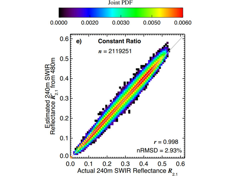
Clear-sky contamination, where a pixel is only partially cloudy, is a challenging and long-standing issue when estimating cloud properties from satellite observations. Werner et al. [2018] demonstrate that if a pixel includes contributions from a darker surface the clouds appear thinner, while seemingly containing fewer and larger water droplets. However, many satellite instruments include a single channel with a higher horizontal resolution. The authors show that these observations can be used to estimate the different contributions from both the cloud and the surface within a pixel. As a result, only the cloudy part of a pixel is used to derive cloud properties. The techniques introduced in this study are validated for different satellite sensors, cloud types and observational conditions. These findings address common concerns about the quality of satellite observations over complex cloud fields and will greatly increase the reliability of the estimated cloud properties.
Citation: Werner, F., Zhang, Z., Wind, G., Miller, D. J., Platnick, S., & Di Girolamo, L. [2018]. Improving cloud optical property retrievals for partly cloudy pixels using coincident higher‐resolution single band measurements: A feasibility study using ASTER observations. Journal of Geophysical Research: Atmospheres, 123. https://doi.org/10.1029/2018JD028902
—Zhanqing Li, Editor, JGR: Atmospheres
Text © 2018. The authors. CC BY-NC-ND 3.0
Except where otherwise noted, images are subject to copyright. Any reuse without express permission from the copyright owner is prohibited.