
Editors’ Highlights are summaries of recent papers by AGU’s journal editors.
Source: Journal of Geophysical Research: Earth Surface
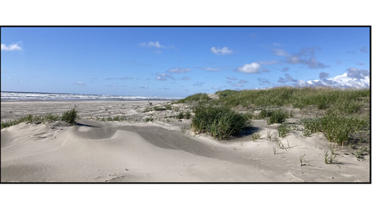
Coastal dunes provide a vital natural buffer against flooding for low-lying infrastructure, yet their capacity to do so varies alongshore due to differences in dune and beach morphology. Heminway et al. [2026] quantify the drivers of alongshore variability across spatial (~40 kilometers) and temporal (multidecadal) scales using data from long-term beach and dune monitoring surveys on the Long Beach Peninsula, Washington, USA. The authors then present sensitivity tests using a reduced-complexity model to isolate the controls on dune change.
Their results identify shoreline change rate as the dominant variable governing alongshore variability in foredune evolution. In addition, beach slope and sediment grain size emerge as important secondary controls. Together, these findings provide a quantitative framework linking shoreline behavior to dune development over decadal timescales.
This study combines a rare multi-decadal field dataset with a reduced-complexity modeling approach to robustly quantify the dominant controls on alongshore variability in dune evolution. By demonstrating the primary role of shoreline change rate in shaping foredune volume over decadal timescales, it provides valuable insight into large-scale sediment-dune coupling in progradational coastal systems.
Beyond its scientific contributions, this work has clear applied implications. Improved understanding of the controls on dune variability can inform coastal hazard assessments, guide dune management strategies, and help constrain risks to coastal communities. In particular, identifying shoreline change rate as a leading indicator provides a practical metric for anticipating future dune behavior.
The study underscores the critical value of long-term monitoring. Multi-decadal datasets of this kind remain rare globally, yet they are essential for detecting trends, validating models, and advancing process understanding. Continued investment in sustained coastal observations, including topography, hydrodynamics, and sediment characteristics, is essential to support both fundamental science and its translation into effective coastal management.
Citation: Heminway, S. S., Cohn, N., van IJzendoorn, C., Ruggiero, P., Wengrove, M., Weiner, H., & Kaminsky, G. M. (2026). Assessing drivers of alongshore variation in historical coastal dune evolution: A field and model-based approach. Journal of Geophysical Research: Earth Surface, 131, e2025JF008717. https://doi.org/10.1029/2025JF008717
—Ana Vila-Concejo, Associate Editor, JGR: Earth Surface