Source: AGU Advances
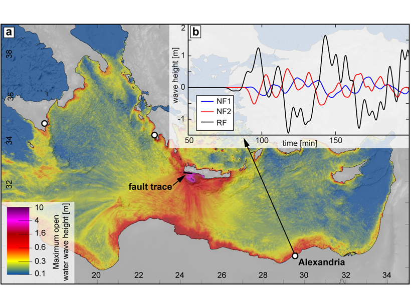
An earthquake shook the Mediterranean region in AD 365 and launched a tsunami that destroyed the city of Alexandria in Egypt, claiming as many as 50,000 lives. The earthquake originated near Crete and is associated with uplifted shorelines as high as 3 meters.
The assumption has been that this earthquake was about magnitude 8 in size, that it occurred on the Hellenic subduction zone that lies beneath Crete, and that the associated seafloor change caused the deadly tsunami. The recurrence probability of this type of event remains a key example that informs seismic and tsunami hazard in the Mediterranean region and its occurrence has implications for subduction zone locking behavior.
However, Ott et al. [2021] find that the observations are also consistent with an offshore cluster of crustal normal faulting earthquakes that happened on known active faults. If their hypothesis is proven, then significant changes are required to our assessment of Mediterranean earthquake and tsunami hazards.
Citation: Ott, R., Wegmann, K., Gallen, S. et al. [2021]. Reassessing Eastern Mediterranean tectonics and earthquake hazard from the AD 365 earthquake. AGU Advances, 2, e2020AV000315. https://doi.org/10.1029/2020AV000315
—Tom Parsons, Editor, AGU Advances
Text © 2021. The authors. CC BY-NC-ND 3.0
Except where otherwise noted, images are subject to copyright. Any reuse without express permission from the copyright owner is prohibited.