Source: Earth’s Future
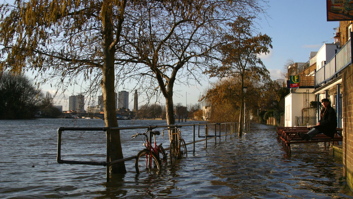
Water levels are creeping upward on shorelines across the world, and decisionmaking systems are not keeping up. One barrier to including sea level rise projections in adaptation plans is limited information on the full range of possible outcomes.
Substantial scientific uncertainty exists around how quickly ice sheets could collapse. This uncertainty means high-end sea level rise projections have been particularly tough for coastal planners to incorporate into their risk assessments for critical infrastructure such as nuclear power plants. In the United Kingdom, current official guidance states that planners should consider a worst-case scenario of 1.9 meters of sea level rise by 2100, but recent scientific evidence suggests that worse scenarios are plausible. Given the broad range and large uncertainty surrounding high-end projections, new tools for decisionmakers are sorely needed.
Weeks et al. present a new decisionmaking framework that includes a “decision-game” approach. This decision-game approach involves a time-step based progression through a plausible sea level rise scenario, allowing participants to prime long-term thinking skills, analyze impacts of previous decisions, and test their strategies for adaptation. The new framework, coproduced by the United Kingdom’s Met Office and Environment Agency, also incorporates scientific advances that have taken place since the last major update to high-end sea level rise projections in 2009.
To test their framework, the researchers held a decision-gaming workshop that was attended by consultants, coastal risk management experts, and climate change advisers. The researchers presented a hypothetical U.K. coastal city to the participants and gradually revealed the local sea level change over the 21st century and beyond for a high-end scenario. Participants held nuanced discussions and gained a deep understanding of the ramifications that their adaptation planning decisions would have over time, the researchers report. With widespread deployment, the framework could help coastal communities build resilience against rising waters. The researchers also note that the approach could be adapted to help make decisions about managing other climate hazards in various regions. (Earth’s Future, https://doi.org/10.1029/2025EF006086, 2025)
—Saima May Sidik (@saimamay.bsky.social), Science Writer