Source: Journal of Geophysical Research: Earth Surface
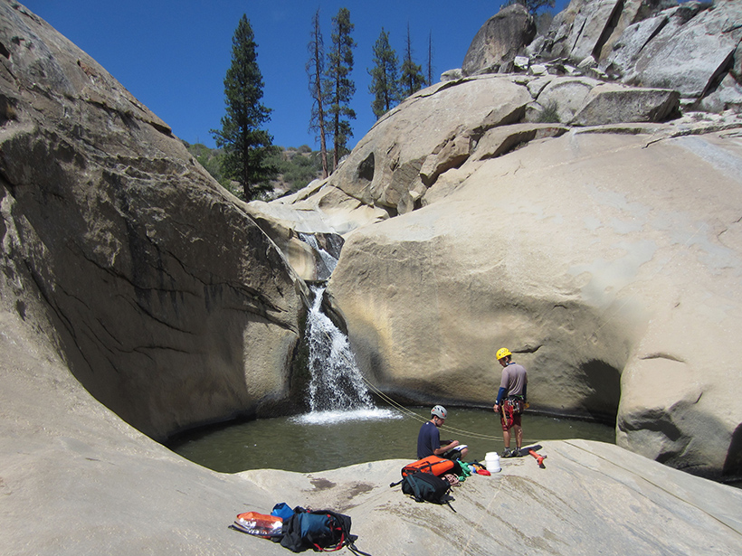
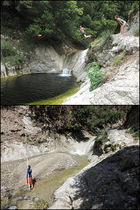
At the base of many waterfalls, cascading water and sediment carve basins in riverbeds known as plunge pools. Sediment that flows into a plunge pool can build up, affecting erosion rates, aquatic ecosystems, and subsequent sediment flow.
Now Scheingross and Lamb have created the first model of sediment transport through plunge pools. The new model mathematically describes the dynamic relationships among sediment and water flow, pool depth, waterfall height, and other parameters in plunge pools with fixed, vertical bedrock walls.
When pools are at equilibrium, equal amounts of sediment flow into and out of a plunge pool, while pool depth stays the same. The model predicts that increases in sediment flow into the pool cause the pool to become more shallow until it reaches a new depth that allows more sediment to be swept downstream. Conversely, a decrease in sediment influx deepens the pool, decreasing downstream sediment flow.
The model also predicts that greater waterfall height, increased river discharge, and smaller sediment size all work to deepen pools and allow more sediment to be transported downstream.
To test the new model, the scientists took measurements at natural waterfalls in California’s San Gabriel Mountains and the Sierra Nevada, as well as on the Hawaiian island of Kauai. They also built their own experimental waterfalls in the lab. Their observations generally match the model’s predictions, with some mismatch likely due to the model’s simple treatment of three-dimensional turbulent water flow in a plunge pool.
As scientists refine the new model, new iterations could perhaps help predict how waterfalls affect landscape erosion and give rise to potentially hazardous debris flows in response to climate change and tectonics. (Journal of Geophysical Research: Earth Surface, doi:10.1002/2015JF003620, 2016)
—Sarah Stanley, Freelance Writer
Citation:
Stanley, S. (2016), Plunging into waterfall sediment transport modeling, Eos, 97, https://doi.org/10.1029/2016EO053691. Published on 07 June 2016.
Text © 2016. The authors. CC BY-NC-ND 3.0
Except where otherwise noted, images are subject to copyright. Any reuse without express permission from the copyright owner is prohibited.