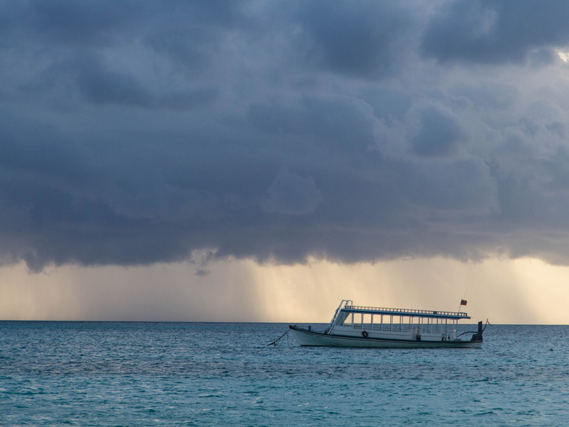
Rain and snow are familiar phenomena, but in tropical clouds, snow only exists in the upper, colder parts of the clouds. Yet the ice falls into the warmer air below, melts, and becomes part of the rain. The atmospheric conditions that cause different rain intensities and types of ice to occur are important to understand but difficult to observe.
In a new study, Barnes and Houze catalog different types of “hydrometeors”—particles of water and ice—that occur in tropical cumulonimbus clouds. Although past studies have used radars to study how ice and liquid hydrometeors occur in rainstorms, this study is the first of this type to examine how ice and liquid particles form in the airflow through the large rainclouds that populate equatorial oceanic regions. The heat released as these particles form in tropical clouds plays a critical role in the energy balance of the atmosphere.
The authors focused specifically on airflow through organized groups of storms known as mesoscale convective systems, which are larger than 100 kilometers in size and are one of the main conduits by which heat from the warm ocean is conveyed to the upper atmosphere. Two main types of airflow influence these groups of clouds: Convective updrafts travel upward and then outward, and midlevel inflows travel laterally and gradually descend. This study shows how the formation of the liquid and ice particles of the clouds is organized and controlled by the unique air motions of mesoscale convective systems.
This study used data from the Indian Ocean collected by a powerful National Center for Atmospheric Research radar. The radar viewed the clouds with Doppler-shifted signals that show the in-cloud air motions and with horizontally and vertically polarized microwaves that allow the nature of the particles in the cloud to be determined. This radar saw clouds in 11 different instances of major rainfall, each spanning 2 days. A particle identification algorithm picked through the extensive data, revealing the type of hydrometeor in different parts of the cloud.
The resulting schematic of these cloud systems showed that in their convective updrafts, the heaviest rain occurred below the upward flowing air. In regions of midlevel inflow, hydrometeors were found in layers with small ice particles forming in the uppermost region of the clouds, with aggregates of ice particles forming toward the middle levels before becoming soggy and melting long before falling to the sea surface.
The observations indicate that processes that produce the liquid and ice particles are very systematically organized with respect to the airflow in the storm. Such a picture of the precipitation-forming processes in large tropical clouds has never before been available. (Journal of Geophysical Research: Atmospheres, doi:10.1002/2014JD022241, 2014)
—Shannon Palus, Freelance Writer
Citation: Palus, S. (2015), Radar shows where water and ice occur in large storms, Eos, 96, doi:10.1029/2015EO026847. Published on 30 March 2015.
Text © 2015. The authors. CC BY-NC 3.0
Except where otherwise noted, images are subject to copyright. Any reuse without express permission from the copyright owner is prohibited.

