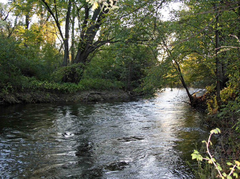
Minnesota’s Vermillion River meanders some 112.7 kilometers before hitting the Mississippi River, passing through myriad tree-lined banks and rocky beaches along the way. What gave this river its width? A team of researchers thinks they now know.
Eke et al. have published a new model that allows scientists to look at the role of interacting bank processes such as deposition and erosion in setting a river’s width. Past models have required scientists to artificially set the river at a constant width, instead of letting it emerge naturally with realistic variations based on input conditions.
The team used the Vermillion River as their test case and found surprising complexity in the evolutionary path a river takes before reaching a stable width. Even the slightest changes in bank conditions can alter its course. The researchers also found that a diverse array of bank conditions can create rivers with identical widths.
A river’s width changes as banks erode and take on fresh deposits because of encroaching vegetation and crumbling beaches. The model allows such banks to move independently. After applying the numerical technique across a wide range of rivers, the researchers found their results were in agreement with what they saw in nature.
The team hopes this link between a meandering river and its banks will give other scientists a fresh perspective to look at long-studied rivers. (Journal of Geophysical Research: Earth Surface, doi:10.1002/2013JF003020, 2014)
—Eric Betz, Freelance Writer
Citation: Betz, E. (2015), How a river gets its width, Eos, 96, doi:10.1029/2015EO024487. Published on 18 February 2015.
Text © 2015. The authors. CC BY-NC 3.0
Except where otherwise noted, images are subject to copyright. Any reuse without express permission from the copyright owner is prohibited.