Source: Geophysical Research Letters
In 2009, researchers reported that weather forecasts represented a $31.5 billion value to U.S. households. Much of this value results from dramatic forecasting improvements over the past several decades. A 2015 study, for example, found that a modern 5-day forecast is as accurate as a 1-day forecast was in 1980.
The new frontier for weather forecasting lies in the stratosphere, which extends from 10 to 50 kilometers above Earth’s surface. Experiments show that improved understanding of stratospheric disturbances like sudden stratospheric warmings (SSWs), when temperatures in the stratosphere can spike by more than 50°C in just a few days, can lead to better short- and long-term weather forecasts.
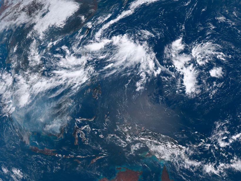
In September 2019, scientists recorded a rare Antarctic SSW that resulted in the largest September stratospheric temperature anomalies of the 40-year satellite record. Noguchi et al. used the event to investigate how this warming in the stratosphere affected weather in the tropics and around the globe.
Using the atmospheric general circulation model and ensemble prediction system from Japan’s Meteorological Research Institute (MRI-EPS), the authors ran a series of forecast experiments. They developed a “perfect stratosphere” forecast based on the atmospheric conditions during the event and compared it to a standard forecast that didn’t contain any anomalies.
The comparison revealed that Antarctic SSWs significantly affect convective activity in the tropics, particularly in the Northern Hemisphere, and that SSWs contribute to the development of tropical cyclones and enhance the probability of extreme weather during the Northern Hemisphere summer and early autumn. The southern area of the Asian monsoon appears to be particularly sensitive to this disruption.
Through this study, the authors demonstrated a teleconnection between the Antarctic stratosphere and the tropical troposphere. The authors note that their findings may improve long-range seasonal forecasts for the tropics and weather predictions worldwide. (Geophysical Research Letters, https://doi.org/10.1029/2020GL088743, 2020)
—Aaron Sidder, Science Writer
Citation:
Sidder, A. (2020), Warming in the Antarctic stratosphere affects tropical weather, Eos, 101, https://doi.org/10.1029/2020EO148522. Published on 01 September 2020.
Text © 2020. AGU. CC BY-NC-ND 3.0
Except where otherwise noted, images are subject to copyright. Any reuse without express permission from the copyright owner is prohibited.
Text © 2020. AGU. CC BY-NC-ND 3.0
Except where otherwise noted, images are subject to copyright. Any reuse without express permission from the copyright owner is prohibited.