Academic, industry, and government representatives convened for the Fourth Meeting of the Global High Frequency Radar Network (GHFRN). This network was established in 2012 as part of the Group on Earth Observations (GEO) to promote high-frequency (HF) radar technology.
HF radar networks produce hourly maps of ocean surface currents within 200 kilometers of a coastline, as shown in the accompanying map. The technology is becoming a standard component for ocean observing systems—approximately 400 radar systems are in place around the world—but only 2% of the world’s coastline is measured with this technology.
Nine of the 35 countries within GEO that operate HF radar networks were represented at the meeting. Presentation topics included
- a multiyear data set from Greece analyzing outflow from the Black Sea into the Aegean
- coordination of HF operations in Italy
- using surface current measurements in the Balearic Channels south of Spain to validate a regional ocean model in the western Mediterranean
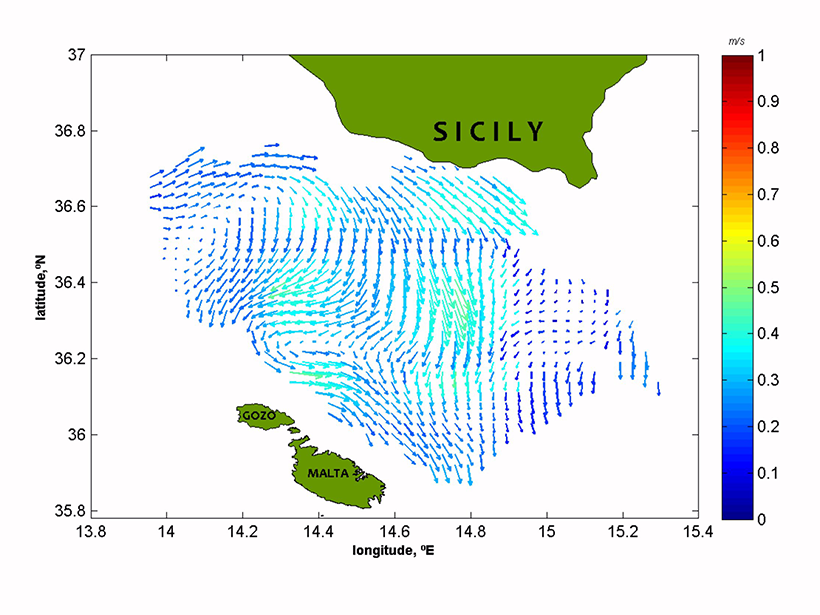
- surface current measurements in the Malta Channel and the Santa Barbara Channel (California) for oil spill response
- status updates from U.S. and Australian national networks
- the multitude of applications being developed along the Iberian Peninsula
- development of a national network in Saudi Arabia
A Growing Network of Support Organizations
Several regional groups exist to promote HF radar technology. The Radiowave Operators Working Group, based in the United States, was established in 2004 to foster collaboration between new and experienced HF radar technicians. Europe followed in 2014 by creating an HF radar task team within the European Global Ocean Observing System. The Ocean Radar Community for Asia–Pacific Rim was established in 2015 to build upon the successes of GHFRN meetings in South Korea in 2012 and Taiwan in 2014. These groups were well represented at the recent meeting.
A key focus of the meeting involved how to develop standardization practices.
The GHFRN is aiming to standardize data formats across the regions, develop quality control standards and emerging applications of HF radar measurements, and accelerate the assimilation of the surface current measurements into ocean and ecosystem models. A key focus of the meeting involved how to develop these standardization practices.
Frequency Band Protection
The need for radio frequency protection prompted one action item that originated from the conference. Resolution 612 of the 2012 International Telecommunication Union (ITU) World Radiocommunication Conference established the use of radiolocation services between 3 and 50 MHz to support oceanographic radar.
The Group on Earth Observations plans to help representatives in their respective countries work on enforcing the International Telecommunication Union frequency band allocation.
Nonetheless, interference on these frequencies, mostly by shortwave radio broadcasters—some even broadcasting from vessels outside of national authorities—has affected HF radar operations in places like Italy and Saudi Arabia. Other examples cited at the meeting showcased the need for this protection. GEO has identified radio frequency protection as one of its priorities and plans to help GEO representatives in their respective countries work on enforcing the ITU frequency band allocation.
—Hugh Roarty, Rutgers University, New Brunswick, N.J.; email: [email protected]; Lisa Hazard, Scripps Institution of Oceanography, La Jolla, Calif.; and Enrique Alvarez Fanjul, Puertos del Estado, Madrid, Spain
Citation: Roarty, H., L. Hazard, and E. A. Fanjul (2016), Growing network of radar systems monitors ocean surface currents, Eos, 97, doi:10.1029/2016EO049243. Published on 5 April 2016.
Text © 2016. The authors. CC BY-NC 3.0
Except where otherwise noted, images are subject to copyright. Any reuse without express permission from the copyright owner is prohibited.