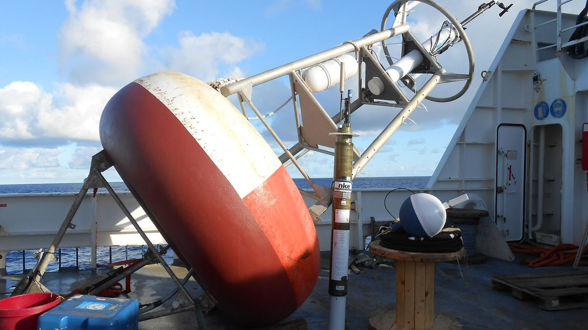
An uncertain funding landscape threatens the longevity of an ocean observation system critical to projecting tropical storms, sea level rise, and more.
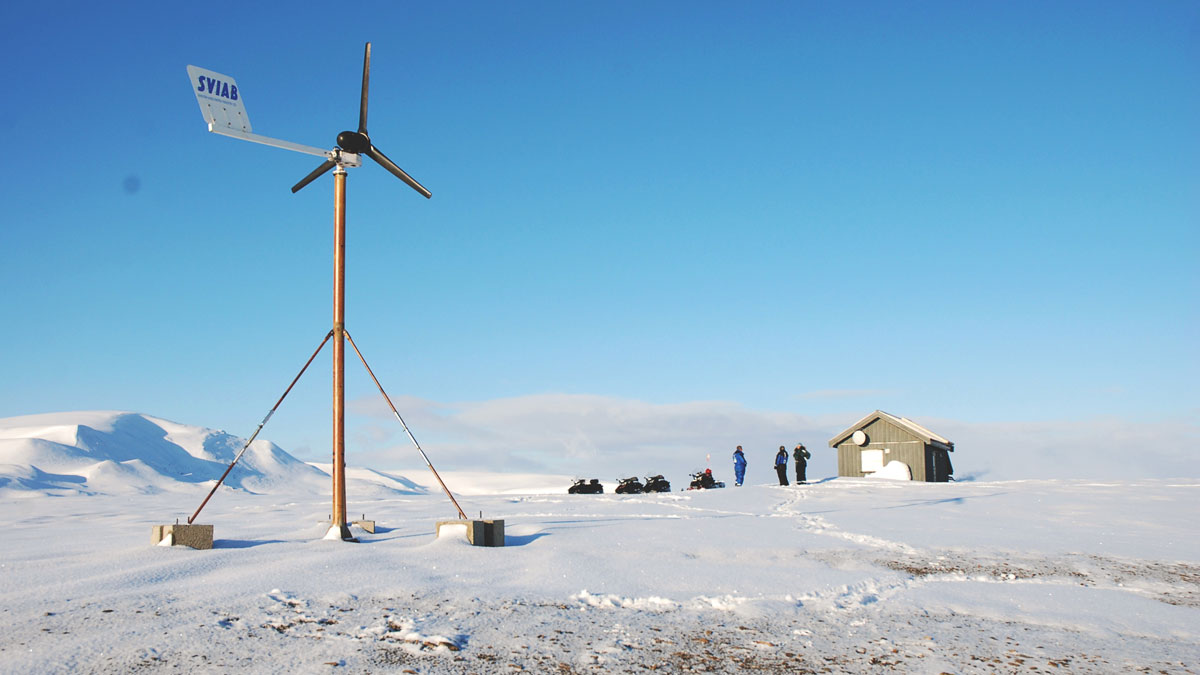
monitoring networks
Posted inResearch Spotlights
AI Improves Earthquake Detection
A new study shows the pros and cons of different model training methods.
Posted inResearch & Developments
Trump Administration to Remove Hundreds of Deep-Ocean Observation Instruments, Dismantling $368 Million Program
The Trump administration’s National Science Foundation (NSF) has begun dismantling the infrastructure of a $368 million deep-ocean observing program critical to monitoring marine ecosystems, global currents, marine heat waves, and more, according to a 21 May announcement.

Posted inNews
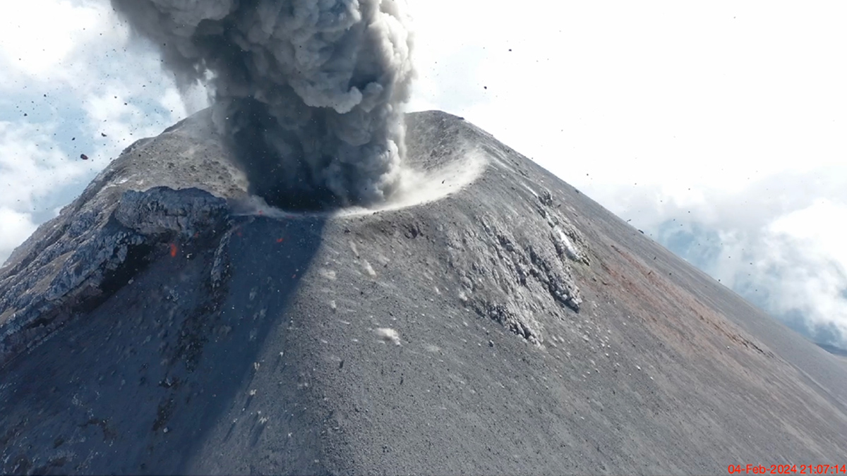
Heavy Rainfall Inflates Mount Fuji
The uplift, several centimeters in magnitude, is likely caused by water pooling in the mountain’s shallow aquifers. The effect is shorter lived than deformation caused by magmatic activity.

Posted inNews
Scientists Find Thousands of Cubic Kilometers of Magma Hiding Beneath Tuscany
We already know what’s Under the Tuscan Sun. Now, a technique called ambient noise tomography has allowed researchers to see deep under the Tuscan crust.
Posted inScience Updates
Sensing the Sounds from Earth’s Hazardous Environments
Low-cost infrasound sensors, deployed in large numbers, provide a practical means of data collection near volcanoes, earthquakes, wildfires, and other geophysical phenomena.
Posted inNews
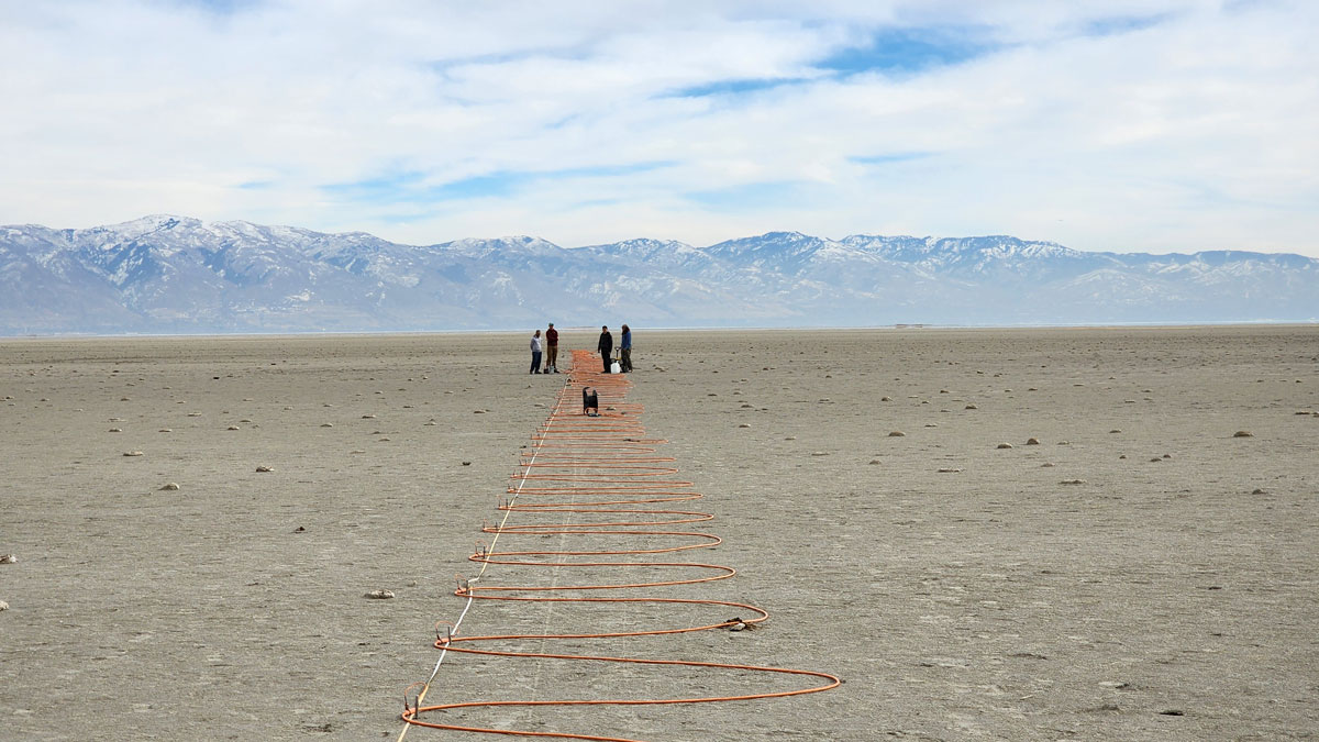
What’s Below the Great Salt Lake? More Water
Pools of fresh water and salt water not far below the lake bed help explain some of the lake’s curious features, including mineral mounds and reed islands.
Posted inResearch Spotlights
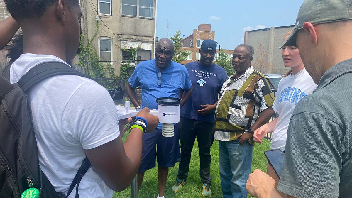
Fixing Baltimore’s Unequal Weather Data Coverage
A new partnership between researchers and community members created a comprehensive network of weather stations across underserved areas of the city.
Posted inScience Updates
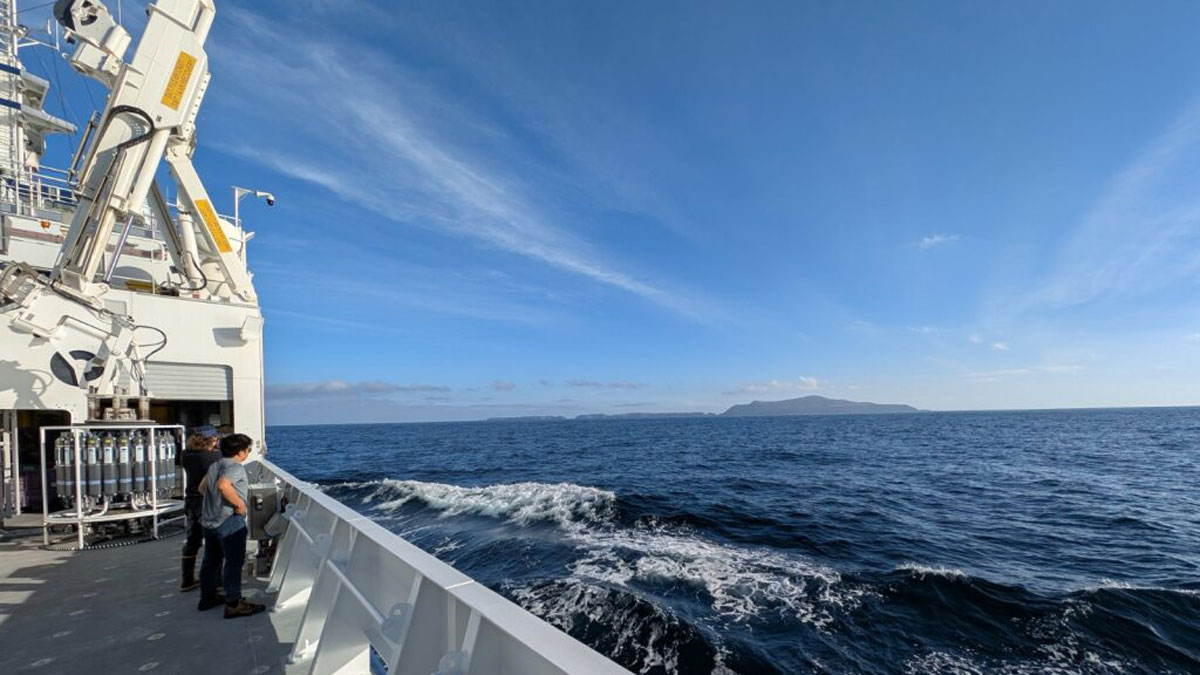
A New Twist on Robotic Float Data Reveals Critical Ocean Chemistry
A novel application of a statistical method to existing data from the global network of BGC-Argo floats unveiled chemical measurements critical to tracking nitrogen cycling in oxygen minimum zones.
Posted inNews
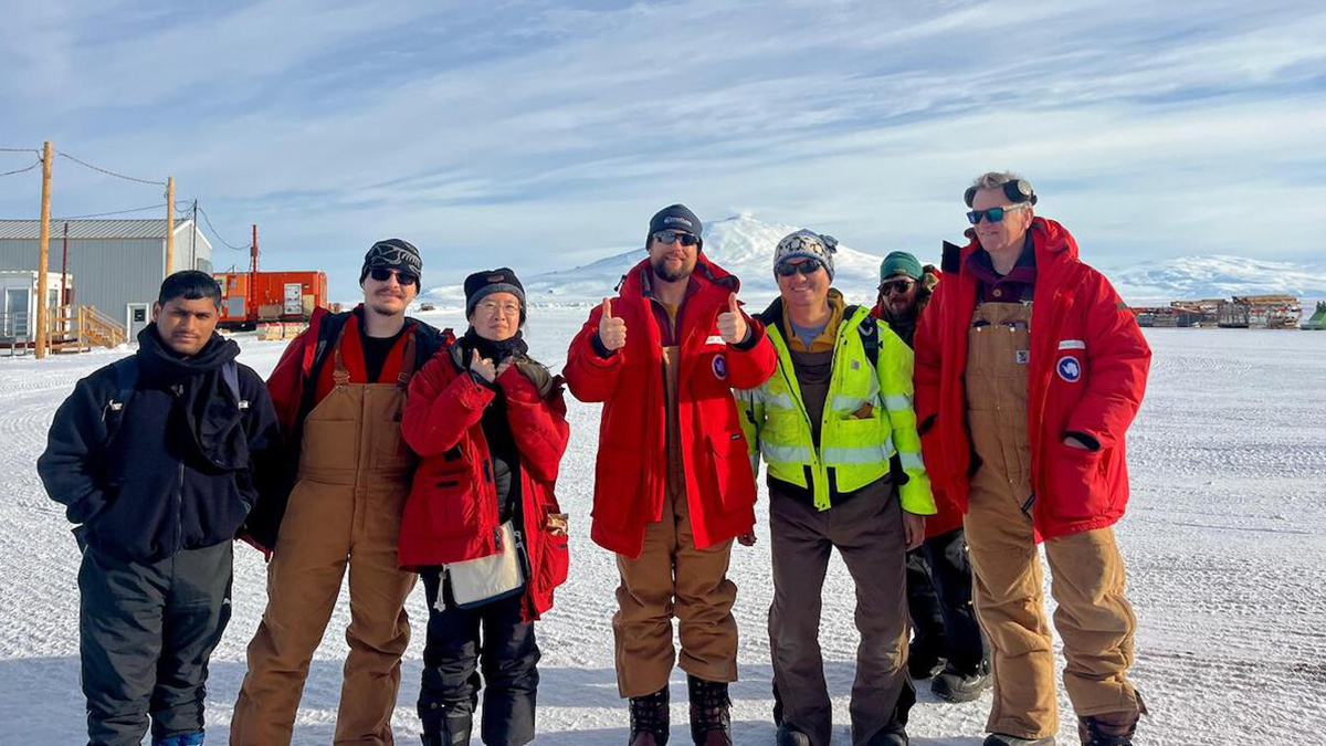
These South Pole Seismometers Will Detect Vibrations 1.5 Miles Under the Ice
The instruments will freeze into Antarctica’s ice sheet, where they will collect detailed, global-scale seismic data.