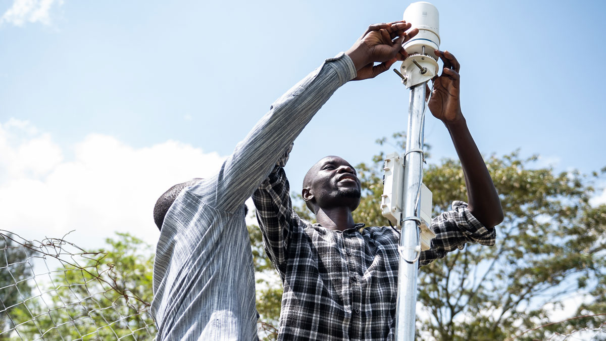
A lack of weather data often leaves African communities vulnerable. Convergent efforts to improve observational networks throughout the continent are slowly filling the gaps.
monitoring networks
Posted inOpinions
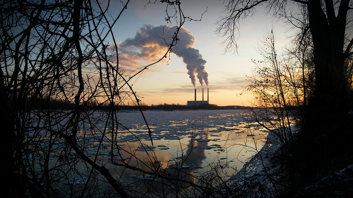
A Better Way to Monitor Greenhouse Gases
A unified, global observing system could more effectively monitor progress in reducing emissions and accelerate climate action through improved data and decision support.

Posted inNews
Scientists Tune In to the Ocean’s Sound Waves
A new technique detects inaudible acoustic signals from crashing waves, opening up possibilities for monitoring sea and atmospheric conditions from shore.
Posted inNews
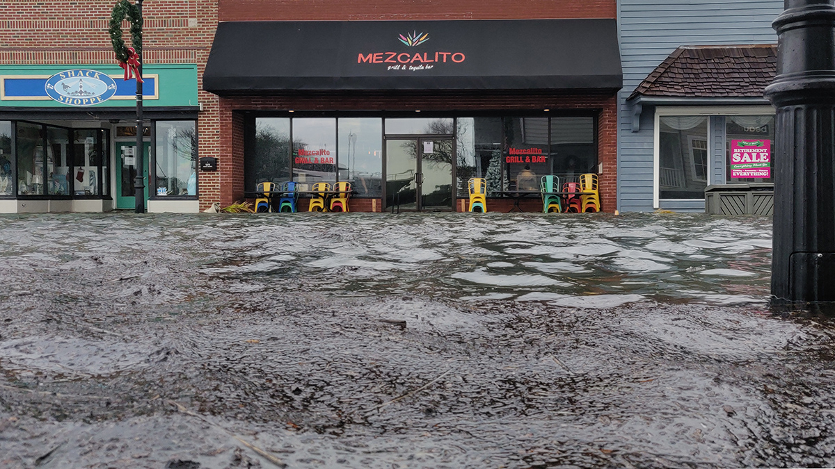
Residents Know When Floods Happen, But Data Must Catch Up
Federal flood measurements often don’t match what people see in their communities. Scientists have created a hyperlocal solution.

Posted inResearch Spotlights
A Transatlantic Communications Cable Does Double Duty
A new device enables existing submarine cable networks to measure deep-sea movements. It could ultimately help improve tsunami warnings and climate monitoring.

Posted inScience Updates
Two Neutron-Monitoring Networks Are Better Than One
Hydrologists, atmospheric scientists, and space scientists are teaming up to keep a closer eye on soil moisture, hazardous space weather, and more.
Posted inResearch Spotlights
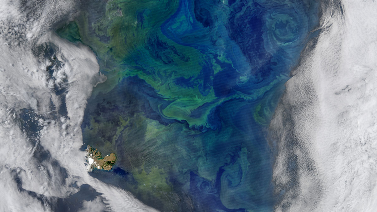
On the Origins of Subantarctic Mode Waters
A modeling study shows how warm subtropical waters and cold Antarctic waters combine to form an Indo-Pacific water mass that plays a key role in Earth’s climate.
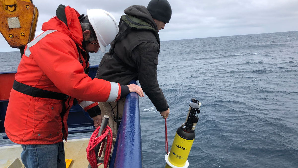
Posted inResearch Spotlights
Robotic Floats Quantify Sinking Carbon in the Southern Ocean
An estimated 2.69 billion tons of carbon are exported to the deep sea every year from the Southern Ocean.
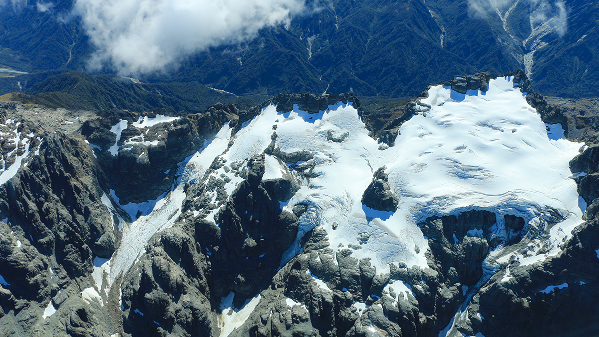
Posted inNews
First Global Comparison of Glacier Mass Change: They’re All Melting, and Fast
By systematically assessing data gathered by different methods, researchers refined estimates of global glacier melt and its contribution to sea level rise.

Posted inNews
Seismometers Provide Fuller Picture of Los Angeles Groundwater
A new method to evaluate deep aquifers shows even torrential rains haven’t fully replenished groundwater beneath Los Angeles.