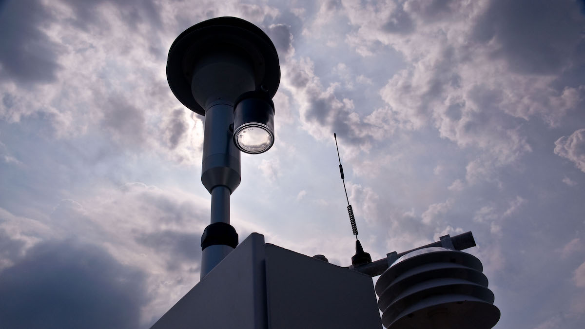
Current EPA air monitoring may not capture the extent of particulate air pollution.
monitoring networks

Posted inScience Updates
An Unprecedented Experiment to Map Kīlauea’s Summit Magma System
Dozens of researchers deployed nearly 2,000 seismic stations—and a T-Rex—to better illuminate subsurface structure and magma storage below the summit of the highly active volcano.
Posted inNews
Fiber-Optic Cables Used to Measure Changing Soil Moisture
Scientists are using seismic techniques to measure soil moisture. Their results show that recent droughts in California depleted water in the shallow subsurface.
Posted inResearch Spotlights
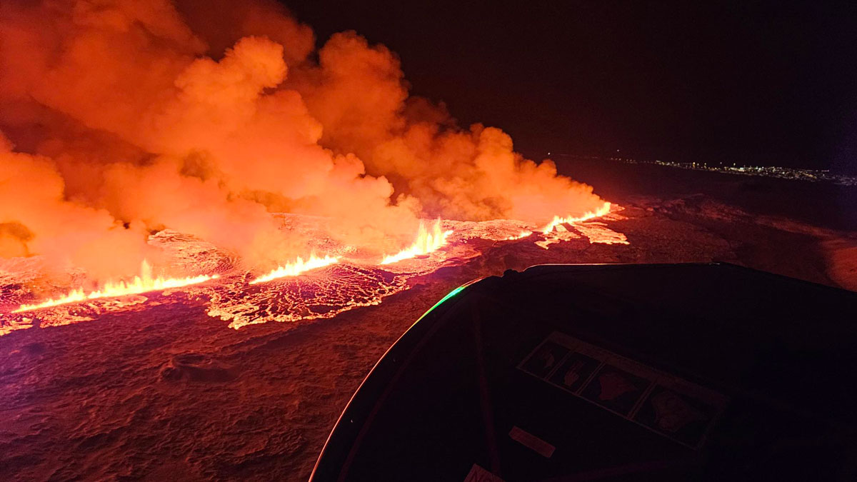
En una rara oportunidad, investigadores observan la formación de los valles islandeses
Durante el período previo a las recientes erupciones volcánicas cerca de la ciudad de Grindavík, científicos documentaron la formación de grabens en tiempo real.
Posted inResearch Spotlights
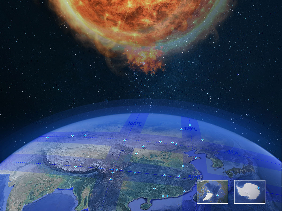
From Sun to Earth: A New Network for Comprehensive Space Weather Monitoring
The Chinese Meridian Project combines hundreds of instruments for a detailed, three-dimensional view of the solar-terrestrial environment.

Posted inNews
U.S. Earthquake Early Warning System Gets a Major Upgrade
Satellite capabilities will improve the accuracy of ShakeAlert earthquake magnitude measurements.

Posted inNews
Wissenschaft verknüpft den Wald mit dem Internet der Dinge
Ausgestattet mit rund 10,5 Mio. Euro an Forschungsgeldern werden Forschende neuartige Sensoren zum Einsatz bringen, die der Assimilation von Daten in Echtzeit und der Erstellung von Modellen dienen, die die Auswirkung von Klimaveränderungen auf Waldgebiete abbilden.

Posted inResearch Spotlights
In Rare Opportunity, Researchers Observe Formation of Icelandic Valleys
During the lead-up to recent volcanic eruptions near the city of Grindavík, scientists documented graben formation in real time.

Posted inResearch Spotlights
Seismologie: Ein vielversprechender Weg zur Überwachung von Permafrost
Passive seismische Daten von einer Messstation auf der Zugspitze zeichneten im Lauf der letzten 15 Jahre den Schwund von Permafrost auf. Somit eignet sich dieses Verfahren vermutlich auch für die langfristige Überwachung der Umwelt.

Posted inResearch Spotlights
Watching and Listening for Signs of Slope Failure
Ten years of data preceding a rockfall in the French Alps suggest the need for more comprehensive monitoring systems.