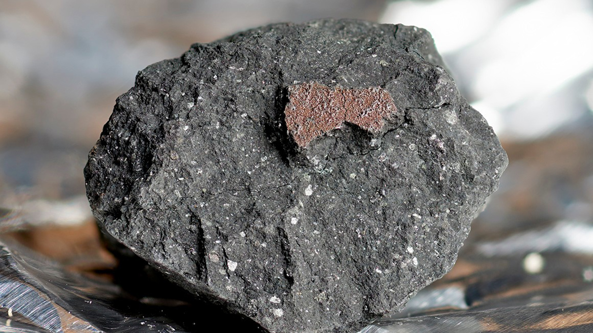
The Winchcombe meteorite was recovered, largely from a driveway, just hours after it fell to Earth, preserving evidence that its early relatives could have filled Earth’s oceans.
monitoring networks
Posted inScience Updates
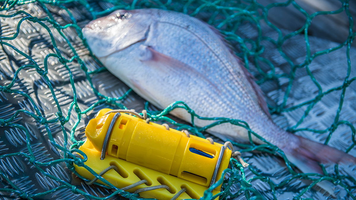
The Moana Project Braids Tradition and Science for a More Sustainable Ocean
Scientists and Māori communities in Aotearoa New Zealand are gathering knowledge on marine conditions and ecosystems to protect livelihoods and help ensure a sustainable future for the blue economy.

Posted inScience Updates
Telecom Fibers Are Sensing Earthquake Hazards in Istanbul
A fiber-optic cable below Türkiye’s earthquake-prone metropolis is offering new details about how seismic waves will rattle the city—and demonstrating the potential of a bigger monitoring effort.
Posted inResearch Spotlights
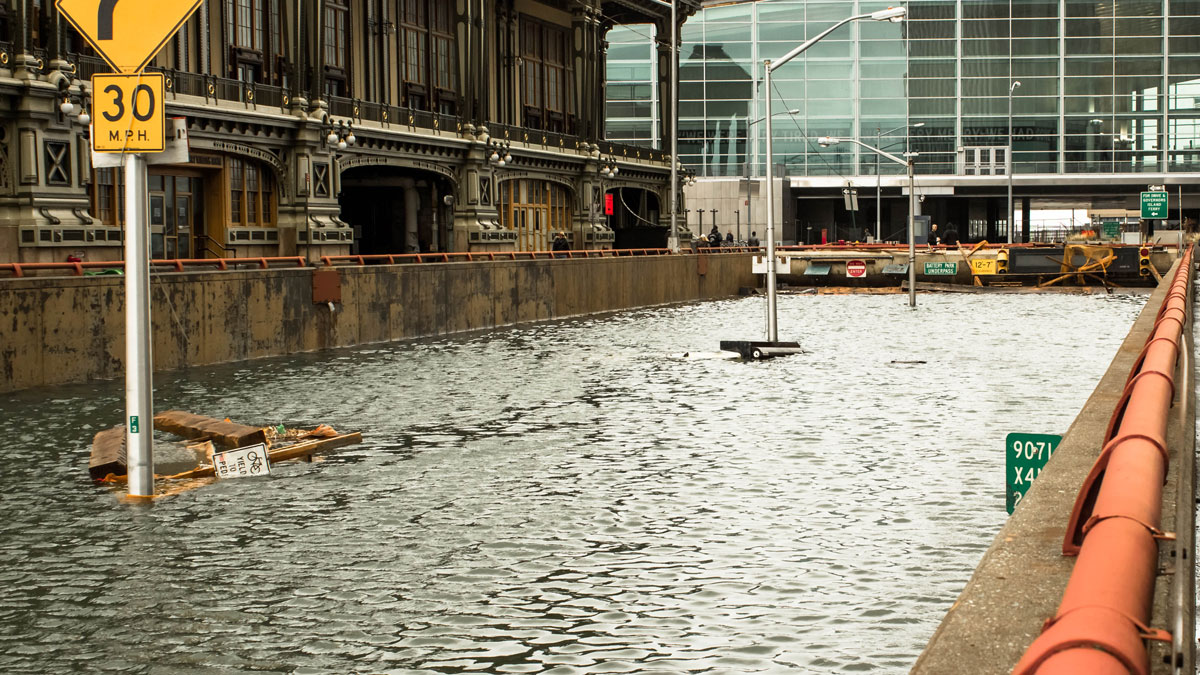
Alerting Communities to Hyperlocalized Urban Flooding
A high-accuracy, low-cost sensor network may change the way urban floods are detected and monitored.
Posted inResearch Spotlights
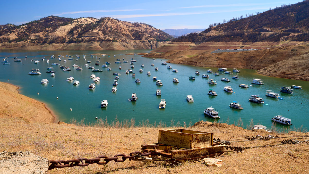
When Extreme Drought Becomes Commonplace
As drought becomes a more regular occurrence, a new study looks at the U.S. Drought Monitor, the nation’s preeminent drought classifier, to see how it has reflected climate change since 2000.

Posted inENGAGE, News
Swift Quakes Caused by Stomping Feet, Not Booming Beat
Concert tunes don’t make the same seismic noise as the exuberant crowd does.
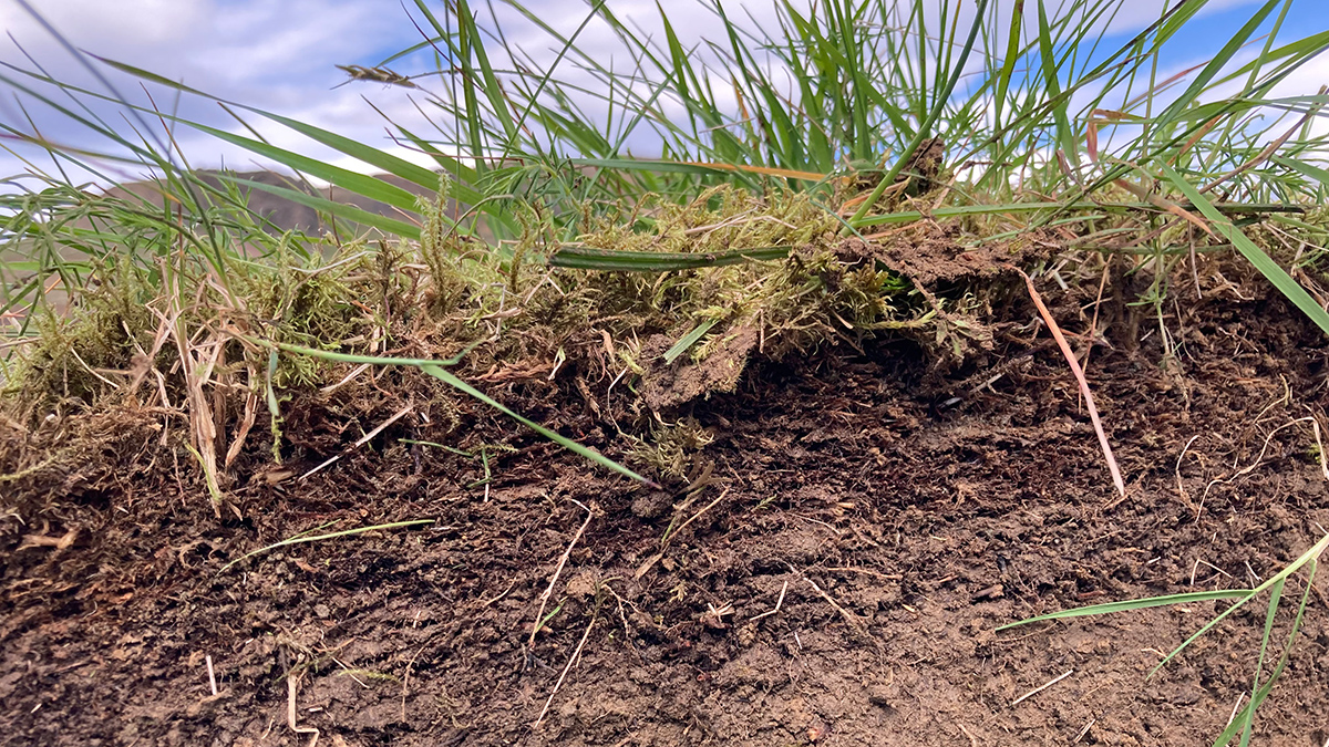
Posted inScience Updates
How Are Deep Soils Responding to Warming?
Scientists aim to integrate observations from deep-soil-warming experiments worldwide to better understand how ecosystems vital to food security and environmental health will react to climate change.

Posted inENGAGE, News
Moonlit Nights Change a Coral Reef’s Tune
Some reef fish get chattier when the Moon is out, while feisty snapping shrimp and other invertebrates pipe down.

Posted inENGAGE, News
Radioamadores Foram Usados Para Obter Informações sobre a Ciência Ionosférica Durante o Eclipse
Operadores de rádio amadores que estudam a física espacial e a atmosfera superior investigaram a resposta da ionosfera ao eclipse solar anular de 2023 usando transmissões de ondas curtas.

Posted inENGAGE, News
No Canadian Volcanoes Meet Monitoring Standards
A new analysis reveals serious monitoring gaps at even the highest-threat volcanoes.