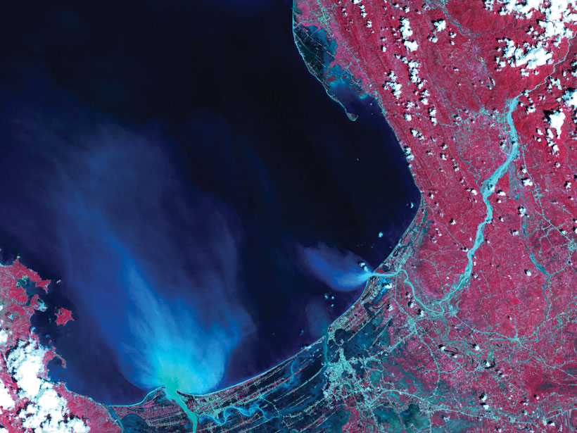
This month’s issue of Eos shows how scientists can sometimes get a better look at something by stepping far—much, much farther—away.
remote sensing
Posted inResearch Spotlights
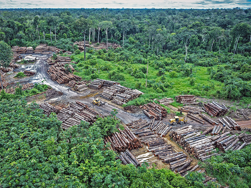
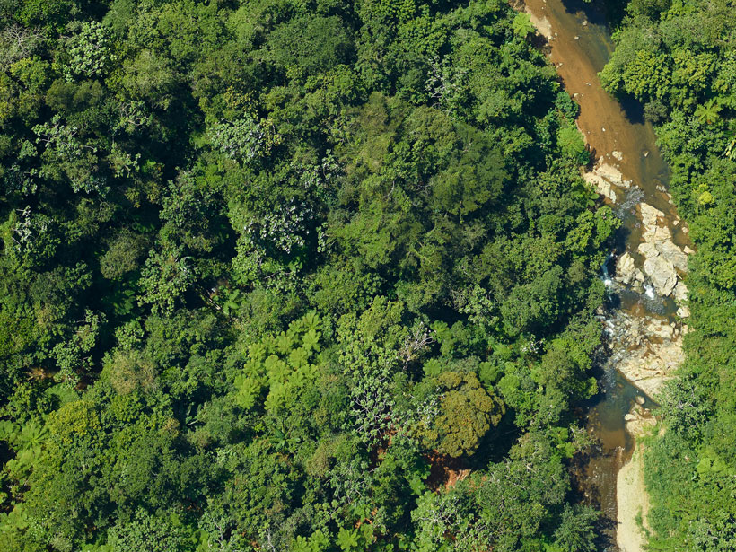
How Forest Degradation Affects Carbon and Water Cycles
Forest degradation may be as widespread as deforestation in the Amazon, but its impact on energy, carbon, and water fluxes is less well understood.
Posted inEditors' Highlights
Can We Observe How Cloud Clustering Affects the Radiation Budget?
Satellite observational analysis confirms that lower-atmospheric stability and cloud clustering are major factors modulating the tropical radiation budget that had been suggested by modeling studies.

Posted inEditors' Highlights
Machine Learning Predicts Subsidence from Groundwater Pumping
Machine learning and data on aquifer type, sediment thickness, and proxies for irrigation water use has been used to produce the most comprehensive map of land subsidence in the western U.S. to date.
Posted inEditors' Highlights
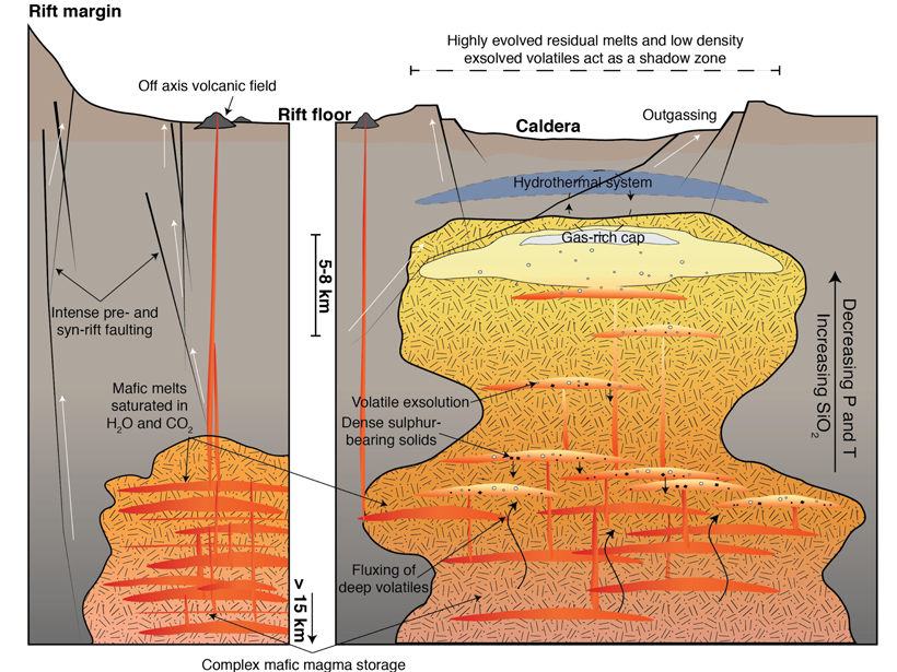
Gas-Rich, Transcrustal Magma Storage in the Main Ethiopian Rift
Increments of melt trapped in crystals reveal upper crustal magmas in the Main Ethiopian Rift are rich in water and other volatiles, leading to extensive diffuse degassing and hydrothermal systems.
Posted inScience Updates
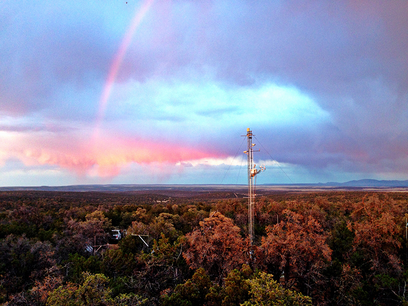
Measuring, Monitoring, and Modeling Ecosystem Cycling
Scientists leverage long-term environmental measurements, emerging satellite observations, and recent modeling advances to examine changes in ecosystem carbon and water cycling.
Posted inResearch Spotlights
In Vegetation Growth Studies, What You Measure Matters
Different satellite-based metrics for global vegetation coverage tell complementary, but not identical, stories.

Posted inScience Updates
Eyes in the Sky Improve Pollen Tracking
Physicians, public health officials, and experts in remote sensing and ecology recently met to identify ways that satellites, webcams, and crowdsourced science could help them manage asthma and allergies.
Posted inScience Updates
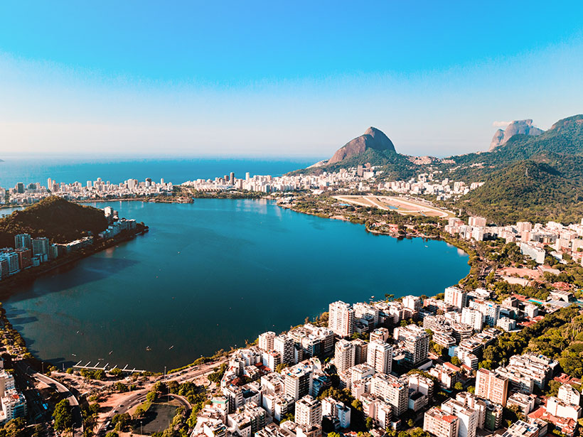
Earth Observations Inform Cities’ Operations and Planning
Rio de Janeiro, Brazil, and Chicago, Ill., are using NASA Earth observations to map, monitor, and forecast water and air quality, urban heat island effects, landslide risks, and more.

Posted inResearch Spotlights
Great Plains Plants Bounce Back After Large Wildfires
An analysis of nearly 1,400 wildfires suggests that some postfire techniques used to help restore vegetation may be unnecessary.