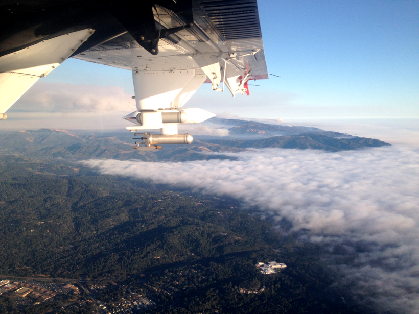
Direct observations from flights over coastal California reveal more about aerosol plumes released by burning biomass.
aircraft

Posted inNews
Free Flight Time for Projects in Atmospheric Sciences
Got an urgent or innovative project that involves collecting airborne data? A research flight company is donating an estimated $100,000 of its resources to help you.

Posted inNews
Seafloor Data from Lost Airliner Search Are Publicly Released
Detailed maps of the bottom of the Indian Ocean reveal deep canyons and landslides but no wreckage of Malaysia Airlines flight MH370, which went missing in 2014.

Posted inScience Updates
Measuring Earth’s Gravity Field from the Air
2016 Airborne Gravimetry for Geodesy Summer School; Silver Spring, Maryland, 23–27 May 2016

Posted inNews
Surveying Alaskan Minerals from Afar
By using hyperspectral imaging, researchers test their ability to find copper in remote areas.

Posted inNews
Storms Cause Infrequent Turbulence for Aircraft, New Study Finds
Scientists using lightning sensors to automate air-turbulence detection have found evidence that storms jostle aircraft much less than previously thought.
Posted inScience Updates
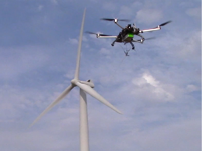
Drone Squadron to Take Earth Monitoring to New Heights
Scientists will soon be able to call on a community fleet of unmanned aircraft systems to perform environmental studies.
Posted inResearch Spotlights
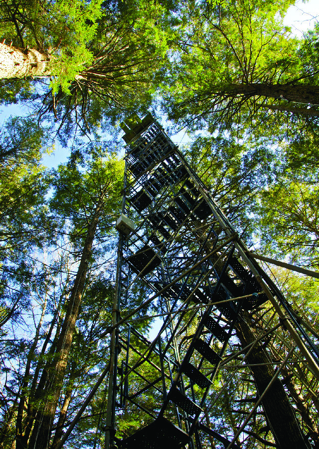
A Remote Sensing Technique for Measuring Forest Composition
A new technique to remotely sense a forest’s tree composition using airborne observations.