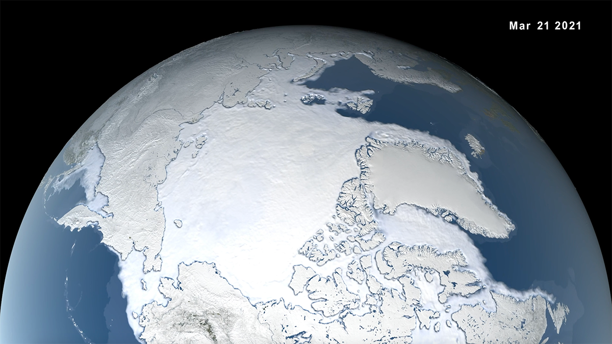
Climate change is increasing the frequency of moisture-dumping atmospheric rivers in the Arctic. The storms are pushing back sea ice at a time of year when it should be expanding.
atmospheric rivers

Posted inEditors' Highlights
Landfall Temperature of Atmospheric Rivers on the US West Coast
Atmospheric rivers that start in warm areas of the North Pacific generally stay warm, leading to warmer landfall temperatures in the western United States.
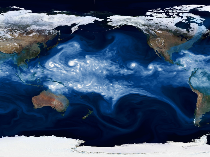
Posted inEditors' Highlights
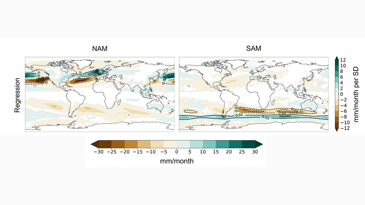
How Do Atmospheric Rivers Respond to Extratropical Variability?
Atmospheric river variability over the last millennium is primarily driven by north-south displacements in zonal winds induced by the annular modes.
Posted inResearch Spotlights
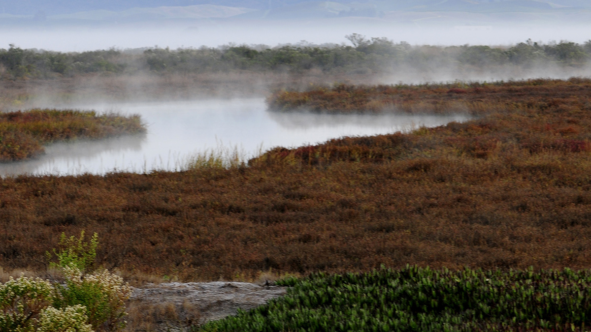
Atmospheric Rivers Help Coastal Wetlands Build Up Sediment
Accounting for these storms and flooding can help experts predict and respond to rising sea levels.
Posted inEditors' Highlights
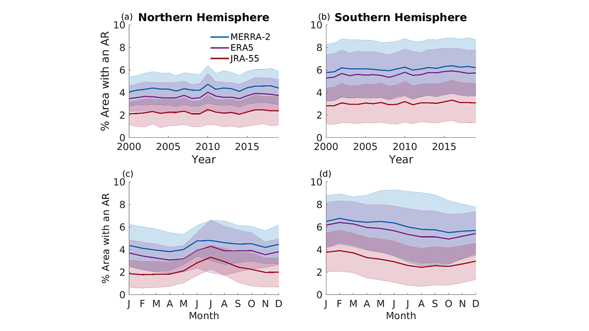
Comparing Methods for Analysis of Atmospheric Rivers
Results from the Atmospheric River Tracking Method Intercomparison Project (ARTMIP) describe the similarity and difference of using eleven detection algorithms and three reanalysis products.

Posted inNews
A New Clue to Antarctic Ice Shelf Collapse
A particular kind of storm coincided with 13 of the 21 recent calving events in Antarctica.

Posted inNews
Atmospheric Rivers Spur High-Tide Floods on U.S. West Coast
Researchers analyzed 36 years of data to understand how atmospheric rivers and other factors drive chronic coastal flooding.
Posted inNews
Teaching Machines to Detect Climate Extremes
Artificial intelligence can be used to analyze massive amounts of data from climate simulations, but more training data are needed.

Posted inNews
Atmospheric Rivers Have Different “Flavors”
New research is helping scientists understand why moisture-laden atmospheric rivers of similar intensities have different effects on land.

Posted inEditors' Highlights
Atmospheric Rivers Trigger Heavy Snowmelt in Western USA
A rare atmospheric phenomenon that transports large quantities of water vapor into the coastal watersheds of the western USA is responsible for up to 10–20% of intense snowmelt events in the region.