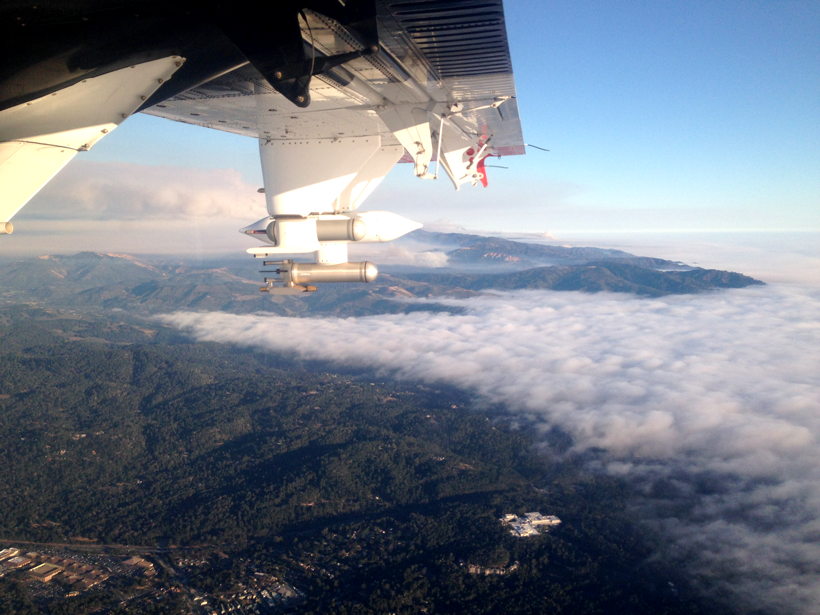
Direct observations from flights over coastal California reveal more about aerosol plumes released by burning biomass.
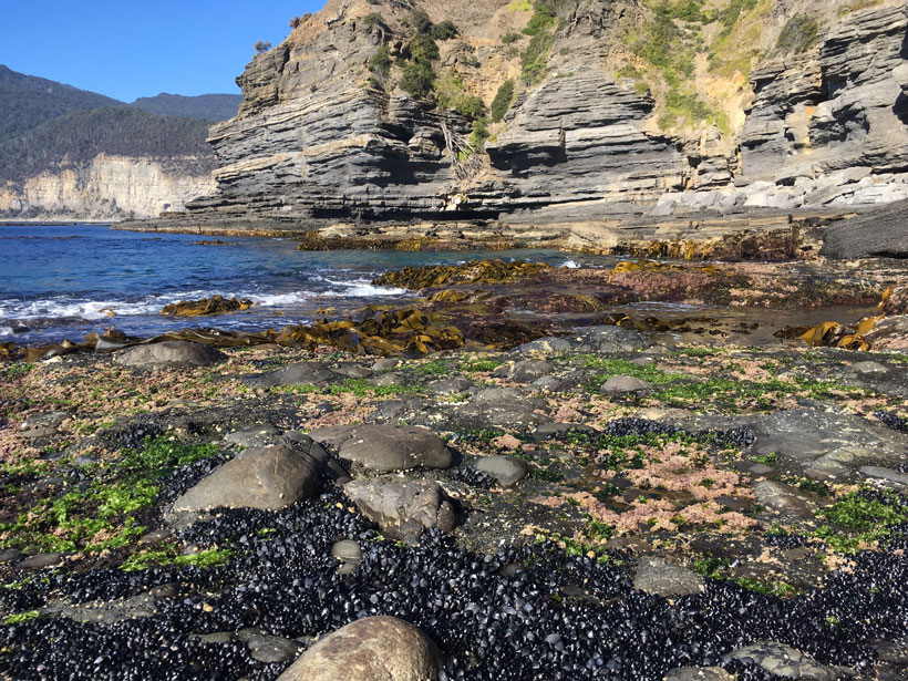
beaches, coasts, & shorelines

Posted inNews
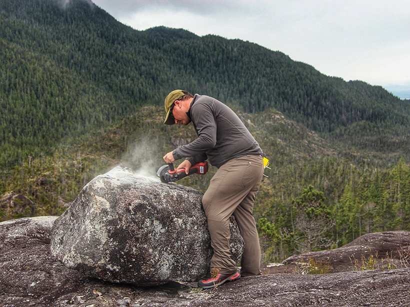
Largest Delta Plain in Earth’s History Discovered in Arctic
If this Triassic period delta existed today, its footprint would equal about 1% of all land on Earth.

Posted inResearch Spotlights
When the River Meets the Sea: Estuary Sediments and Hypoxia
Scientists know that low-oxygen dead zones are growing worldwide. New research sheds light on what that will mean for estuary systems if trends continue.
Posted inResearch Spotlights
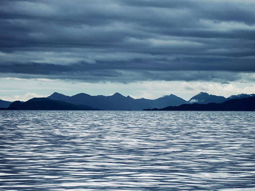
More Evidence Humans Migrated to the Americas via Coastal Route
A new chronology shows that ice-free areas existed along the British Columbia coast earlier than previously thought.

Posted inScience Updates
Challenges and Opportunities in Coastal Prediction
Mooers Coastal Ocean and Atmosphere Prediction Workshop; Mount Hood, Oregon, 15 September 2018
Posted inScience Updates
Keeping a Watch on Seaweeds: The Forests of the World’s Coasts
Planning the Implementation of a Global Long-Term Observing and Data Sharing Strategy for Macroalgal Communities; Hobart, Tasmania, Australia, 24–26 September 2018

Posted inScience Updates
Climate Change and Sea Level Rise in the Mediterranean
1st National Workshop on Climate Change and Sea Level Rise in the Mediterranean; Rome, Italy, 5–6 July 2018
Posted inResearch Spotlights
Tool to Capture Marine Biological Activity Gets Coastal Upgrade
Upwelling hinders an efficient method to estimate a key measure of biological productivity in coastal waters, but accounting for surface temperatures could boost accuracy.
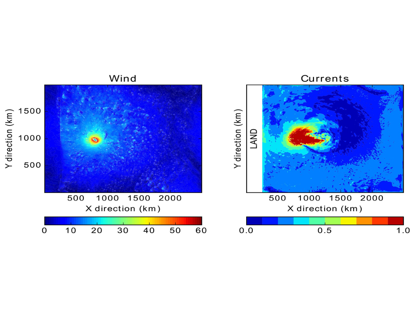
Posted inEditors' Highlights
Can Coastal Surface Currents Improve Hurricane Forecasts?
An idealized model explores whether hurricane intensity forecasts could potentially be improved by incorporating coastal surface currents data.
Posted inNews
Christopher N. K. Mooers (1935–2018)
This passionate physical oceanographer, a leader and catalyst in coastal studies, explored many facets of nearshore circulation and advanced the modeling and forecasting of coastal dynamics.