
Waterfalls sometimes imply a past dramatic event, like tectonic uplift or a landslide. Self-formed waterfalls could challenge that interpretation.
California

Posted inEditors' Highlights
How Brown Carbon and Coatings on Black Carbon Affect Absorption
While ambient black carbon absorption is shown largely independent of coatings, distinct types of atmospheric brown carbon coexist, deriving from primary emissions and secondary processing.
Posted inFeatures
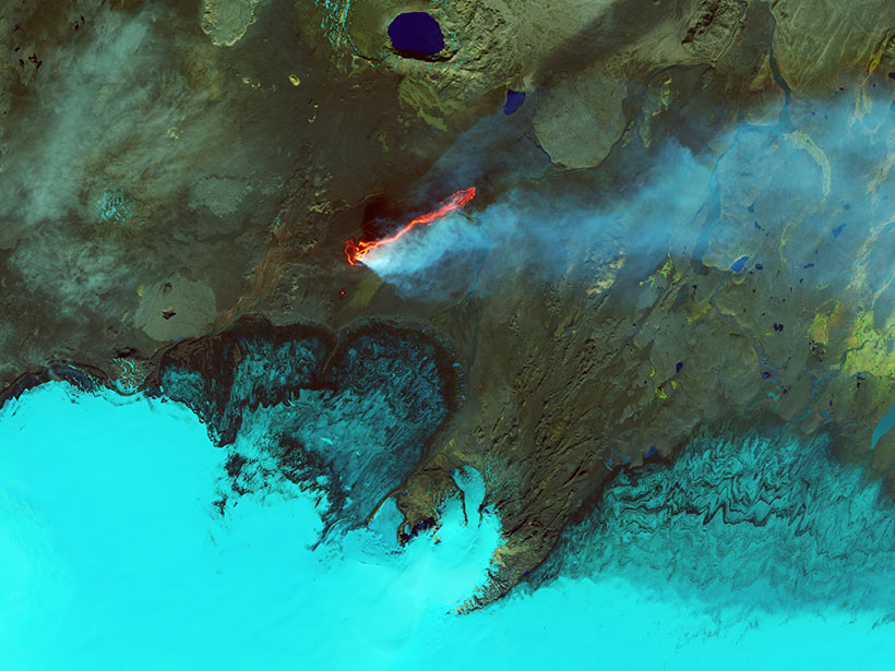
Earth’s Devastating Power, Seen by Satellite
Hurricanes, volcanoes, droughts, floods, fires, tsunamis: Satellites capture some of Earth’s most destructive forces.

Posted inNews
One Fifth of Los Angeles’s CO2 Rises from Lawns and Golf Courses
Measurements of carbon-14 show that roughly 20% of carbon dioxide emissions in the Los Angeles Basin are likely due to the decay of plants in managed landscapes.

Posted inNews
Free Flight Time for Projects in Atmospheric Sciences
Got an urgent or innovative project that involves collecting airborne data? A research flight company is donating an estimated $100,000 of its resources to help you.

Posted inEditors' Highlights
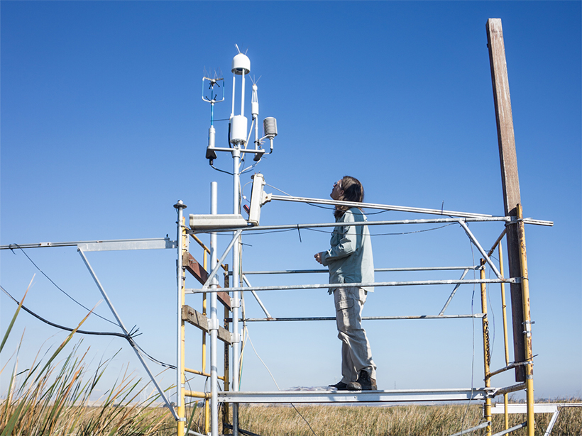
Massive Scale Evaporative Water Losses from Irrigation
Evaporation can demonstrate the effects of crop irrigation on decadal trends in evapotranspiration at a regional spatial extent.
Posted inResearch Spotlights
Restored Wetlands Could Lower Local Surface Temperatures
A 3-year study of wetlands and cropland in a major California delta highlights the need to consider the physical effects of vegetation when planning land use changes.

Posted inResearch Spotlights
California’s Water Savings Dwindle When Drought Fears Subside
Policy changes and media attention affect how much water Californians use, as well as how long these behaviors prevail. Could public awareness shift behaviors toward long-term conservation?

Posted inEditors' Highlights
What Will Redwood Trees Do Without Foggy Days?
Coastal California fog—a key source of water for the iconic redwood tree—has declined by a third. Can a trace gas, carbonyl sulfide, be used to assess the effect on plant productivity?
Posted inScience Updates
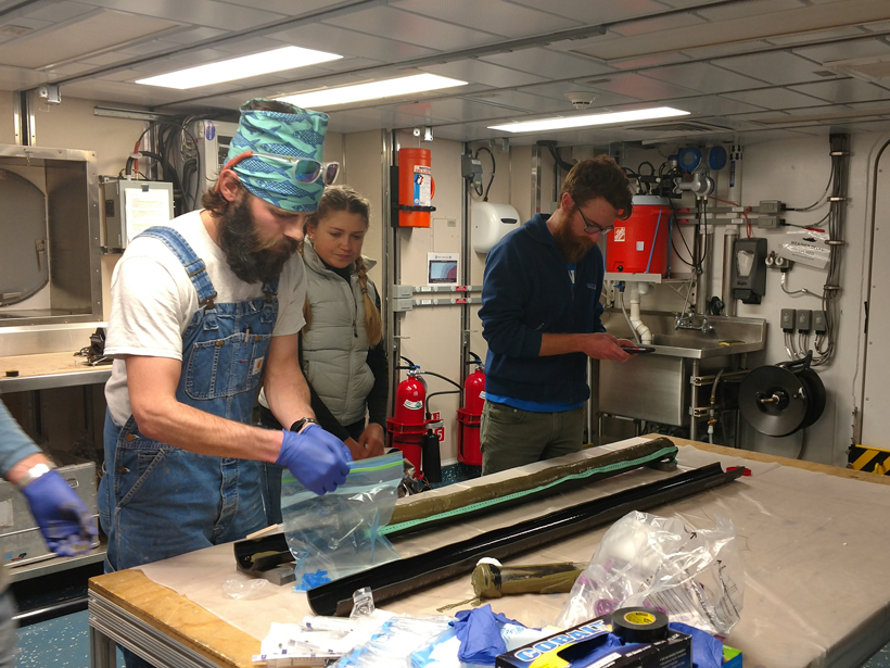
Exploring Methane Gas Seepage in the California Borderlands
Early-career scientists aboard the 2016 UNOLS Chief Scientist Training Cruise explored recently reactivated underwater methane seeps in the San Diego Trough.