Editors’ Highlights are summaries of recent papers by AGU’s journal editors.
Source: Journal of Geophysical Research: Earth Surface
Earth’s ice sheets are changing rapidly in response to anthropogenic climate change, and these changes are modulated by their basal topography. Visualizing the landscape that lies beneath the East Antarctic Ice Sheet not only allows glaciologists to improve model projections of future ice sheet change, but also provides a glimpse of a landscape hidden beneath ice.
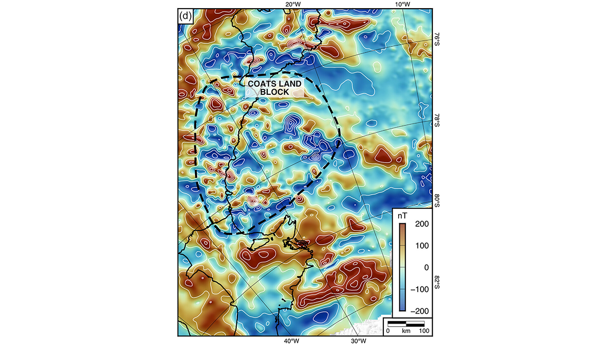
Paxman et al. [2026] used geophysical data and satellite imagery to explore the subglacial structure of Coats Land in East Antarctica. They discovered an ancient landscape shaped across several geological periods. A faulted landscape of troughs and escarpments was formed by tectonic extension during the breakup of the supercontinent Gondwana about 180 million years ago, then eroded by rivers for tens of millions of years to form a gently sloping coastal plain, before the formation of the current Antarctic Ice Sheet around 34 million years ago. Ice flow through this ancient ice sheet was steered by the bed topography and dramatically different to the current configuration.
Citation: Paxman, G. J. G., Jordan, T. A., Bentley, M. J., Small, D., Jamieson, S. S. R., & Steinhage, D. (2026). Subglacial topography of Coats Land records post-Gondwanan landscape evolution and early ice-sheet behavior in East Antarctica. Journal of Geophysical Research: Earth Surface, 131, e2025JF008590. https://doi.org/10.1029/2025JF008590
—Ann Rowan, Editor-in-Chief, JGR: Earth Surface