Workshop on Water and Environmental Global Challenges: International Water Infrastructures and Security; Miami, Florida, 23–25 May 2017
Climate Change

Posted inNews
Focus on Climate Solutions, Panelists Say
Time remains to prevent dangerous climate change if people take action now and don’t lose hope, climate experts said.

Posted inNews
Threatened Sea Turtles in Hawaii Losing Ground to Rising Oceans
By midcentury, the Hawaiian green sea turtle could lose nesting beaches of increasing importance on Oahu, the most populous island in the chain.
Posted inNews
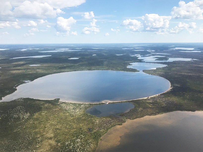
Airborne Surveys Examine Water Levels of Lakes Perched on Permafrost
Do water levels in high-latitude Canadian lakes fluctuate as one body or as separate entities? The answer could reveal clues to how melting permafrost influences the environment.
Posted inNews
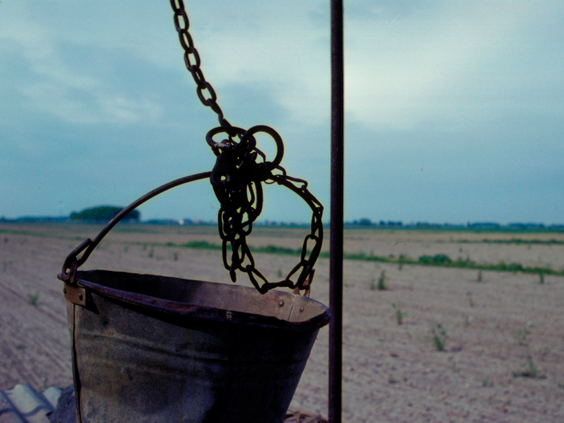
Southern Europe’s Groundwater Use Will Become Unsustainable
Even places without groundwater problems now will face water shortages by the 2040s if climate change continues on its current trajectory.
Posted inNews
Arctic Is Experiencing a Warmer “New Normal,” NOAA Reports
The acting head of the National Oceanic and Atmospheric Administration, Timothy Gallaudet, says the Trump administration is addressing the findings of the agency’s latest annual update on the Arctic.

Posted inNews
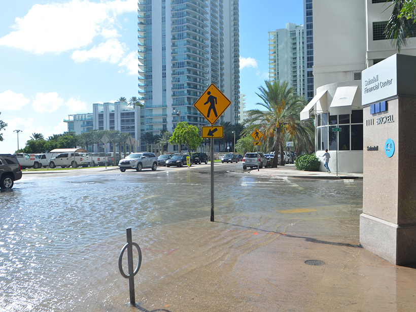
Sea Level Rise May Swamp Many Coastal U.S. Sewage Plants
Cities typically build wastewater treatment facilities in low-lying areas. A new national study identifies which plants are most vulnerable to coastal flooding.
Posted inNews
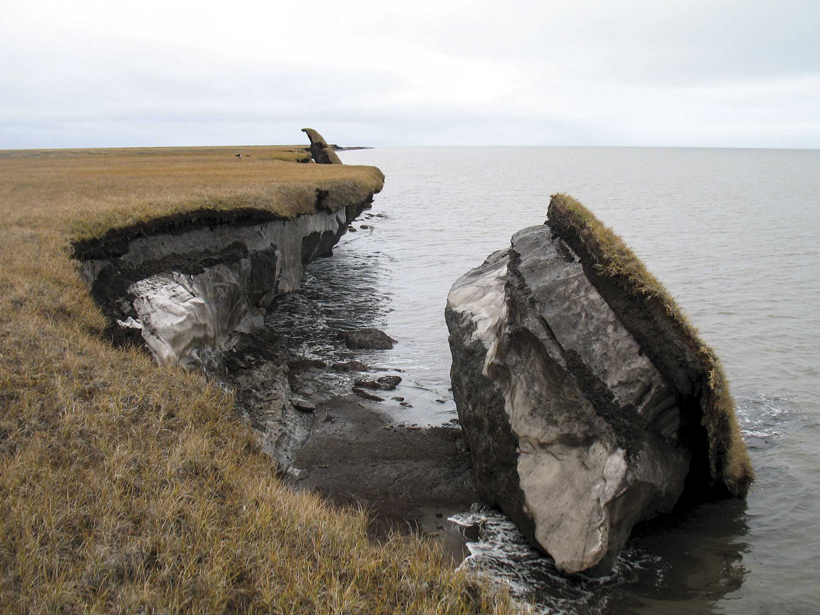
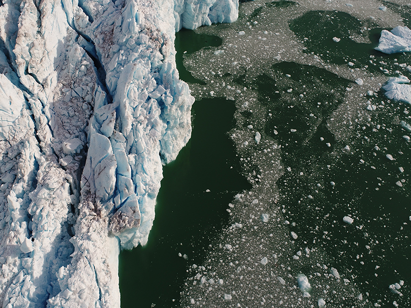
Science at the Border Between Ice and Ocean
A suite of instruments, including drones, remotely operated boats, and multibeam sonar, is helping scientists understand a little-studied area at the front of a calving glacier.
Posted inNews
Major Federal Tropical Research Project to Cease 7 Years Early
The Department of Energy shutters a project aimed at improving climate models less than halfway through the expected decade-long run.

Posted inResearch Spotlights
Reducing Errors in Satellite-Derived Arctic Sea Ice Thicknesses
Salty snow throws off satellite-based estimates of Arctic sea ice thickness by up to 25%. A new method seeks to fix that.