
Still, more than half of the seeds required for cloud droplets to form in both the present-day and preindustrial atmospheres are made by trace gases that condense to form minute aerosol particles.
Climate Change
Posted inNews
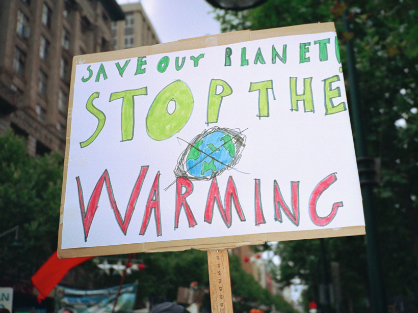
Experts Ponder Why Administration Released Tough Climate Report
Scientists and policy experts say the White House released the report, which differs from the administration’s stance, without political tampering to avoid potential further controversy.

Posted inFeatures
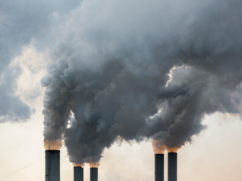
How Will Climate Change Affect the United States in Decades to Come?
A new U.S. government report shows that climate is changing and that human activities will lead to many more changes. These changes will affect sea levels, drought frequency, severe precipitation, and more.

Posted inOpinions
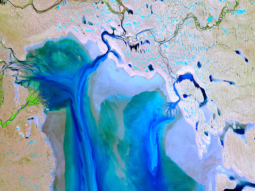
Monitoring Coastal Zone Changes from Space
The resilience of coastal communities depends on an integrated, worldwide coastal monitoring effort. Satellite observations provide valuable data on global to local scales.
Posted inNews
IPCC Chair Discusses Limiting Global Warming to 1.5°C
Several forthcoming reports by the Intergovernmental Panel on Climate Change examine what needs to be done to take control of our climate future.
Posted inScience Updates
Observing Life near the Ocean’s Surface with Satellites
Third International Ocean Colour Science (IOCS) Meeting; Lisbon, Portugal, 15–19 May 2017
Posted inEditors' Vox
Tropical Teleconnections
A recent article in Reviews of Geophysics explored how regional climate and weather is interconnected across space and time.

Posted inResearch Spotlights
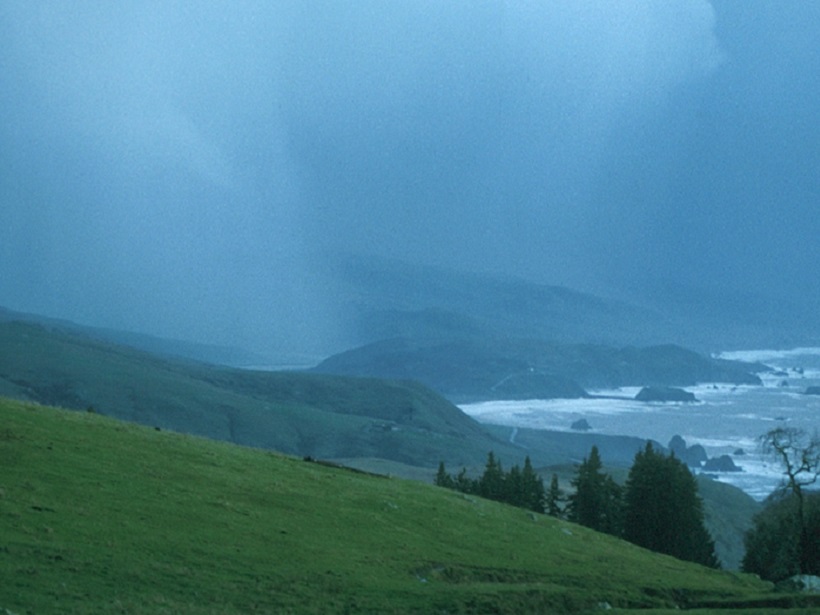
Ocean Showers Power the Global Electric Circuit
Satellite measurements confirm hundred-year-old observations collected by boat.
Posted inAGU News
Randerson Receives 2017 Piers J. Sellers Global Environmental Change Mid-Career Award
James Randerson is the inaugural honoree of the Piers J. Sellers Global Environmental Change Mid-Career Award of the American Geophysical Union’s Global Environmental Change focus group. He will receive the award at the 2017 AGU Fall Meeting, to be held 11–15 December in New Orleans, La. The award recognizes a scientist or team of midcareer scientists “for outstanding contributions in research, educational, or societal impacts in the area of global environmental change, especially through interdisciplinary approaches.”
Posted inAGU News
Neelin Receives 2017 Bert Bolin Global Environmental Change Award
J. David Neelin has been selected as the 2017 Bert Bolin awardee and lecturer of the American Geophysical Union’s Global Environmental Change focus group. He will receive the award and present this lecture at the 2017 AGU Fall Meeting, to be held 11–15 December in New Orleans, La. The award recognizes an Earth scientist for “groundbreaking research or/and leadership in global environmental change through cross-disciplinary, interdisciplinary, and transdisciplinary research in the past 10 years.”