
科学家们探讨了将整合的、连接的、开放的和网络化的研究战略应用于自然灾害研究的困难和机会。
disaster management
Posted inNews
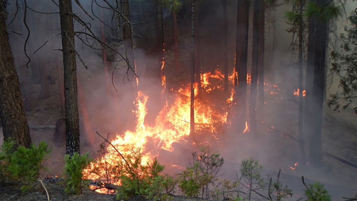
U.S. Fires Quadrupled in Size, Tripled in Frequency in 20 Years
Changes including intensifying drought, expansion into burnable land, and an increase in human-caused ignitions have led to a shift in fire patterns.
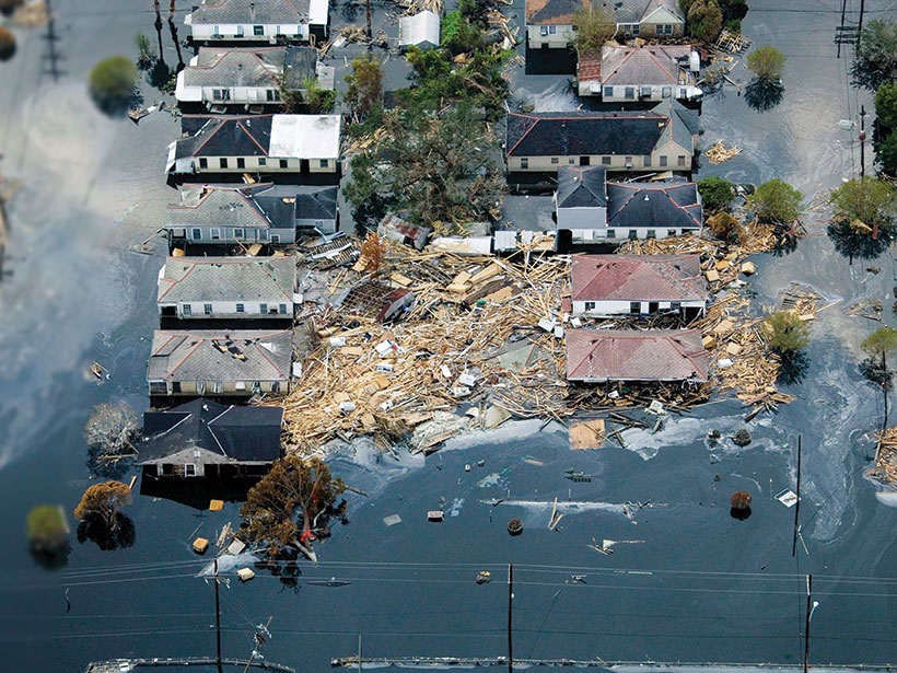
Posted inResearch Spotlights
ICON Principles Underused as a Natural Hazards Research Tool
Scientists identify barriers to and opportunities for applying integrated, connected, open, and networked research strategies to natural hazards studies.

Posted inEditors' Highlights
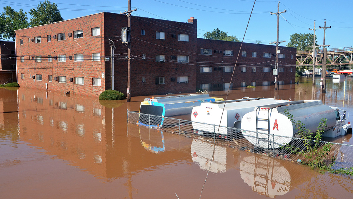
Pro-Poor Flood Risk Management Can Reduce Urban Inequality
Rich people’s aversion to flood risk results in poor people living in the most vulnerable locations poverty. Pro-poor flood risk management policies could have a significant impact on inequality.

Posted inEditors' Vox
Tools for Improved Drought and Flood Response
A new book presents recent advances in the modeling and remote sensing of droughts and floods of use to emergency response organizations and policy makers on a global scale.
Posted inScience Updates
Making the Most of Volcanic Eruption Responses
Last year, a new collaborative initiative conducted a hypothetical volcano response exercise. A month later, they put the knowledge gained to use during an actual eruption.

Posted inNews
Landslides Mar the “Pearl of Africa”
Behind Uganda’s lavish beauty, climate change has taken its toll: Death, destroyed properties, and displaced communities increase as above-normal rainfall floods the country.

Posted inAGU News
Building Equity into Hazards Research
In the March issue of Eos, we look at how scientists who study earthquakes, floods, and other hazards are factoring people into their models.
Posted inOpinions
Building Resilience in Rural America
People in rural communities are often hit disproportionately hard by natural hazards, largely because of in-equitable and inflexible risk reduction policies. But there are ways to change that.
Posted inScience Updates
Assessing Social Equity in Disasters
Natural hazard impacts and resources allocated for risk reduction and disaster recovery are often inequitably distributed. New research is developing and applying methods to measure these inequities.