
A recent paper in Reviews of Geophysics describes a probabilistic method for evaluating tsunami location, size, and risk to human populations.
disaster preparedness

Posted inNews
Hurricanes Expose Vulnerabilities in Puerto Rico Seismic Network
Could overreliance on cell networks to transmit data leave instruments in the dark after the next storm hits?

Posted inNews
Offshore Islands Might Not Shield Coastlines from Tsunami Waves
Rather than offering protection, islands sometimes cause increased wave run-up on shorelines, experiments in a wave laboratory suggest.

Posted inNews
New Model Predicts Lightning Strikes; Alert System to Follow
Data from thousands of past storms help guide a new forecast model that predicts where and when lightning may hit.
Posted inNews
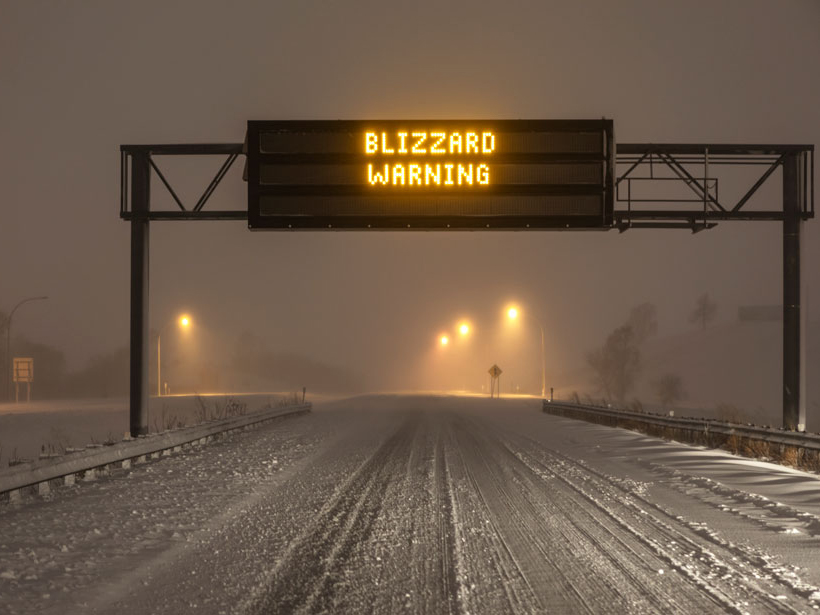
U.S. Weather Alert Systems Must Modernize, Say New Reports
To reduce risks, including loss of life, national weather alert systems must incorporate social and behavioral sciences and new technology, according to two federally sponsored reports.
Posted inResearch Spotlights
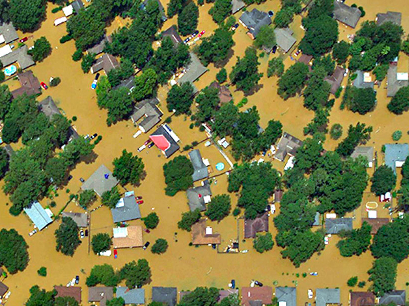
Deciphering Deluges
New modeling approach reexamines two key assumptions about flooding.

Posted inNews
Storm Model Foresaw Tornado Precursor Hours Before Twister Hit
The experimental Warn-on-Forecast project calculates probabilities of severe weather within at-risk areas smaller than those targeted by current forecasting models.

Posted inEditors' Vox
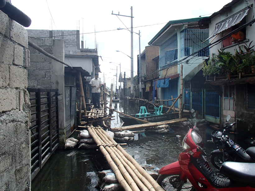
The Value of Disaster Damage Data
The editors of a new book describe the benefits of systematic collection, storage, analysis, and sharing of damage data after flood events.
Posted inNews
Mapping Dengue Fever Hazard with Machine Learning
Researchers develop a predictive software system to identify city-specific, dengue fever risk areas amid a global increase in cases.
Posted inEditors' Vox
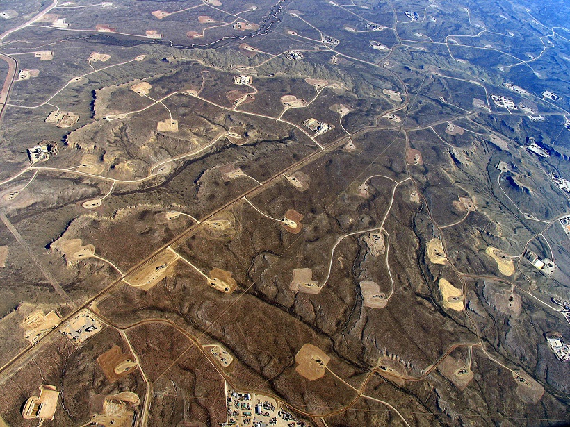
The Challenges Posed by Induced Seismicity
A recent paper in Reviews of Geophysics examined the increasing incidence of seismic events caused by industrial activities.