This year is still on track to be one of the hottest years on record around the globe.
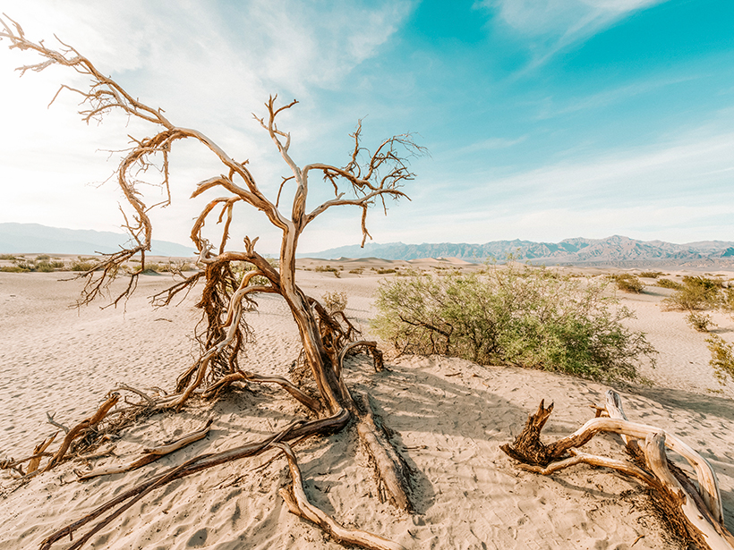
drought

Posted inEditors' Highlights
The Ocean-Land Connection of Droughts
Around 16 percent of large-scale droughts over land originate above the ocean and these types of droughts are more extensive and severe than droughts that originate over land.
Posted inNews
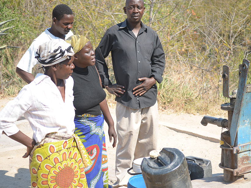
Groundwater Crisis in Zimbabwe Brought On by Droughts
Zimbabwe’s groundwater is disappearing fast, leaving rural communities without water for household and agricultural use.

Posted inNews
New Tool Quantifies and Predicts Snow Droughts
A new metric for calculating snow water equivalence relies on three methodologies: modeling, satellite imagery, and direct observation.

Posted inNews
Worsening Water Crisis in the Eastern Caribbean
Scientists, policy makers, and residents are concerned that ongoing water shortages and longer periods of drought may worsen as the climate changes and that the Paris Agreement has fallen short.
Posted inResearch Spotlights
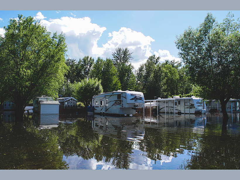
More Warming Means Worse Impacts from Runoff and Drought
New research highlights differences in drought and flood hazards globally under 1.5°C versus 2°C temperature increases and estimates associated human and economic effects.

Posted inNews
Predicting Fast Moving Flash Droughts
A cross-disciplinary consortium of scientists works to monitor droughts that develop in as little as 2 weeks—whose frequencies are predicted to increase with climate change.

Posted inNews
Megadrought Helped Topple the Assyrian Empire
Paleoclimate records shed light on the ancient civilization’s meteoric rise and catastrophic collapse.

Posted inNews
Five Environmental Consequences of Australia’s Fires
Australia’s road to recovery may be long: Here’s a developing list of how the fires are affecting glaciers, wildlife, water supplies, and global carbon emissions.
Posted inScience Updates
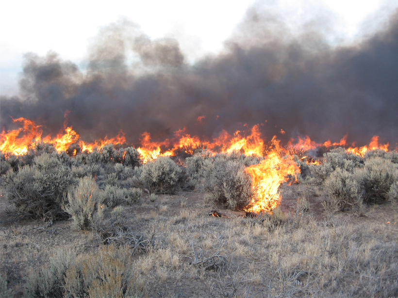
Rating Fire Danger from the Ground Up
Soil moisture information could improve assessments of wildfire probabilities and fuel conditions, resulting in better fire danger ratings.