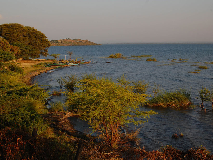
In the past, Lake Victoria dried out swiftly and often when rainfall was limited. Climate change might bring about those conditions again within a century.
drought
Posted inNews
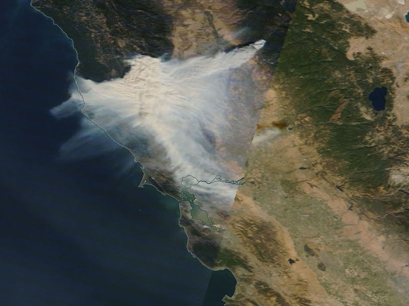
Iconic Palms Add to Fire Danger in Southern California
As fires burn across Southern California, researchers examine what role nonnative vegetation plays.
Posted inNews
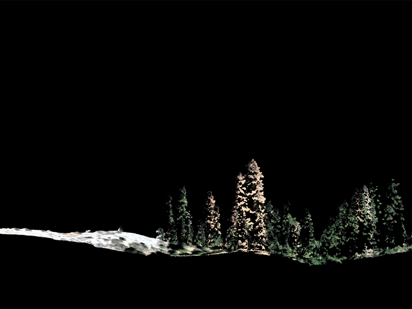
The Bigger They Are, the Harder They Fall
New research tracking 1.8 million trees found that tall trees died at more than twice the rate of smaller ones toward the end of extreme and persistent drought.
Posted inNews
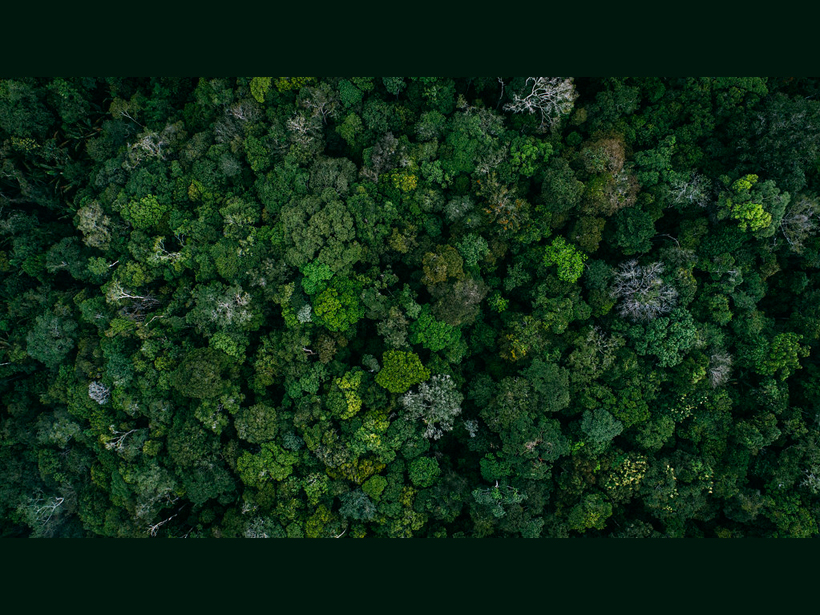
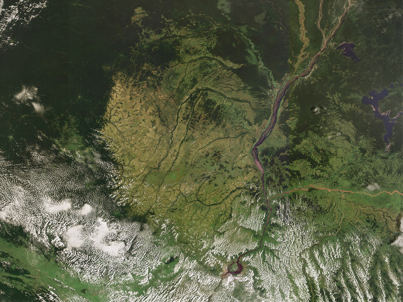
Deforestation Could Exacerbate Drought in the Amazon
Researchers use high-resolution satellite images to parse the effects of land use changes on the energy balance between the rain forest and the atmosphere.
Posted inNews
Congo Rain Forest Endures a Longer Dry Season
The forest’s dry season has been starting earlier and ending later for decades, making parts of it vulnerable to incursions by drought-resistant ecosystems.
Posted inScience Updates
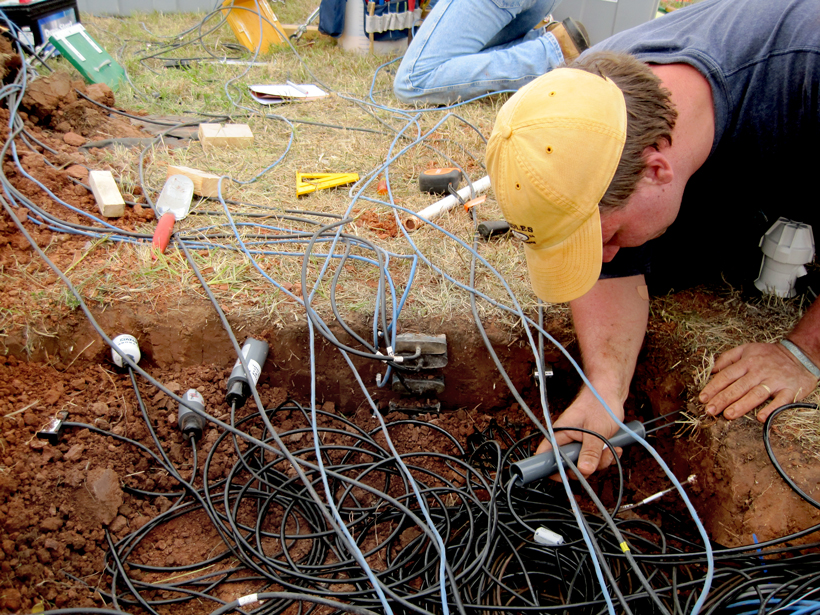
Building a One-Stop Shop for Soil Moisture Information
With a recent infusion of support from the federal government, the National Soil Moisture Network is moving ahead with its goal of integrating soil moisture data across the United States.
Posted inResearch Spotlights
Answer to California Landscape Riddle Lies Underground
Scientists link vegetation mosaics in California to patterns of weathered bedrock.
Posted inNews
Burning Fossil Fuels Worsens Drought
Tree rings help scientists trace the influence of greenhouse gas emissions on 20th-century drought conditions.
Posted inNews
New Eyes on Wildfires
Onboard machine learning and compact thermal imaging could turn satellites into real-time fire management tools to help officials on the ground.
Posted inResearch Spotlights
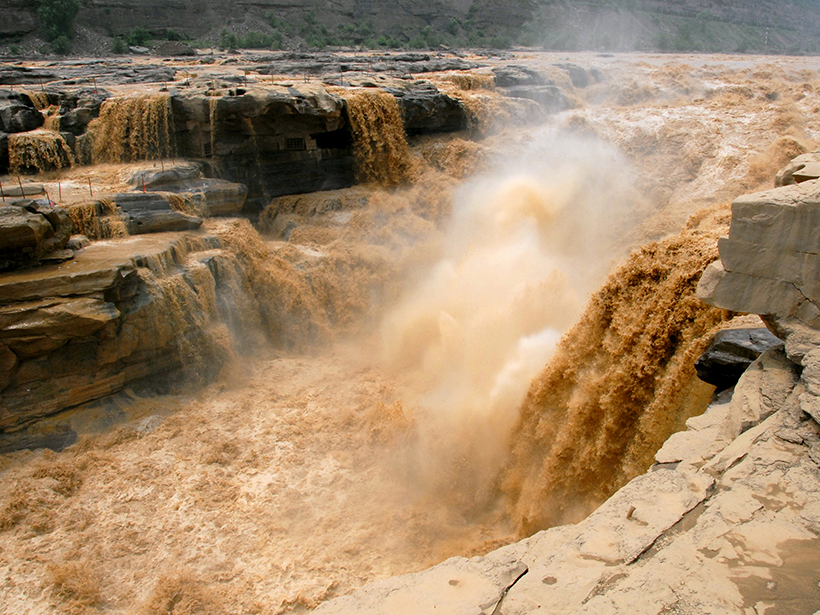
Through Flood and Drought: Reconstructing the Yellow River
Tree ring chronologies fill in gaps in the historical record and offer insights into the natural flow of China’s Yellow River.