
Geoscientists are using remote sensing to gather data on risks including increased exposure to air and soil pollution, excessive heat, wildfire, and flooding.
Earth science

Posted inNews
Ocean Vessels May Trigger Lightning Strikes
Previous research indicated aerosols in ship exhaust could enhance lightning. New research indicates the ships themselves may be to blame as well.

Posted inNews
Mammal Droppings Preserve Human and Climate History on the Tibetan Plateau
Geochemical signatures in sediment, which includes organic molecules from human and animal poop, help scientists track the rise and fall of the Tibetan Empire.

Posted inNews
A Philippine Island Detective Story
Researchers snorkeled, drilled, profiled, mapped, and interviewed to unlock clues to how an island was born.

Posted inNews
Sinking Cities and Rising Waters
Climate-driven sea level rise combines with land subsidence in some of Africa’s fastest-growing cities.
Posted inEditors' Vox
JGR: Machine Learning and Computation is Open for Submissions
The founding Editor-in-Chief discusses how AGU’s newest journal will capture critical advancements of the techniques moving scientific discovery forward.
Posted inNews
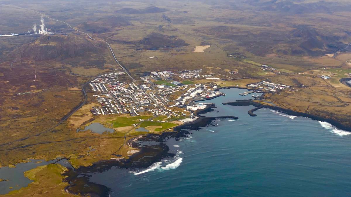
Eruption Now Unlikely Near Icelandic Town
Scientists and local authorities had been tracking the eruption’s precursors for weeks and evacuated residents. Then the magma stalled.

Posted inENGAGE, News
Local Fishers Help Uncover Coral Clinging to Underwater Cliffs
Their knowledge led to more accurate seafloor maps and a hidden trove of biodiversity in the Labrador Sea.


Posted inResearch Spotlights
Seafloor Shapes on the Flanks of Mid-Ocean Ridges Linked to Magma Supply
New research suggests the source of morphologic variation on mid-ocean ridges might be deeper than scientists thought.