
Achieving the UN Sustainable Development Goals may only be possible if human activities are central to critical zone science.
Earth’s Future

Posted inResearch Spotlights
Exploring Just How Extreme Future Storms Could Get
A novel approach to storm simulations could help prepare for increasingly heavy precipitation events.
Posted inResearch Spotlights
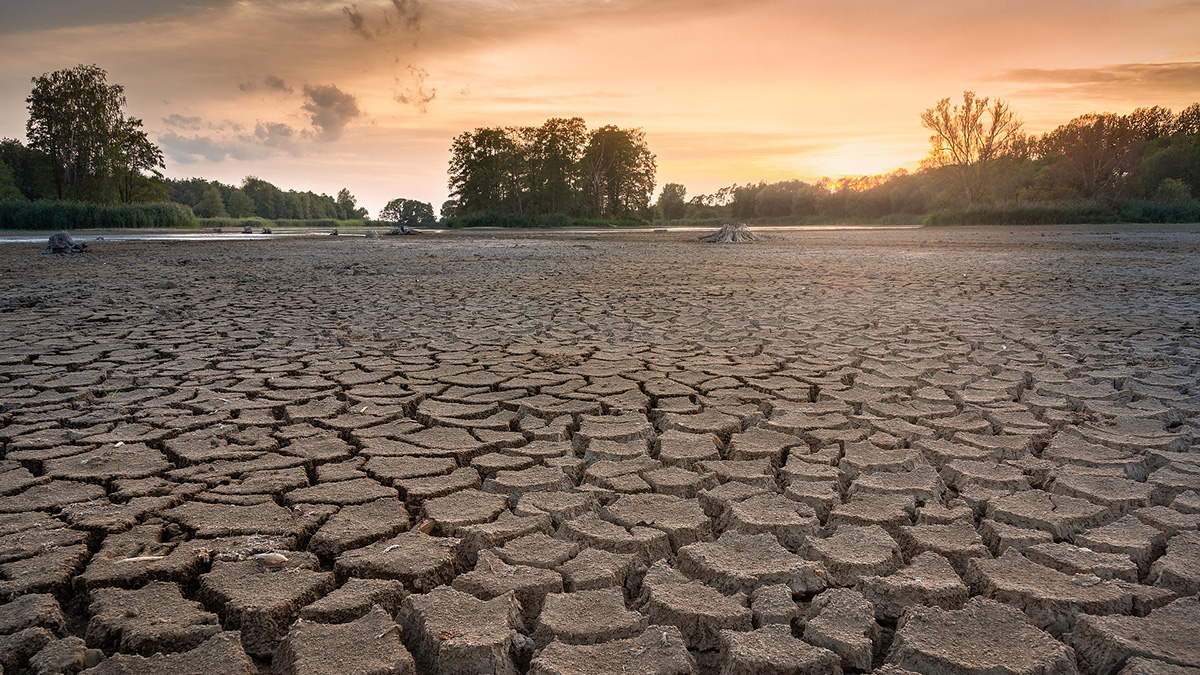
El cambio climático está secando a los suelos
Los suelos terrestres se están secando a medida que el planeta se calienta, pero aún no está claro que tan seco es muy seco.
Posted inEditors' Highlights
Gaps and Challenges in Coastal Adaptation Research
A new study reviews 650 empirical studies on coastal adaptation, revealing knowledge gaps on its implementation, policy, governance, and economic contexts, especially in the Global South.

Posted inEditors' Vox
The Art of Promoting Scientific Results
AGU has various avenues for promoting noteworthy research published in our journals and books, which increases visibility, downloads, and citations.


Posted inResearch Spotlights
Climate Change Is Drying Out Earth’s Soils
Earth’s land is drying as it warms, but it is not clear how dry is too dry.

Posted inResearch Spotlights
A Symbiosis Between Agriculture and Solar Power
A growing population requires more food and energy, which compete for limited space…unless they don’t.
Posted inEditors' Highlights, RTL
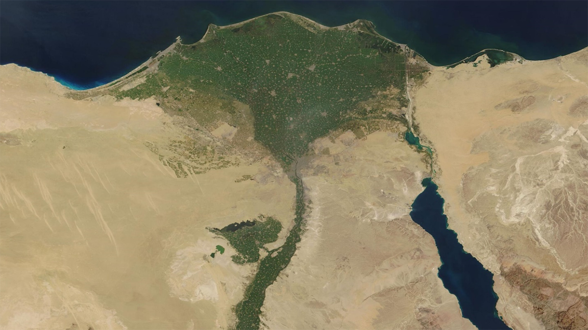
مراقبة تراكم الملوثات من المعادن الثقيلة في دلتا النيل
تُظهر نتائج تحاليل العينات أن إعادة استخدام مياه الصرف بدون معالجة والتوسع في إنشاء السدود يسبب زيادة تركيز المعادن الثقيلة الملوثة في دلتا النيل مما يهدد بشدة سلامة النظام البيئي والصحي والإنتاج الزراعي في مصر.

Posted inEditors' Highlights
Analyzing Sources of Pollution in the Great Lakes
Understanding how agriculture and land use affect nutrient flows and concentrations in the vast area of the Great Lakes is an essential step to developing sustainable management strategies.