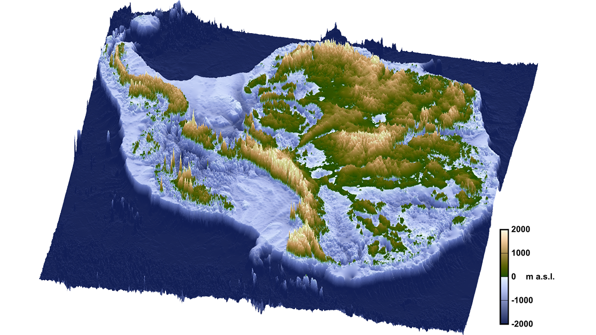
A rift event set off a domino effect of geologic processes that created conditions ripe for Antarctica’s glaciation, a new study suggests.
Earth’s interior
Posted inFeatures
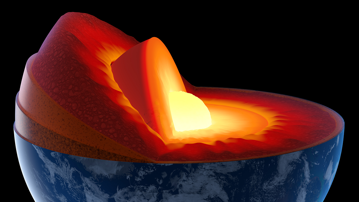
A Quiet Quantum Revolution in Earth’s Deep Interior
A subtle change in iron ions’ electronic configuration produces a measurable difference in seismic wave speeds through mantle rocks.
Posted inNews
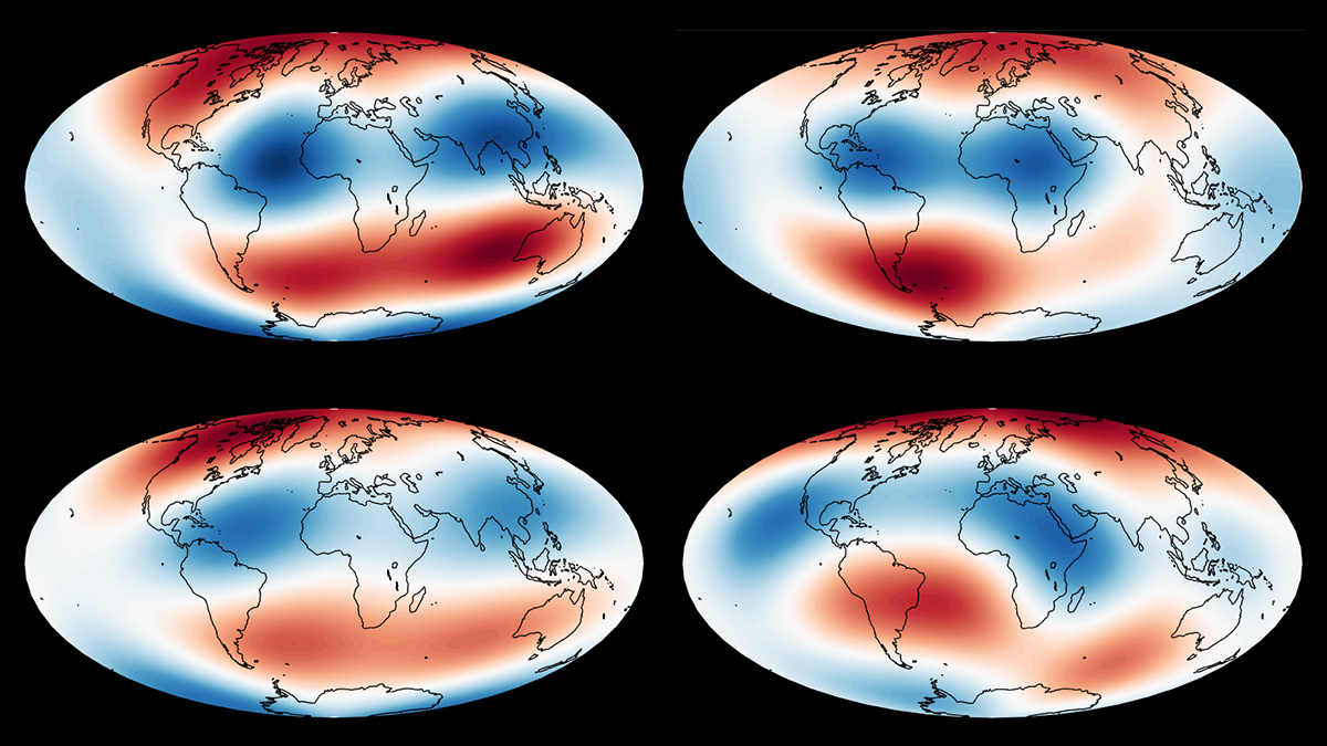
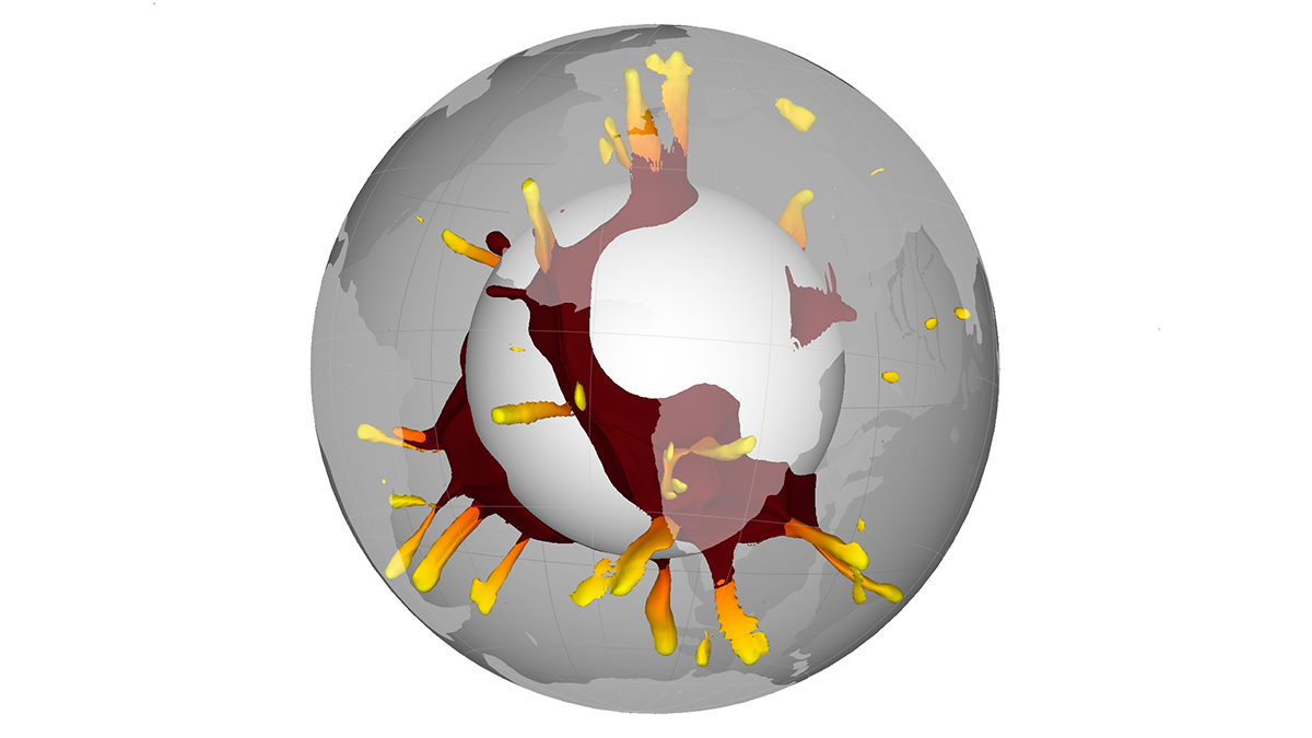
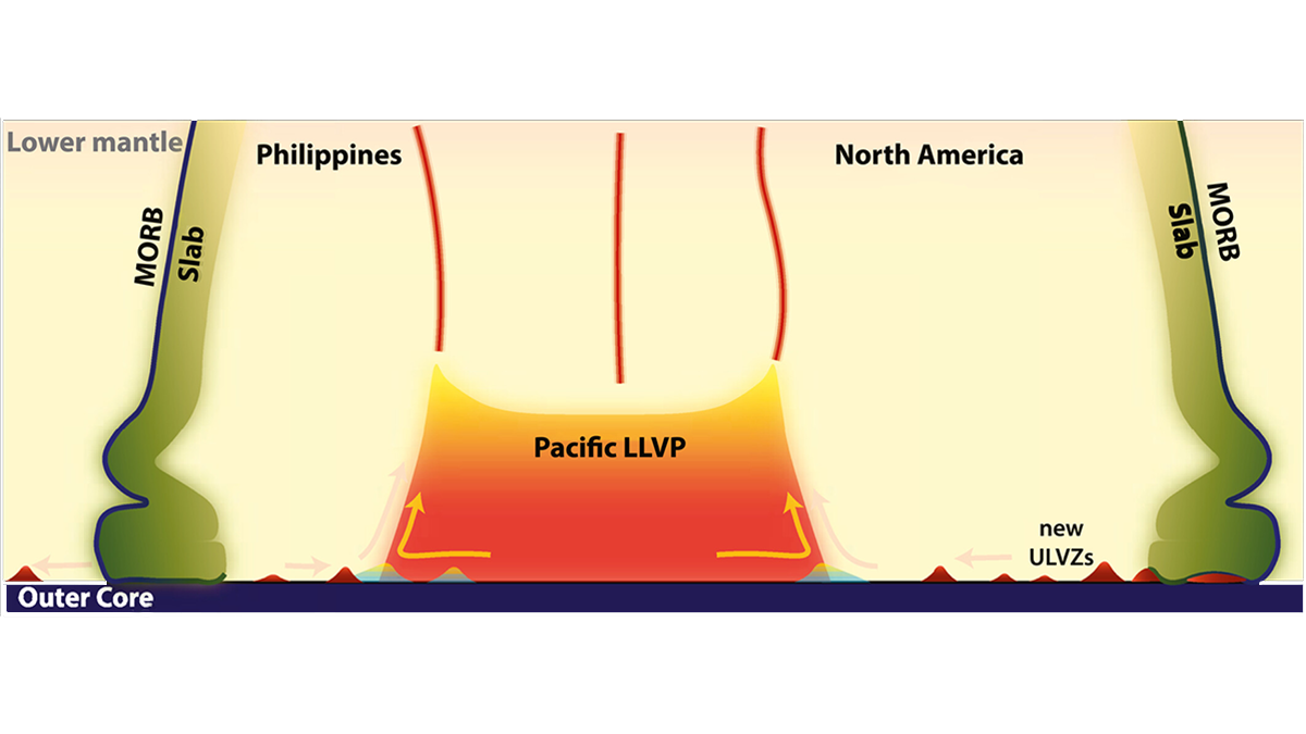
What do BLOBs Have to Do with Earth’s Magnetic Field? A Lot, It Turns Out
Enormous provinces of superheated mantle exert a powerful influence over our planet’s magnetic field, researchers have discovered.
Posted inResearch Spotlights
Seismic Anisotropy Reveals Deep-Mantle Dynamics
A new study offers insight into the viscous BLOBs at the base of Earth’s mantle.
Posted inNews
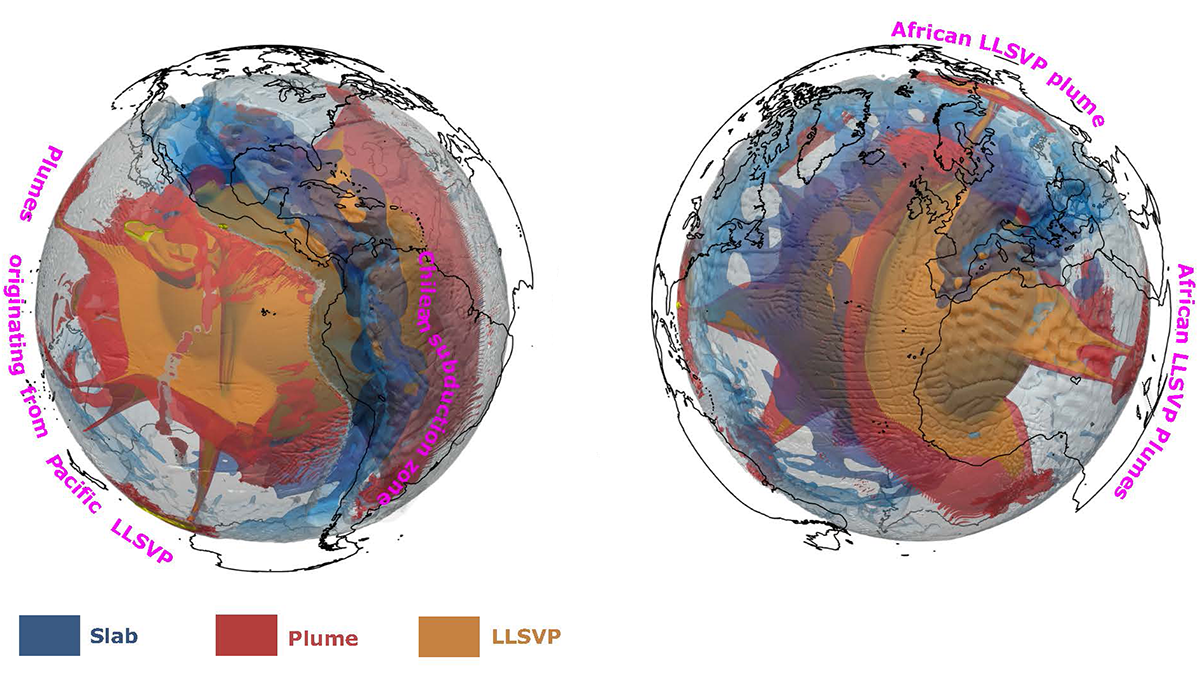
Blame It on the BLOBs
For decades, scientists have suspected that large volcanic eruptions have their origins in two mysterious massive regions at the base of our planet’s mantle. Now, it’s been statistically proven.
Posted inScience Updates
The Deep Frontier of Mantle Magma Supply
Compared with crustal magma systems, little is known about the deep sources of volcanic supply chains. Interdisciplinary efforts can help answer key questions about how magma migrates from the mantle.
Posted inNews
Scientists May Have Found Another Viscosity Shift in the Mantle
The proposed distinction could improve Earth models.
Posted inResearch Spotlights
High-Pressure Reactions Can Turn Nonporous Rocks into Sponges
Mathematical models describe how water moves through rocks in deep Earth.
Posted inEditors' Highlights
Crustal Melts at the Core-Mantle Boundary
Seismic waves get sent in all directions for deep mantle anomalies, and a new analysis shows where those scatters lie and what properties they have.
Posted inNews
Sedimentos radiactivos podrían haber construido los cratones de la Tierra
La meteorización de los primeros continentes podría haber puesto en marcha la formación de cratones, las raíces inmutables de los continentes.