• About
  • Special Reports
  • Topics
    • Climate
    • Earth Science
    • Oceans
    • Space & Planets
    • Health & Ecosystems
    • Culture & Policy
    • Education & Careers
    • Opinions
  • Projects
    • Postcards From the Field
    • ENGAGE
    • Editors’ Highlights
    • Editors’ Vox
    • Eos en Español
    • Eos 简体中文版
    • Print Archive: 2015–2025
  • Policy Tracker
  • Blogs
    • Research & Developments
    • The Landslide Blog
  • Newsletter
  • Submit to Eos
  • AGU.org
  • Career Center
  • Join AGU
  • Give to AGU
  • About
  • Special Reports
  • Topics
    • Climate
    • Earth Science
    • Oceans
    • Space & Planets
    • Health & Ecosystems
    • Culture & Policy
    • Education & Careers
    • Opinions
  • Projects
    • Postcards From the Field
    • ENGAGE
    • Editors’ Highlights
    • Editors’ Vox
    • Eos en Español
    • Eos 简体中文版
    • Print Archive: 2015–2025
  • Policy Tracker
  • Blogs
    • Research & Developments
    • The Landslide Blog
  • Newsletter
  • Submit to Eos
Skip to content
  • AGU.org
  • Career Center
  • Join AGU
  • Give to AGU
Eos

Eos

Science News by AGU

Support Eos
Sign Up for Newsletter
  • About
  • Special Reports
  • Topics
    • Climate
    • Earth Science
    • Oceans
    • Space & Planets
    • Health & Ecosystems
    • Culture & Policy
    • Education & Careers
    • Opinions
  • Projects
    • Postcards From the Field
    • ENGAGE
    • Editors’ Highlights
    • Editors’ Vox
    • Eos en Español
    • Eos 简体中文版
    • Print Archive: 2015–2025
  • Policy Tracker
  • Blogs
    • Research & Developments
    • The Landslide Blog
  • Newsletter
  • Submit to Eos

Ecuador

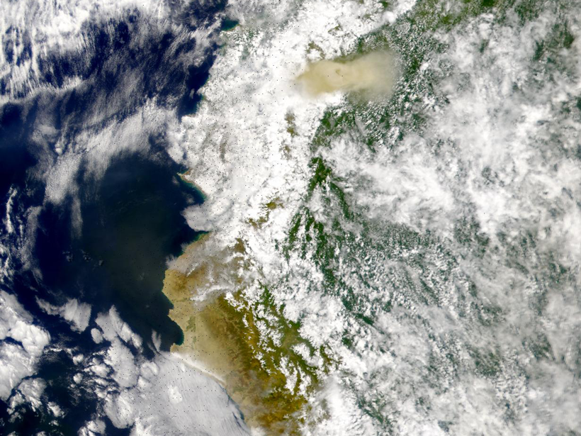
Researchers use radar satellite imagery to measure changes in the topography of Ecuador’s El Reventador volcano
Posted inResearch Spotlights

Using Radar to Understand How Volcanic Eruptions Evolve

by Terri Cook 5 January 201827 October 2021

Radar satellite imagery can be used to measure constructional changes in the topography of long-lived volcanoes, according to a new study of Ecuador’s El Reventador volcano.

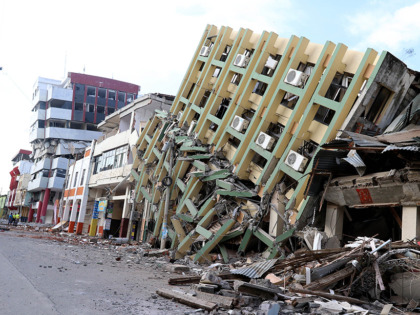
A large earthquake devastated parts of coastal northern Ecuador in April 2016.
Posted inResearch Spotlights

A New View of the Plate Dynamics Behind Earthquakes in Ecuador

Sarah Stanley, Science Writer by Sarah Stanley 2 June 20162 May 2022

Scientists get one step closer to an updated seismic hazard map that could help Ecuador prepare for future tremors.
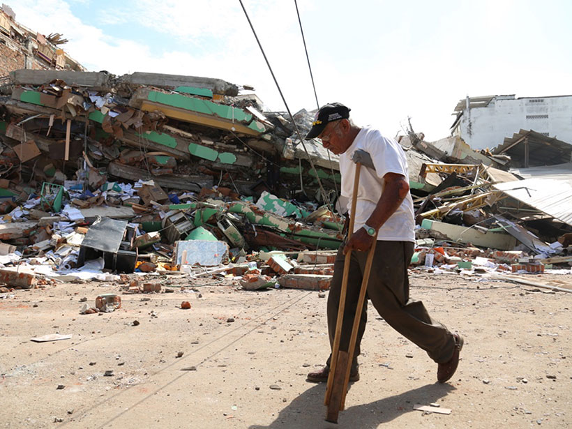
Portoviejo, Ecuador, was one of the hardest-hit cities from Saturday’s 7.8 magnitude earthquake.
Posted inNews

Ecuador Earthquake Kills Hundreds, Injures Thousands

JoAnna Wendel, freelance science writer and illustrator by JoAnna Wendel 18 April 20162 May 2022

Ecuador's president declared a state of emergency after a large earthquake shook the country.

Posts pagination

Newer posts 1 2
Over a dark blue-green square appear the words Special Report: The State of the Science 1 Year On.

Features from AGU Publications

Research Spotlights

Extreme Heat May Drive Asthma Risk in Baltimore, Especially at Night

12 August 202612 August 2026
Editors' Highlights

How Fluid Mixing due to Kelvin-Helmholtz Instabilities Really Works

13 August 202613 August 2026
Editors' Vox

Introducing Research Letters in Paleoceanography and Paleoclimatology

12 August 202610 August 2026
Eos logo at left; AGU logo at right

About Eos
ENGAGE
Awards
Contact

Advertise
Submit
Career Center
Sitemap

© 2026 American Geophysical Union. All rights reserved Powered by Newspack