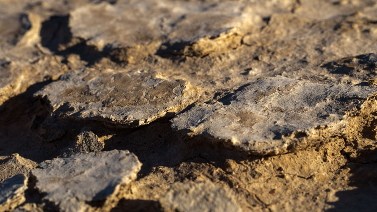
Results of in situ experiments on natural microbial communities suggest that biological crusts can protect soils from erosion, but their protective role could be compromised under predicted future climate scenarios.
erosion & weathering
Posted inNews
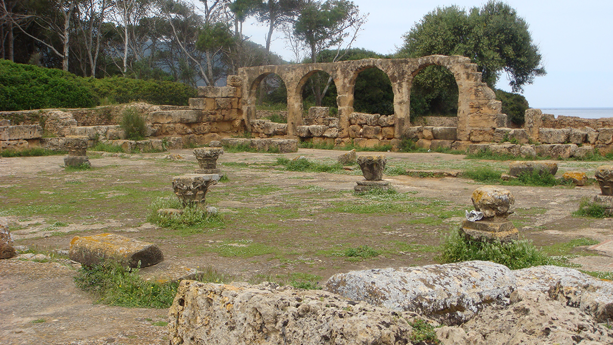
African World Heritage Sites Jeopardized by Rising Seas
Worsening flooding and erosion threaten places of “outstanding universal value” along the continent’s coastlines.
Posted inResearch Spotlights
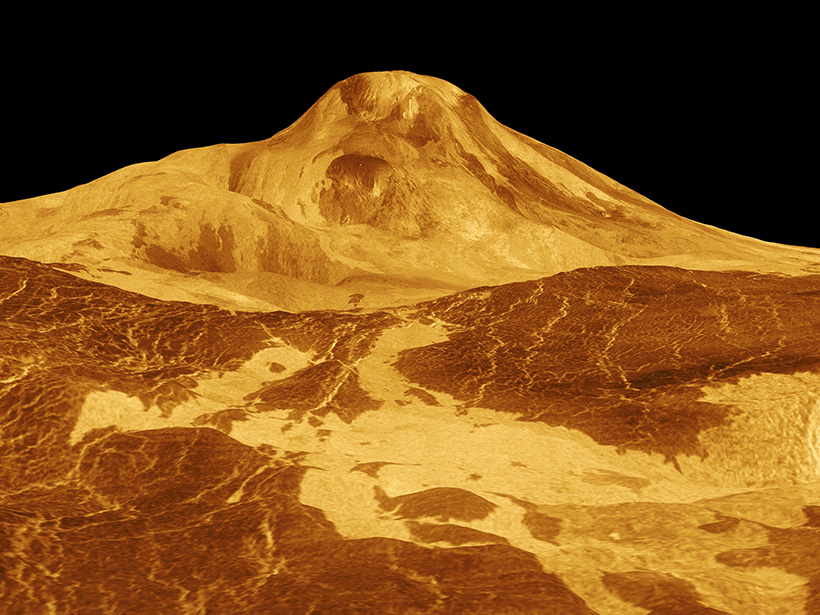
¿Es Venus volcánicamente activo? Nuevo enfoque podría proporcionar una respuesta
Una estrategia que combina la cartografía geológica con datos sobre cómo la superficie del planeta emite y absorbe la radiación de microondas podría potencialmente identificar flujos de lava recientes.
Posted inENGAGE, News
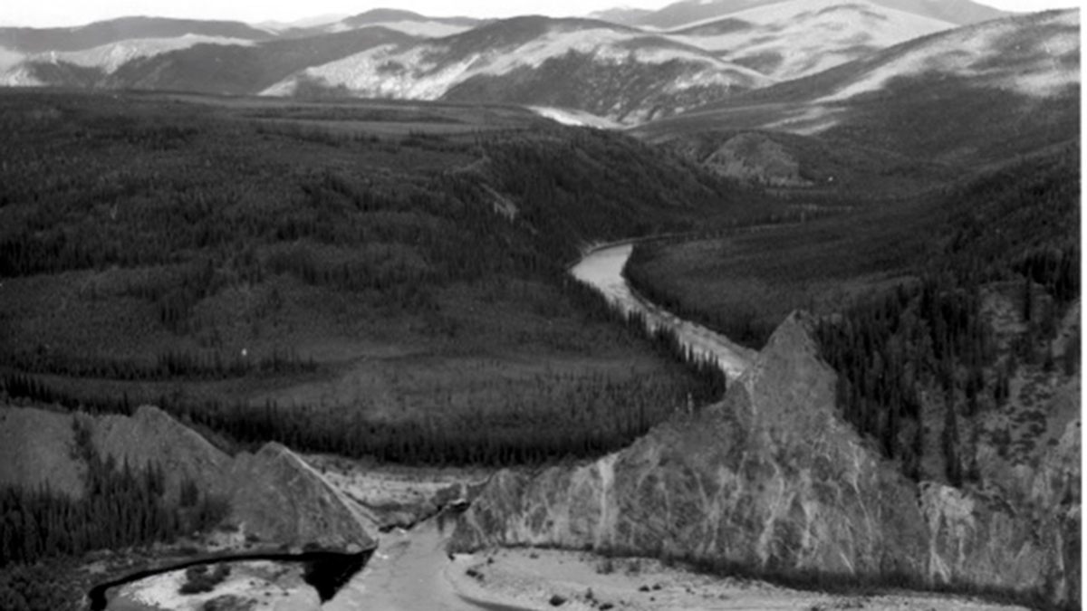
What a Gold Mining Mishap Taught Us About Rivers
Miners in Alaska rerouted a river to search for gold. One hundred years later, the new channel is teaching scientists how rivers shape Earth.
Posted inNews
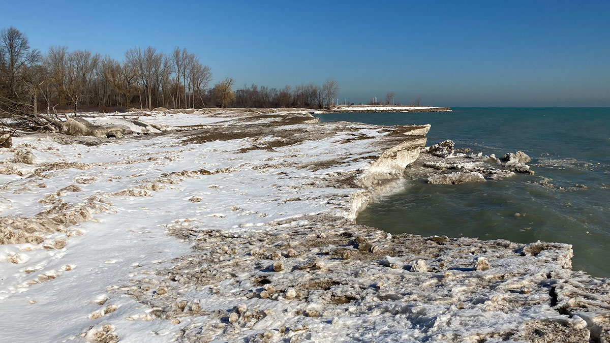
Drones and Crowdsourced Science Aid Great Lakes Data Collection
Important data collection can aid coastal monitoring and management.

Posted inResearch Spotlights
New Theory Connects Tree Uprooting and Sediment Movement
Tree throw from extreme wind events plays an important role in the movement of sediment and erosion on forested hillslopes. A new theory offers a novel way to measure its impact.
Posted inEditors' Highlights
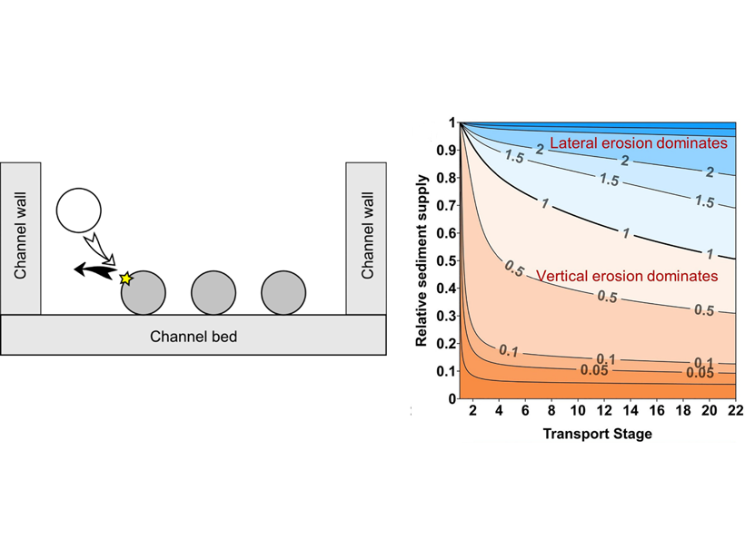
Impacts by Moving Gravel Cause River Channels to Widen or Narrow
A new analytical model describes how the amount and grain size of sediment transported by rivers influences bedrock channel width, which can be used to predict where rivers will widen or narrow.
Posted inEditors' Highlights
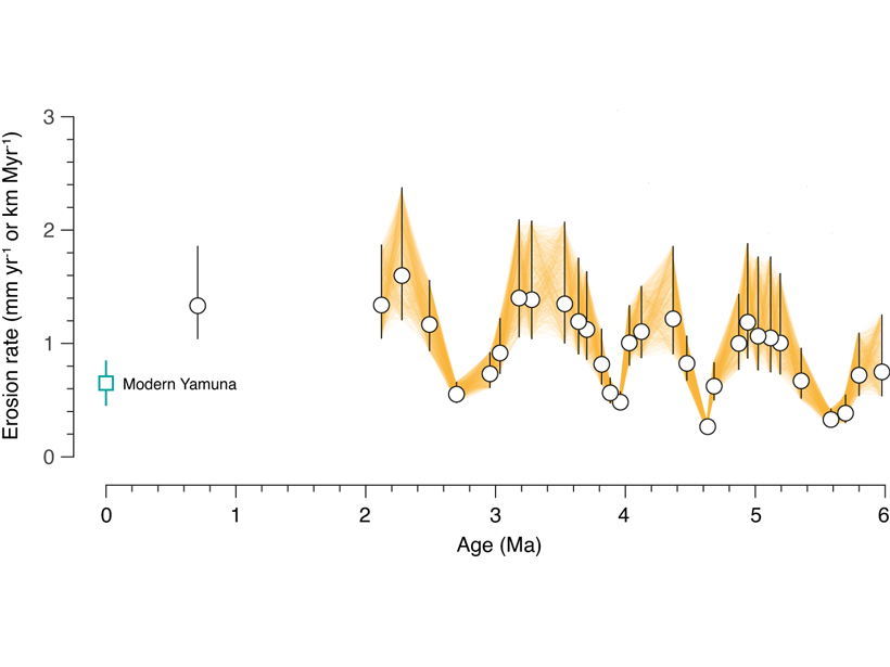
Himalayan Tectonics in the Driver’s Seat, Not Climate?
Earth’s oscillating climate is a natural guess to explain cyclic patterns in erosion, but new sediment data suggests that cyclicity may emerge from tectonic processes adding material to the Himalaya.

Posted inResearch Spotlights
Is Venus Volcanically Active? New Approach Could Provide an Answer
A strategy that combines geologic mapping with data on how the planet’s surface emits and absorbs microwave radiation could potentially identify recent lava flows.

Posted inNews
Megaripples on Mars—How to Name Wind-Shaped Features on the Red Planet
New research suggests a more settled terminology for Martian aeolian landforms based on size and geomorphology.