
Improvements in our ability to forecast oceanic conditions weeks to months in advance will help communities, industries, and other groups prepare amid a changing climate.
floods

Posted inScience Updates
Tree Rings Reveal a 700-Year Record of Flooding in Bangladesh
Trees tell of a wetter past along the Brahmaputra River and, combined with climate modeling, suggest heightened future flood risks in one of the world’s most densely populated areas.

Posted inENGAGE, News
For Venice’s Floodgates to Work, Better Forecasts Are Needed
Climate change increases massive storm surges, which may be more than Venice’s flood-control system can handle.

Posted inEditors' Vox
Tools for Improved Drought and Flood Response
A new book presents recent advances in the modeling and remote sensing of droughts and floods of use to emergency response organizations and policy makers on a global scale.
Posted inENGAGE, News
When Rivers Are Contaminated, Floods Are Only the First Problem
As floods increase in frequency and intensity, chemicals buried in river sediments become “ticking time bombs” waiting to activate.
Posted inEditors' Highlights
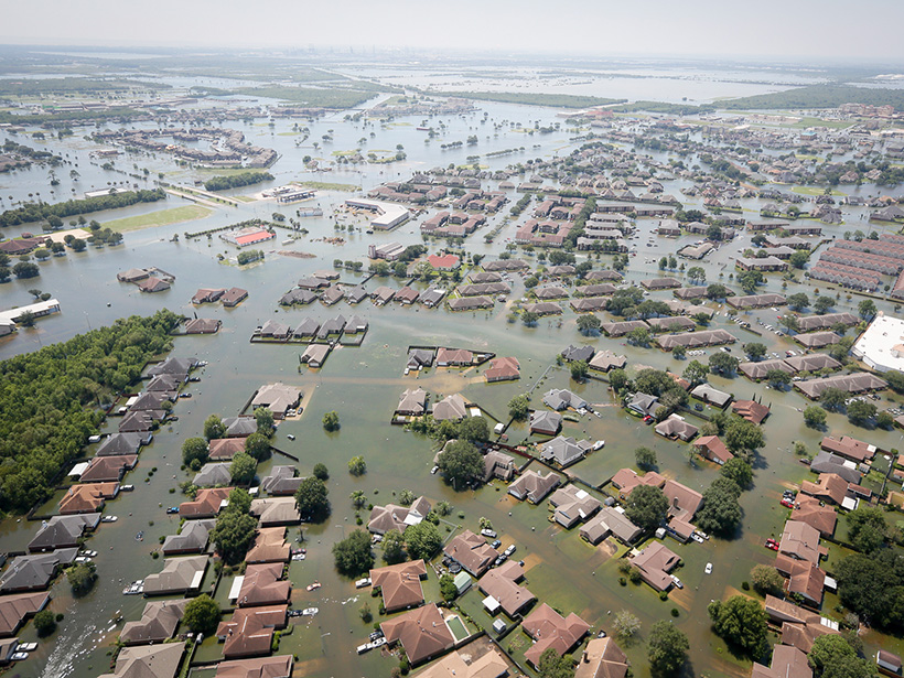
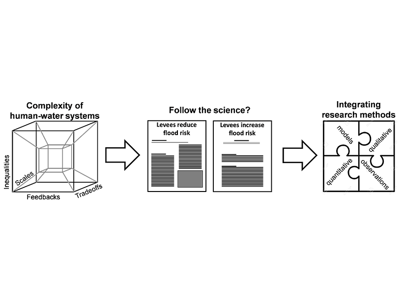
Need for Rational Thinking for Predicting Floods and Droughts
To plan policies that manage flood and drought risk, is it sufficient to follow the science? The better path uses the best science, which draws insight from integrated multidisciplinary research.
Posted inNews
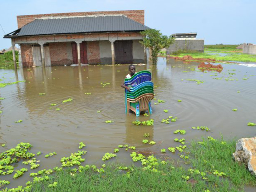
Soil Saturation Dictates Africa’s Flood Severity
The most complete hydrological data set for the African continent reveals a surprise: Soil moisture, not heavy precipitation, best explains the timing of Africa’s most severe floods.

Posted inFeatures
Better Subseasonal-to-Seasonal Forecasts for Water Management
Emerging methods that improve precipitation forecasting over weeks to months could support more informed resource management and increase lead times for responding to droughts and floods.

Posted inNews
Indian Cities Prepare for Floods with Predictive Technology
The number and intensity of floods are increasing—they can inundate neighborhoods in Chennai in just 15 minutes. New models can pinpoint and help warn vulnerable areas hours or even days in advance.
Posted inNews
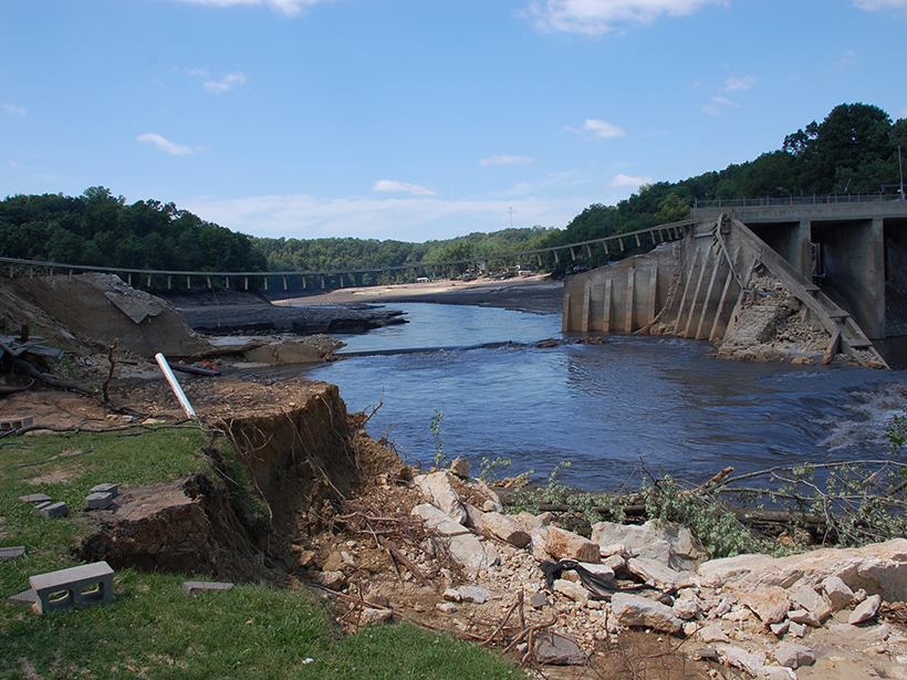
Below Aging U.S. Dams, a Potential Toxic Calamity
Documents suggest that in more than 80 U.S. locations, the failure of an aging dam could flood a major toxic waste site.