
The GeoClaw model is used to simulate a landslide-dam outburst flood through rugged Himalayan topography.
floods
Posted inResearch Spotlights
As Sea Levels Rise, Expect More Floods
A new study unveils the increasing exposure of coastal communities to minor and extreme floods as sea levels rise.
Posted inResearch Spotlights
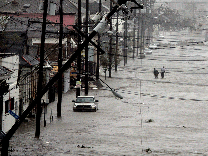
Calculating the Risk of Rare Floods
The first spatially realistic catalog of synthetic flood event risk across the entire United States uncovers high-risk areas and estimates the probability of another Katrina–level flood loss.

Posted inResearch Spotlights
If Precipitation Extremes Are Increasing, Why Aren’t Floods?
Improving our understanding of the relationship between changes in precipitation and flooding due to rising temperature is a new grand challenge for the scientific community, argue the authors of a recent commentary.
Posted inResearch Spotlights
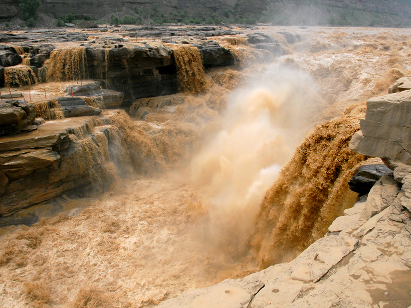
Through Flood and Drought: Reconstructing the Yellow River
Tree ring chronologies fill in gaps in the historical record and offer insights into the natural flow of China’s Yellow River.
Posted inFeatures
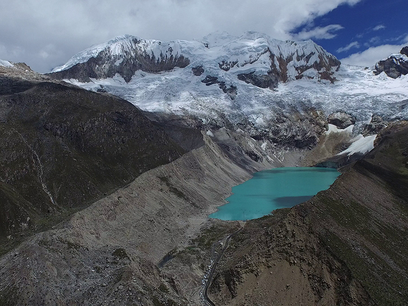
The Dangers of Glacial Lake Floods: Pioneering and Capitulation
During the past 70 years, Peruvian engineers virtually eliminated the risks posed by glacial lake floods. But climate change and a political blind eye are increasing the dangers once again.
Posted inAGU News
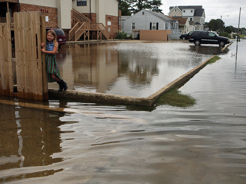
Grassroots Group Commended for Work on Flooding by Virginia House
Stop the Flooding NOW was founded by Virginia Beach residents who wanted to take action to address the chronic flooding in their community.

Posted inNews
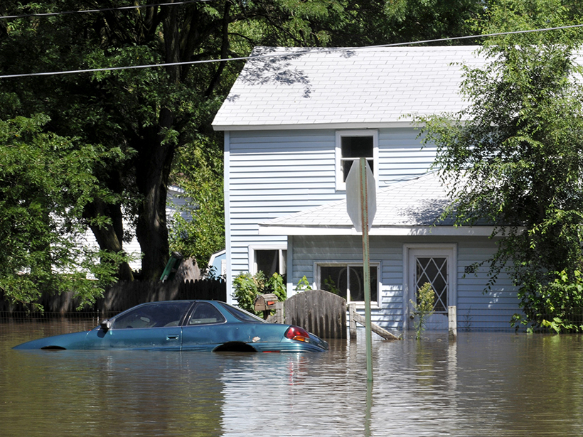
Brief, Repetitive Floods in Coastal Cities Cause Economic Losses
A case study in Annapolis is one of the first assessments of the effects of high-tide flooding on local revenue.
Posted inScience Updates
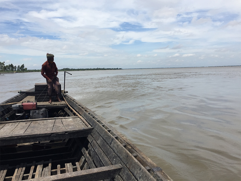
When Floods Cross Borders, Satellite Data Can Help
With so many eyes in the sky, residents living downstream from dams now have many ways to see—and prepare for—potential dangers.
Posted inResearch Spotlights
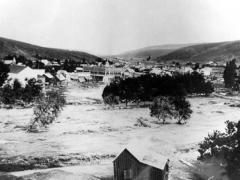
The Meteorological Culprits Behind Strange and Deadly Floods
A new study examines how unusual meteorology interacted with topography and other local conditions to generate some of the most devastating floods in American history.