
A more precise definition could help cities and governments prepare and respond to hazards.
floods

Posted inScience Updates
How Much Land Surface Is Under Water at Any Given Time?
NASA Workshop on Remote Sensing of Inundation Extent; Boulder, Colorado, 21–22 May 2018
Posted inEditors' Vox
Seeing Surface Water From Space
Satellite-based optical sensors can detect, measure and monitor changes in lakes, reservoirs, rivers and wetlands, providing useful data with multiple applications for science and society.

Posted inEditors' Vox
The Challenges of Global Flood Hazard Mapping and Prediction
A new book presents the latest tools in remote sensing technologies and modeling approaches for addressing challenges and meeting future needs in global flood hazard mapping and prediction.

Posted inFeatures
When Environmental Forces Collide
Multiple factors often interact to amplify the effects of severe storms, droughts, and other extreme water-related events.
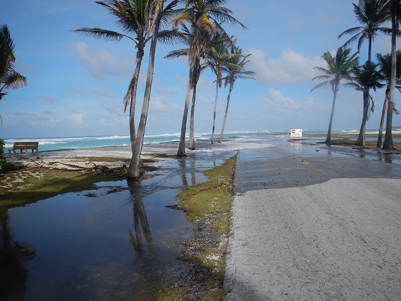
Posted inScience Updates
Challenges of Forecasting Flooding on Coral Reef–Lined Coasts
Understanding Flooding on Reef-lined Island Coasts Workshop; Honolulu, Hawaii, 5–7 February 2018

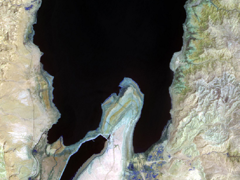
Posted inNews
Satellite Data Archives Reveal Unrecorded Himalayan Floods
Almost 30 years’ worth of Landsat observations created a comprehensive inventory of catastrophic floods caused by glacial lakes bursting through their rock dams.
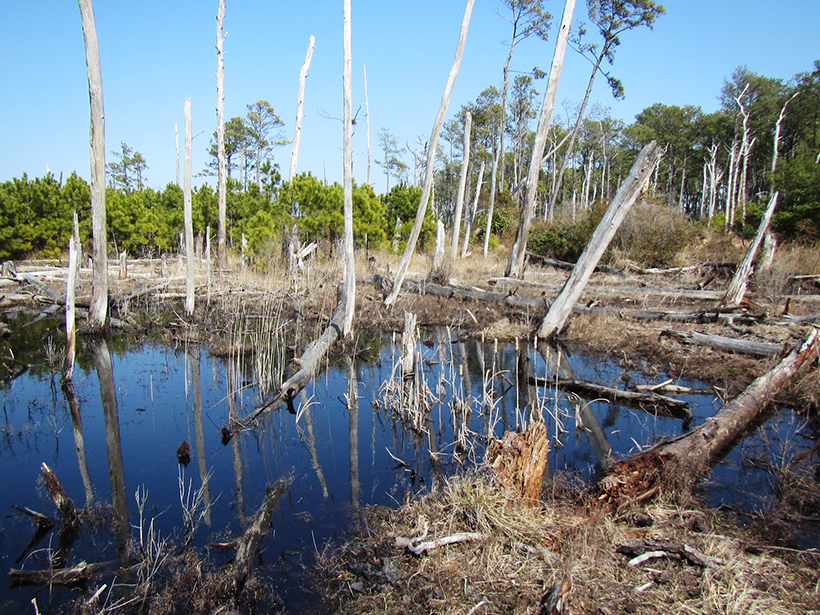
Posted inResearch Spotlights
Impact of Hurricanes and Nor’easters on Coastal Forests
Scientists trace severe storms’ effects through tree ring growth patterns.
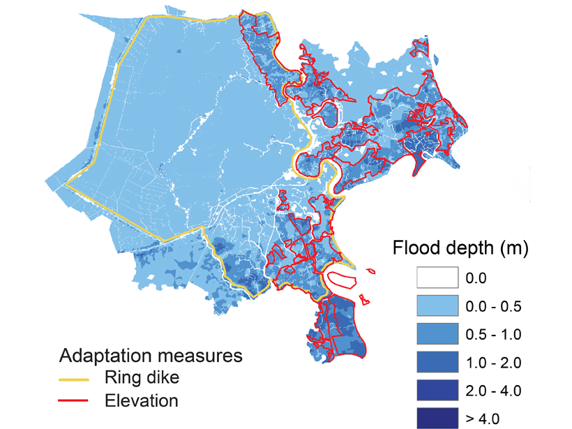
Posted inEditors' Highlights
A City’s Challenge of Dealing with Sea Level Rise
A well-developed case study in Ho-Chi Min City, Vietnam, exemplifies how other mega-cities located on deltas could face the major challenge of adapting to rising sea-level.

Posted inResearch Spotlights
What Causes Flash Floods in the Middle East?
Researchers zero in on the large-scale meteorological processes driving extreme precipitation events in the hot, arid desert region.