A new algorithm incorporates randomness into stream channel formation and suggests the approach represents regions with variable flood magnitudes better than standard models.
floods
Posted inFeatures
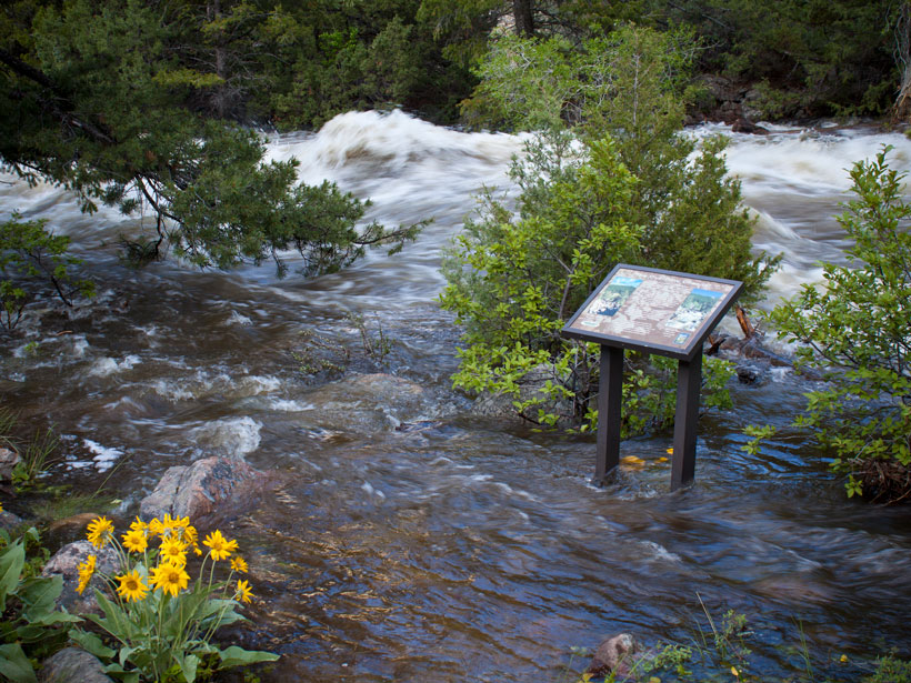
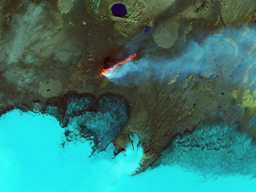
Earth’s Devastating Power, Seen by Satellite
Hurricanes, volcanoes, droughts, floods, fires, tsunamis: Satellites capture some of Earth’s most destructive forces.

Posted inScience Updates
The Push Toward Local Flood Risk Assessment at a Global Scale
Flood Risk Workshop; Boulder, Colorado, 1–3 October 2018

Posted inScience Updates
Bridging the Gap Between Sustainability and Disaster Management
IGCS Summer School 2018 on Coastal and River Hazards & Management Strategies; Aachen, Germany, 14–25 July 2018
Posted inFeatures
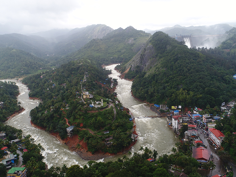
Making Sense of Landslide Danger After Kerala’s Floods
Scientists traveled to Kerala, a state in India recently devastated by severe monsoon rains. They found a vulnerable population that will soon face fresh landslide risks as a new monsoon approaches.

Posted inNews
Glacial Lake Outburst Flood Captured in Seismic Recordings
A flood that thundered through eastern Nepal in July 2016 left a telltale seismic signature and caused more erosion than local monsoon rains, new research shows.

Posted inOpinions
Millions More Americans Face Flood Risks Than Previously Thought
A different modeling approach fills large gaps in the U.S. government’s flood risk estimates, revealing previously overlooked at-risk areas often surrounding small flood-prone streams.

Posted inScience Updates
Lightning: A New Essential Climate Variable
Lightning is a symptom and a cause of climate change. A recently established task team is working to make lightning data available and useful for climate science and service applications.

Posted inNews
Massive Ocean Waves May Play a Role in Nuisance Flooding
When huge planetary waves that spawn in the open ocean reach land, they can raise local sea levels along the coast. Could tracking these waves help scientists predict flooding months in advance?

Posted inScience Updates
How Landslides Become Disasters
A new modeling platform, tested on two recent natural disasters, simulates conditions that dump landslide debris into rain-swollen rivers, often causing more damage than the landslides themselves.