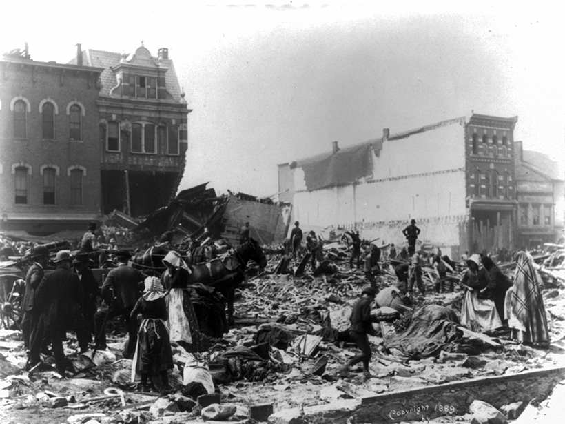
How a dam failure near a small town in Pennsylvania continues to cast a shadow over the region more than 100 years later.
floods
Posted inResearch Spotlights
Sea Level Science Grapples with Uncertainty and Usability
Improved transdisciplinary approaches are needed to ensure that research on rising seas is useful for planning in coastal communities.

Posted inEditors' Highlights
Future Remote Sensing Mission Holds Promise for Flood Monitoring
The 2021 Surface Water and Ocean Topography (SWOT) mission will measure water surface elevation, slopes, and inundations of rivers as narrow as 50 meters.
Posted inNews
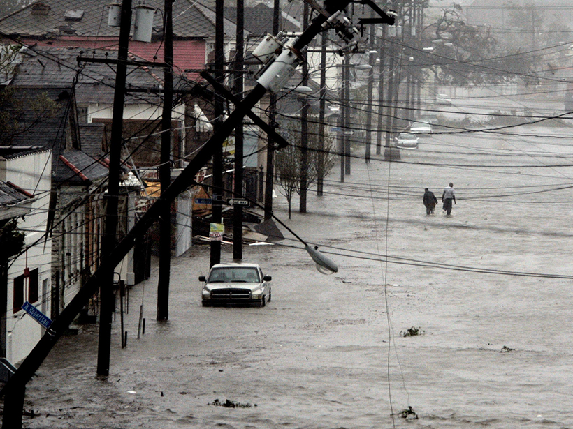
Equity Concerns Raised in Federal Flood Property Buyouts
The communities most in need of federal property buyouts after a flood are the communities least likely to get them.
Posted inAGU News
AGU Releases Report to Address Flooding in Communities
The Surging Waters report shows how science empowers us to mitigate the impacts on people and property in communities around the United States.
Posted inNews
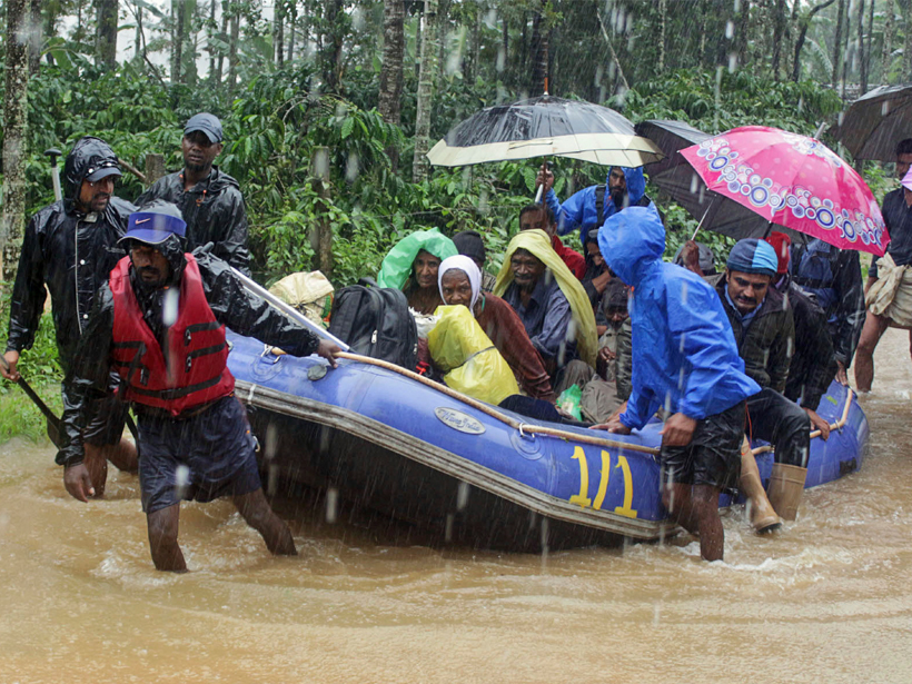
Devastating Floods Hit India for the Second Year in a Row
The deadly floods raise questions of land use and extreme precipitation trends.
Posted inNews
Bringing Climate Projections Down to Size for Water Managers
Hydrologists are creating watershed-scale projections for water resources managers and tools that managers can use to plan for the effects of climate change.
Posted inNews
Historic Solutions to Sea Level Rise May Help Modern Communities
Earthen mounds helped ancient Dutch settlers thrive in coastal flood zones. Could historical engineering help us fight against rising seas?

Posted inEditors' Highlights
Enabling Dynamic, Regional-Scale Modelling of Outburst Floods
The GeoClaw model is used to simulate a landslide-dam outburst flood through rugged Himalayan topography.
Posted inResearch Spotlights
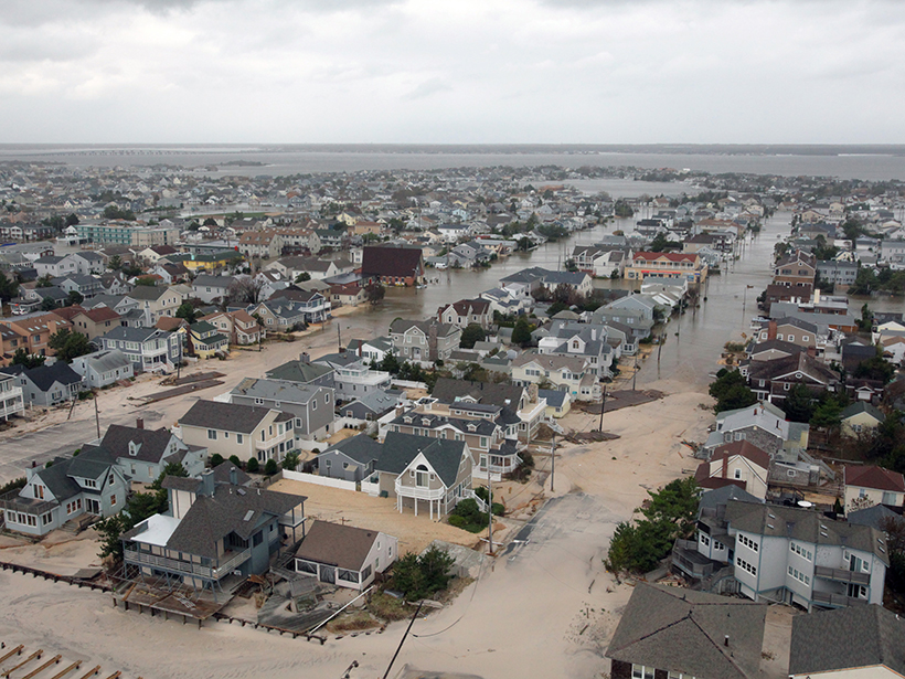
As Sea Levels Rise, Expect More Floods
A new study unveils the increasing exposure of coastal communities to minor and extreme floods as sea levels rise.