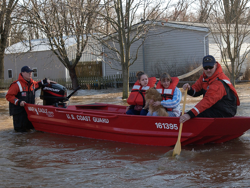
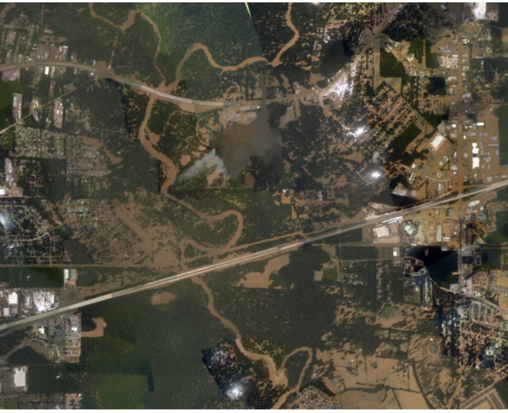
Over the past decade, floods all around the world have been of exceptionally high magnitude. Rainfalls have set new records and caused unprecedented damage in many countries, including China, India, Malawi, northern England, Thailand, the Philippines, and the United States. Areas in the United States that have been especially hard hit include the East Coast, the Midwest, the Southwest, Mississippi, Virginia, West Virginia, and Louisiana. These events cover spatial scales well beyond what we have seen in the past, and they frequently surpass traditional regional disaster response capabilities.
Such events have demonstrated the need to develop a rapid global response to enable relief teams, decision makers, local agencies, and international organizations to deal swiftly with successive big events and deliver relevant geospatial data and flood imagery when and where they are needed.
Many organizations, including space agencies such as NASA, already have ongoing missions, programs, initiatives, and research funding to provide flood-monitoring and response services, as well as image and computer simulation products, during an event. But with the proliferation of information, it is difficult to coordinate systems during a single event, let alone multiple simultaneous events or successive large events. Also, each of those systems provides a unique capability, and so coordination is necessary.
With the proliferation of information, it is difficult to coordinate flood watch systems during a single event, let alone multiple simultaneous events or successive large events.
The NASA Applied Sciences Disasters Program held a flood response workshop in June 2016 in Greenbelt, Md., that brought together lead people from NASA’s flood expert pool and emergency managers from national and international organizations to discuss and formalize a coordinated domestic and global response to flood disasters. The workshop participants—more than 70 total—included people from government agencies, academia, nongovernmental organizations, development and aid organizations, and the private sector who have a common interest in U.S.-wide and global flood response.
The workshop enabled a unique and successful dialogue among Earth observation (EO) mission technology and science experts, capacity-building officials, and the flood response community, with the goals of meeting user needs and fostering better coordination in flood disaster response worldwide.

In a series of invited talks, decision makers from federal agencies, state emergency departments, and the humanitarian aid sector presented the types of EO products, if any, that they currently use in their flood response operations. In many cases, such products are either not easily understood or not specifically designed for the purpose, and often, they are not accessible in a timely manner.
A new “community of practice” will set out to improve Earth observation data and products to better assist flood disaster response.
The workshop addressed current EO system capabilities and limitations and focused on ways to deliver integrated and operation-tailored solutions for decision making. The various flood response communities involved put together a “wish list” at the end of the workshop (Table 1) that identifies the immediate challenges to be addressed by EO research investigators, scientists, and product developers as a first step.
| Table 1. Top Priorities for the Flood Response Community | ||||
| Emergency Management | Monitoring and Observing | Mapping and Modeling | Product Dissemination and Distribution | Capacity Building and End User Engagement |
| Push data and products out in 12- to 24-hour intervals, within capabilities (ask for assistance with resources as needed and manage expectations) | One-stop shop (should also include future acquisitions), where communities can pull rather than push data and products | Automated polygon generation of flood disaster location to target Earth observation data acquisition and products, especially at the international level | Single access point (one-stop shop) that allows automated product delivery system | Build trust in the products and report value to community: one-stop shop needs to have products that are tailored to user needs and allow for feedback |
The outcomes of the workshop will inform a near-term action plan to set up a new “community of practice,” which will set out to improve EO data and products over the next 1–3 years for better assisting flood disaster response.
—Guy J.-P. Schumann, Remote Sensing Solutions, Inc., Monrovia, Calif.; and School of Geographical Sciences, University of Bristol, Bristol, U.K.; email: [email protected]
Citation:
Schumann, G. J.-P. (2016), Flood response using Earth observation data and products, Eos, 97, https://doi.org/10.1029/2016EO060741. Published on 12 October 2016.
Text © 2016. The authors. CC BY-NC-ND 3.0
Except where otherwise noted, images are subject to copyright. Any reuse without express permission from the copyright owner is prohibited.