
A laboratory study assesses thermochemical remanence as a reliable paleointensity recorder, which could open new venues for studying Earth’s ancient magnetic field.
geology
Posted inNews
Ancient Precipitation Reveals Clues About Mountains and Climate
By studying the chemical signatures of 300-million-year-old precipitation, researchers find evidence that the supercontinent Pangea contained peaks as tall as the European Alps.

Posted inNews
Will Cigarette Butts Be Our Environmental Legacy?
People litter them by the trillions—but how long will butts last through the ages?
Posted inNews
Paleontologists Peer Inside Billion-Year-Old Cells
Scientists have discovered the fossilized remains of Precambrian cells extraordinarily preserved with the rare earth element phosphates monazite and xenotime.
Posted inResearch Spotlights
An Integrated History of the Australian-Antarctic Basin
The first basin-wide compilation of seismic and geologic data shows that both margins experienced similar sedimentation patterns prior to the onset of Antarctic glaciation.

Posted inNews
The Search for the Impact That Cratered Ancient Scotland
Great Britain’s largest impact crater likely lies in the Scottish Highlands. Scientists dispute whether it’s to the west or the east.

Posted inFeatures
Resurrecting Interest in a “Dead” Planet
New research suggests that the surface of Venus is busy, but it may take new missions to our “sibling” planet to confirm this.
Posted inNews
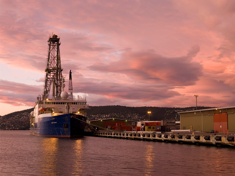
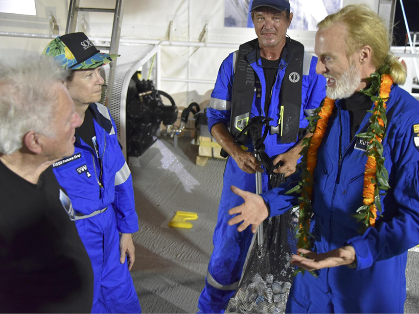
Limiting Factor Was a Science Opportunity for a Deep-Sea Geologist
For Mariana Trench expert Patricia Fryer, an extreme explorer’s record-setting dive was a chance to retrieve some of the deepest samples ever collected.

Posted inEditors' Vox
Cascading Down the Mountain
Earthquakes in mountain ranges produce a cascade of geological disturbances and hazards, from enormous landslides to climate change.

Posted inResearch Spotlights
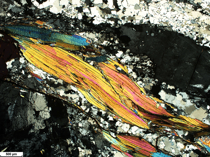
Paleomagnetism Indicators May Be Flawed
A new study finds that magnetism in volcanic ash tuff forms through varied processes, calling into question previously reliable signatures used to study variations in Earth’s magnetic field.