• About
  • Special Reports
  • Topics
    • Climate
    • Earth Science
    • Oceans
    • Space & Planets
    • Health & Ecosystems
    • Culture & Policy
    • Education & Careers
    • Opinions
  • Projects
    • Postcards From the Field
    • ENGAGE
    • Editors’ Highlights
    • Editors’ Vox
    • Eos en Español
    • Eos 简体中文版
    • Print Archive: 2015–2025
  • Policy Tracker
  • Blogs
    • Research & Developments
    • The Landslide Blog
  • Newsletter
  • Submit to Eos
  • AGU.org
  • Career Center
  • Join AGU
  • Give to AGU
  • About
  • Special Reports
  • Topics
    • Climate
    • Earth Science
    • Oceans
    • Space & Planets
    • Health & Ecosystems
    • Culture & Policy
    • Education & Careers
    • Opinions
  • Projects
    • Postcards From the Field
    • ENGAGE
    • Editors’ Highlights
    • Editors’ Vox
    • Eos en Español
    • Eos 简体中文版
    • Print Archive: 2015–2025
  • Policy Tracker
  • Blogs
    • Research & Developments
    • The Landslide Blog
  • Newsletter
  • Submit to Eos
Skip to content
  • AGU.org
  • Career Center
  • Join AGU
  • Give to AGU
Eos

Eos

Science News by AGU

Support Eos
Sign Up for Newsletter
  • About
  • Special Reports
  • Topics
    • Climate
    • Earth Science
    • Oceans
    • Space & Planets
    • Health & Ecosystems
    • Culture & Policy
    • Education & Careers
    • Opinions
  • Projects
    • Postcards From the Field
    • ENGAGE
    • Editors’ Highlights
    • Editors’ Vox
    • Eos en Español
    • Eos 简体中文版
    • Print Archive: 2015–2025
  • Policy Tracker
  • Blogs
    • Research & Developments
    • The Landslide Blog
  • Newsletter
  • Submit to Eos

geology

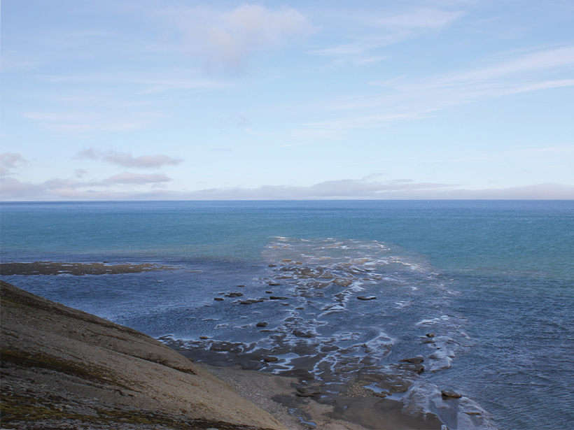
A delta channel from a large ancient delta extends into the Barents Sea
Posted inNews

Largest Delta Plain in Earth’s History Discovered in Arctic

Kimberly M. S. Cartier, News Writing and Production Intern for Eos.org by Kimberly M. S. Cartier 1 April 201919 September 2023

If this Triassic period delta existed today, its footprint would equal about 1% of all land on Earth.

Quill volcano Sint Eustatius Island
Posted inScience Updates

Project VoiLA: Volatile Recycling in the Lesser Antilles

by S. Goes, J. Collier, J. Blundy, J. Davidson, N. Harmon, T. Henstock, J. M. Kendall, C. Macpherson, A. Rietbrock, K. Rychert, J. Prytulak, J. van Hunen, J. J. Wilkinson and M. Wilson 14 March 201927 January 2023

Deep water cycle studies have largely focused on subduction of lithosphere formed at fast spreading ridges. However, oceanic plates are more likely to become hydrated as spreading rate decreases.

Posted inEditors' Highlights

Seismic Anisotropy Due to a Compositionally Layered Mantle

by Bjarne S. G. Almqvist 8 March 20198 July 2024

Investigating the role of layered rocks and compositional banding on mineral scale in generating seismic anisotropy in the mantle.

Shale observed under strain
Posted inEditors' Highlights

Real Time Probing of Shale Cracks in Double Torsion Experiments

by A. Revil 13 February 201910 March 2023

Imaging crack propagation in shales using twin optical cameras and fast X-ray radiograph acquisition.

Posted inEditors' Highlights

Thermal Signature of Martian River Deposits Suggests Cementation

by B. Pirenne 24 January 201910 March 2023

Are there indications of extended aqueous processes beyond the period of widespread fluvial activity on Mars?
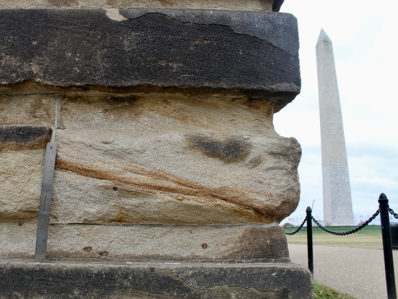
The Washington Monument peeks out from behind a sandstone gatepost
Posted inGeoFIZZ

Self-Guided Tour of the Geology in D. C. Buildings

by L. Strelich 6 December 201813 October 2022

The architecture of the nation’s capital reveals a secret geologic history—take a walking tour to spot the interesting fossils and minerals in the stones used to build the halls of power.
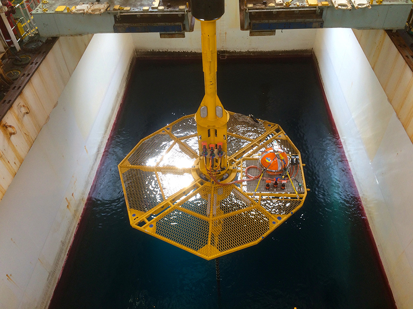
A wellhead used to study the tectonics and fluid flow in the submarine Nankai Trough
Posted inResearch Spotlights

In a Submarine Trough, Permeable Rocks May Lead to Quakes

Sarah Stanley, Science Writer by Sarah Stanley 29 November 20185 October 2022

In Japan’s submarine Nankai Trough, rock permeability is much higher when measured at larger scales, likely because of big fractures and faults that are not captured at small scales.

An updated Antarctic Magnetic Anomaly Map helps researchers study the structure of lithosphere around the South Pole.
Posted inResearch Spotlights

A More Detailed Look at Earth’s Most Poorly Understood Crust

by Terri Cook 24 October 20187 February 2023

The second-generation Antarctic Digital Magnetic Anomaly Project offers a powerful new tool for probing the structure and evolution of the southernmost continent’s lithosphere.

An enhanced-color image of Mercury
Posted inNews

Mercury Mission Will Map Morphology and Measure Magnetics

Kimberly M. S. Cartier, News Writing and Production Intern for Eos.org by Kimberly M. S. Cartier 18 October 201817 January 2023

BepiColombo may launch as early as this weekend. It seeks to unravel the mysteries of Mercury’s geologic and magnetic past and map the small planet’s cratered surface.

3-D stratigraphic model of western Alberta helps researchers visualize bedrock topography and subsurface formations
Posted inScience Updates

Geology in 3-D and the Evolving Future of Earth Science

by O. S. Boyd and L. H. Thorleifson 24 August 201814 January 2022

Geologic Mapping Forum; Minneapolis, Minnesota, 26–29 March 2018

Posts pagination

Newer posts 1 … 17 18 19 20 21 … 28 Older posts
Over a dark blue-green square appear the words Special Report: The State of the Science 1 Year On.

Features from AGU Publications

Research Spotlights

How Does Social Vulnerability Evolve After a Tropical Cyclone?

4 August 20264 August 2026
Editors' Highlights

Late Campanian Arabia-Eastern Anatolia Collision

4 August 20264 August 2026
Editors' Vox

How Bubbles Reshape Air-Sea Gas Exchange

5 August 20265 August 2026
Eos logo at left; AGU logo at right

About Eos
ENGAGE
Awards
Contact

Advertise
Submit
Career Center
Sitemap

© 2026 American Geophysical Union. All rights reserved Powered by Newspack