
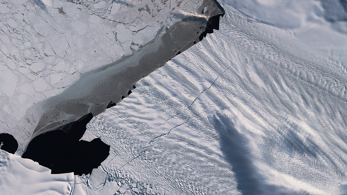
New high-resolution seafloor imagery shows a series of delicate ridges produced by the glacier’s front as it bobbed daily with the tides, revealing a recent period of rapid retreat.New high-resolution seafloor imagery shows a series of delicate ridges produced by the glacier’s front as it bobbed daily with the tides, revealing a recent period of rapid retreat.
glaciers & ice sheets
Posted inNews
Arctic Glaciers, a Peruvian Volcano, and a Russian Famine
A team studying Russian glaciers found evidence that a volcanic eruption in southern Peru changed the planet’s climate at the beginning of the 17th century.
Posted inResearch Spotlights
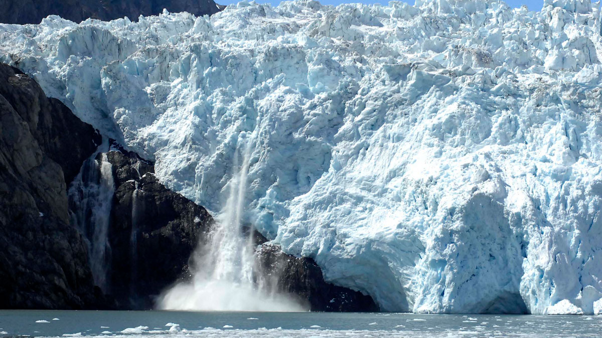
Melting Below the Pine Island Ice Shelf Minds the Gap
New research shows that increased calving from West Antarctica’s Pine Island Ice Shelf will likely drive increased circulation of warm water—and melting—below the ice.

Posted inOpinions
Protecting the Mountain Water Towers of Spain’s Sierra Nevada
Students and community members monitor the health of mountain water reserves, which capture and release water, evening out wet and dry periods downstream.
Posted inNews
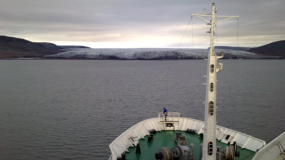
Alaskan Glaciers Advance and Retreat in Satellite Imagery
Researchers tracked 19 maritime glaciers in Kenai Fjords National Park over several decades and found that tidewater glaciers tended to experience less ice loss than other types of glaciers.
Posted inResearch Spotlights
Models Oversimplify How Melting Glaciers Deform Land
When glaciers melt, the land below deforms. Sea level data show that widely used models oversimplify the process.
Posted inEditors' Highlights
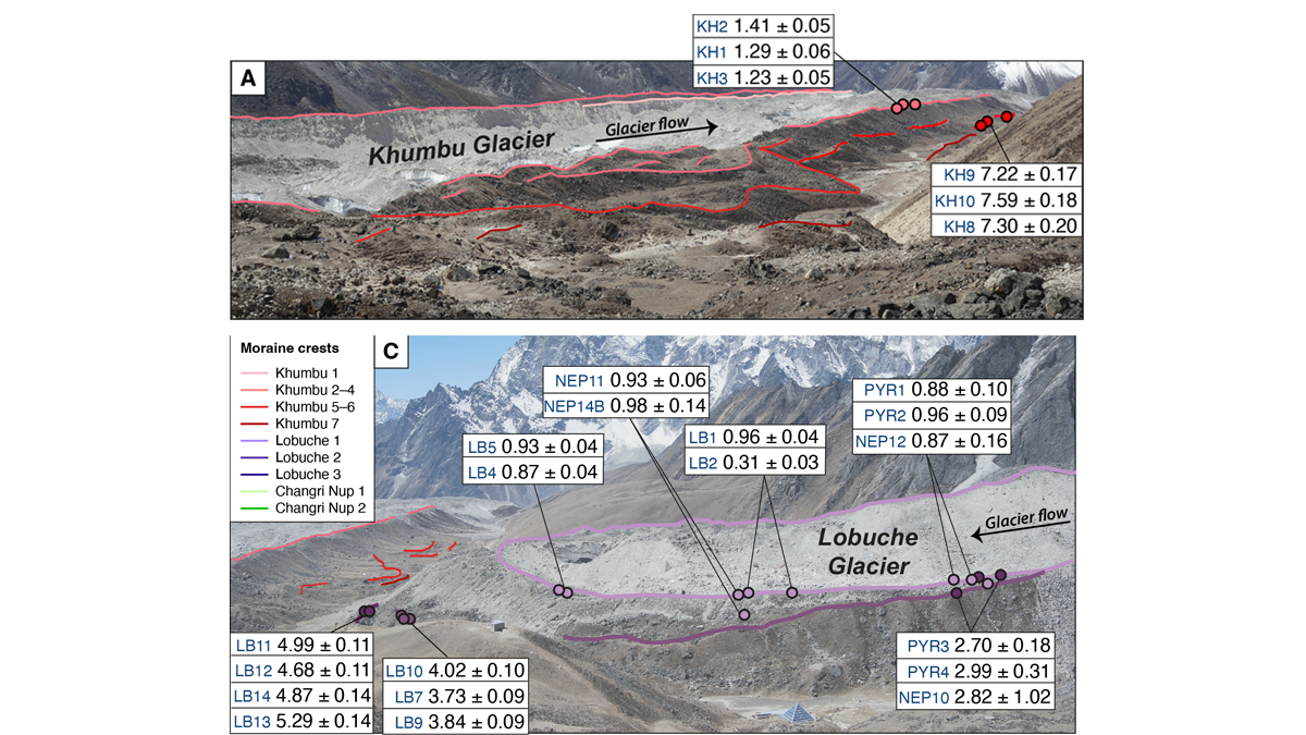
Glacier Advance and Retreat: Insights From the Top of the World
New dating of glacial features reveals predictable glacier behavior in response to climate warming and cooling in the Everest region in the past 8,000 years.
Posted inEditors' Vox
Modeling the Ice Flow and Evolution of Glaciers
Glaciers are crucial water resources and important sea level contributors. To accurately model glacier evolution, their mass balance and ice flow processes must be accounted for.

Posted inNews
Martian Glaciers May Have Carved Its Valleys
Networks of valleys provide puzzling hints of running water on the surface of the Red Planet. New research suggests that some tributaries could have formed from icy sheets thousands of meters thick.

Posted inNews
Seashells and Penguin Bones Reveal Thwaites Glacier’s Quiet Past
Antarctica’s Thwaites and Pine Island Glaciers are melting faster than they have in the past 5,500 years, new evidence shows. Against expectations, their pasts have been remarkably stable.