New research found that adjusting a key model variable may give more accurate predictions of glacial retreat.
glaciers & ice sheets
Posted inEditors' Highlights
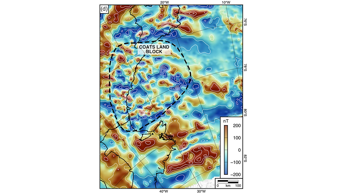
An Ancient Landscape Beneath the East Antarctic Ice Sheet
Geophysical observations of the subglacial topography of Coats Land reveal a landscape formed by tectonics and fluvial erosion that influenced the formation of the East Antarctic Ice Sheet.
Posted inNews
As Ice Recedes and Land Rebounds, Antarctica’s Mineral Resources Come into Focus
Melting ice, rebounding land, and rising seas will change what resources are available in Antarctica, a new analysis finds.
Posted inNews
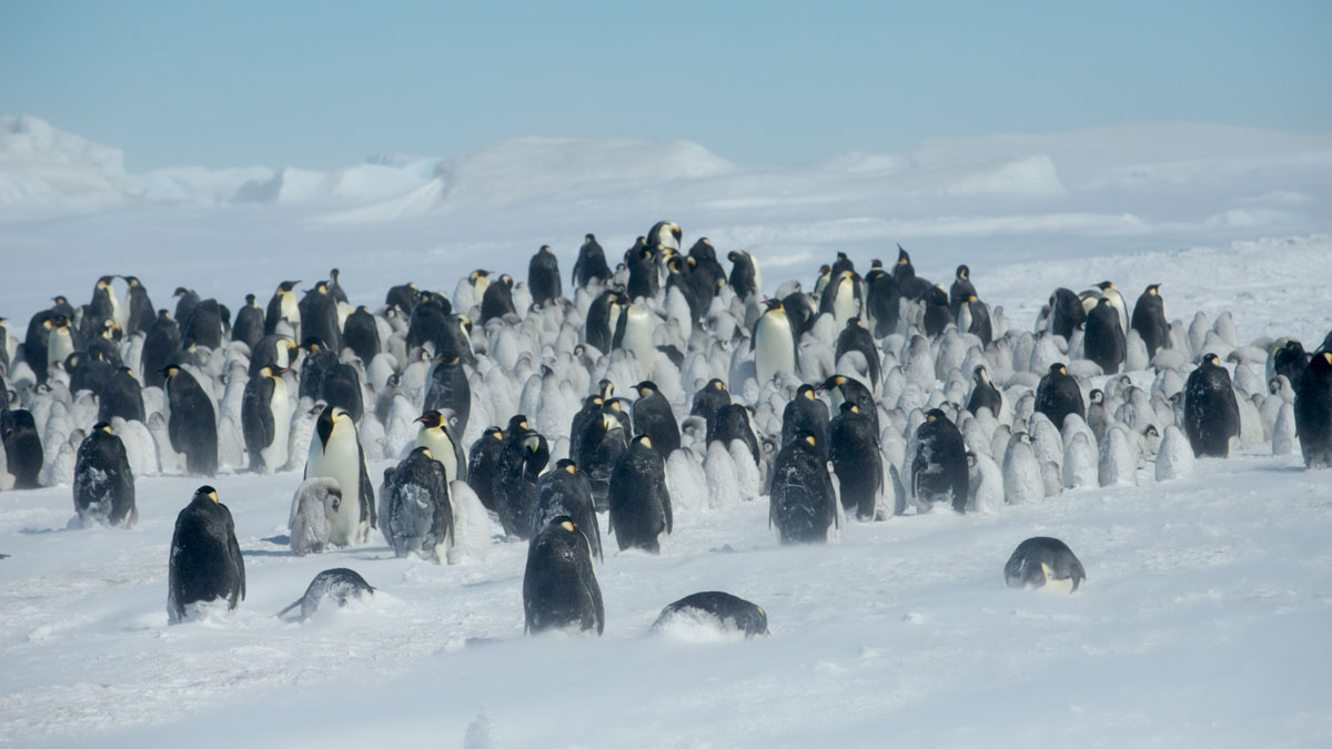
Shrinking Sea Ice Is Ruffling Emperor Penguins’ Feathers
A scientist stumbled upon evidence of penguin molting sites in satellite data, but the sea ice these birds rely on is disappearing.
Posted inNews
Earth’s Climate Records Are Melting
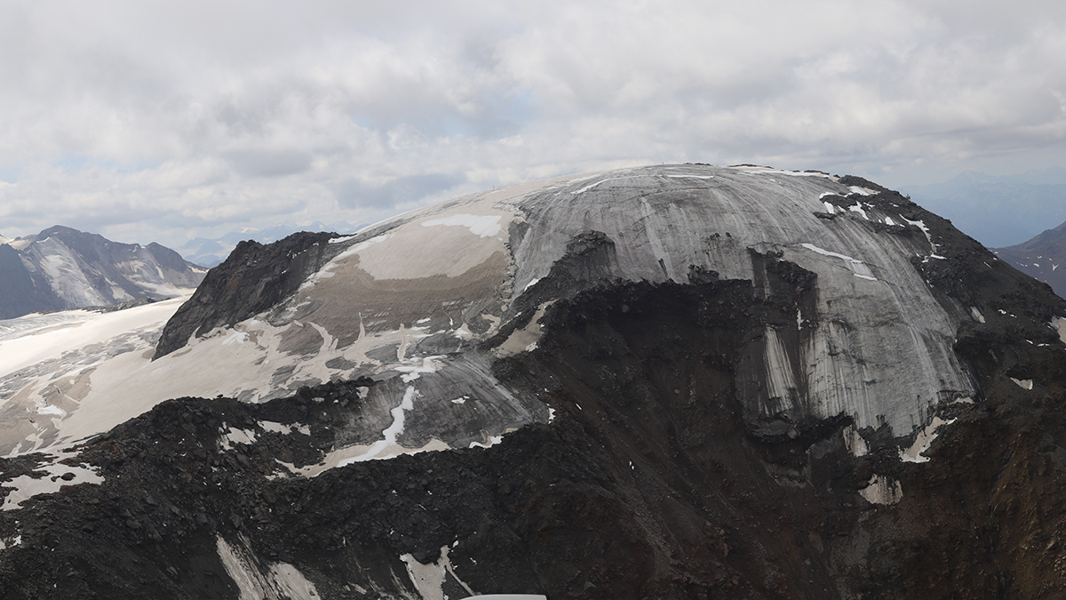
An ice core from the Weißseespitze Glacier collected in 2019 gave researchers a peek into the history of Earth’s wildfires, volcanic eruptions, and anthropogenic activity. In the years since, much of the glacier has disappeared.
Posted inNews
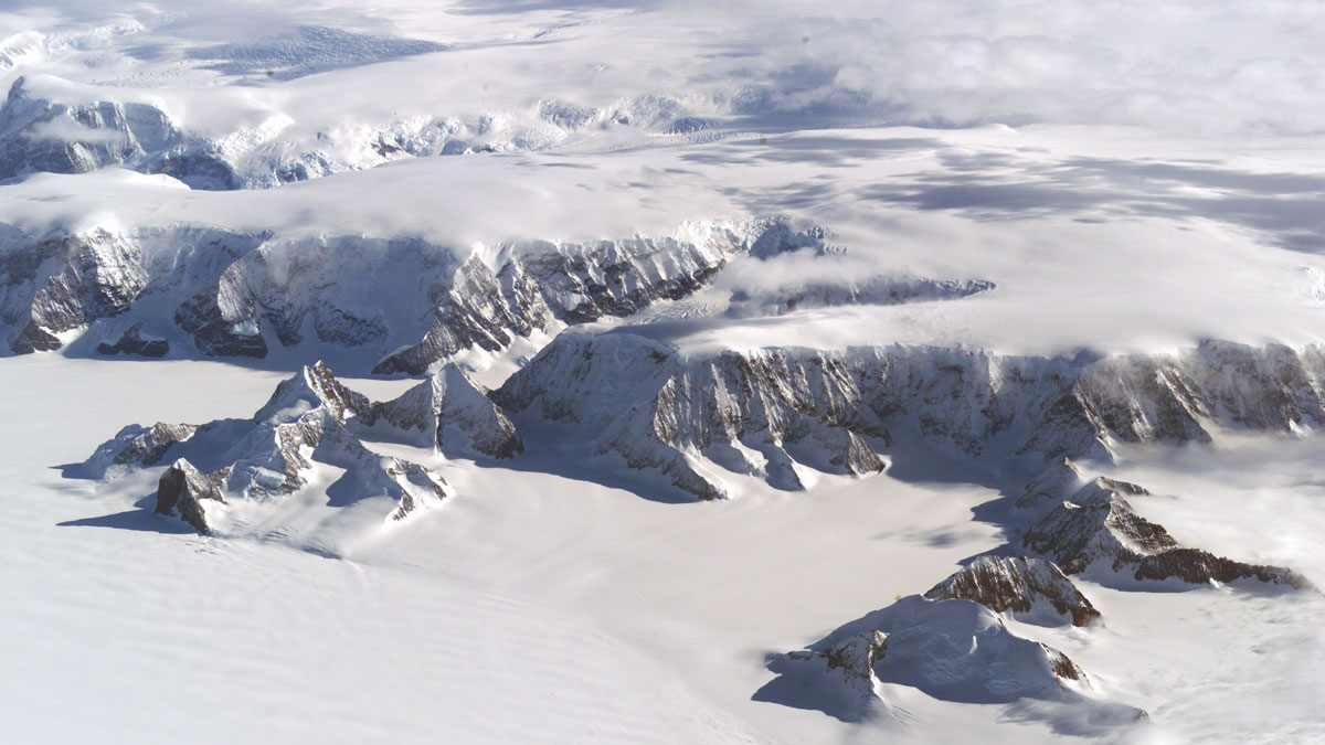
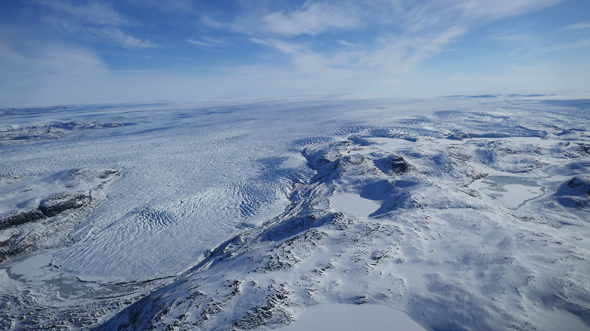
Antarctic Peninsula Faces Starkly Different Futures, Depending on Decisions Made Today
A study reveals interconnected changes under three emissions pathways and describes the emerging challenges facing Antarctic fieldwork.
Posted inEditors' Vox
How Radar Reveals the Hidden Fabric of Ice Sheets
A new review describes how measuring the polarization of radar waves in ice reveals glacier crystal structure, with implications for understanding past and future ice flow and sea-level rise.
Posted inEditors' Highlights
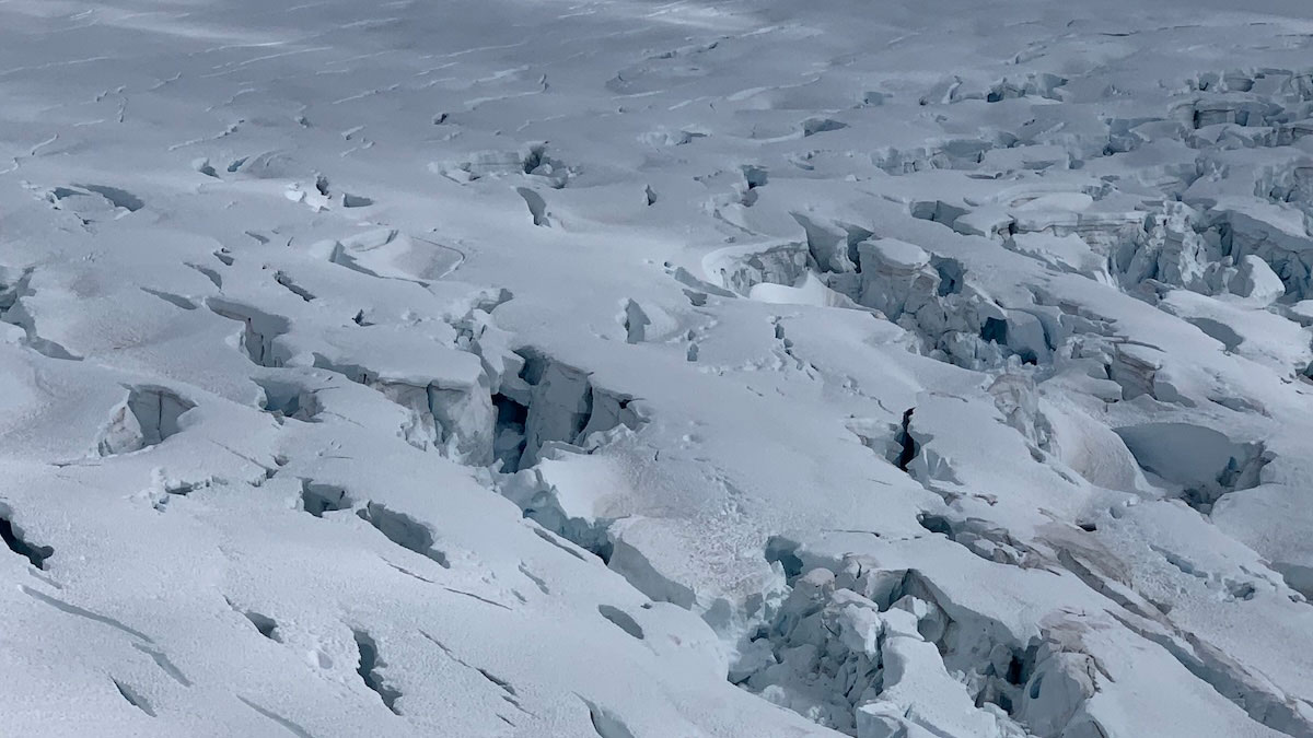
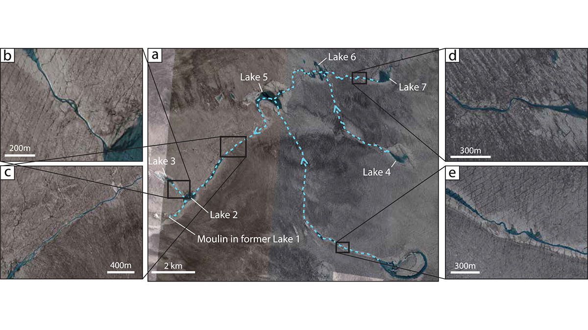
The Fate of the Greenland Ice Sheet: Deep Learning from SkySat Images
Surface meltwater ponding and drainage in the Greenland Ice Sheet is analyzed at high spatial and temporal resolution through SkySat imagery and deep learning.
Posted inResearch Spotlights
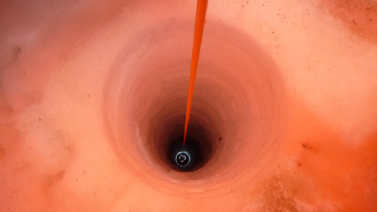
A Long-Term Look Beneath an Antarctic Ice Shelf
More than 4 years of data from a borehole in the Ross Ice Shelf reveal supercooled water and more.
Posted inNews
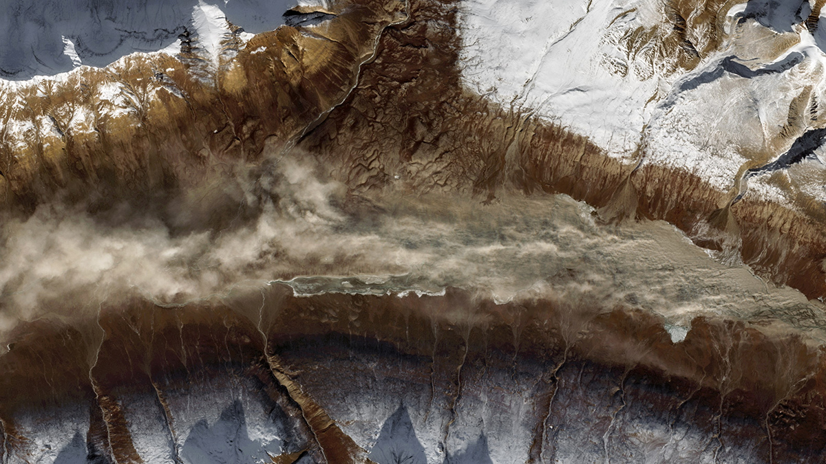
Greenland Dust Delivers Nutrients to Ice-Melting Algae
Researchers scrutinized aerosols above and within the ice sheet, finding phosphorus and other mineral particles.