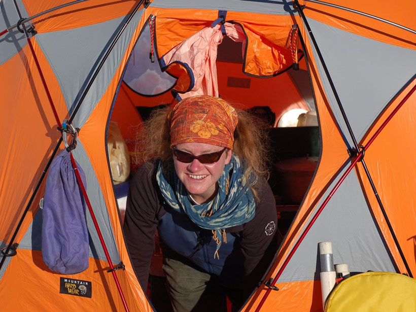
Between research trips to Antarctica and the Arctic, Pettit regularly leads art- and science-focused wilderness expeditions for young women.
glaciers & ice sheets
Posted inNews
“Terremotos Glaciales” Vistos por Primera Vez en Thwaites
Estos eventos sísmicos, provocados por los icebergs que se vuelcan y chocan contra Thwaites, revelan que el glaciar ha perdido parte de su plataforma flotante de hielo.
Posted inScience Updates
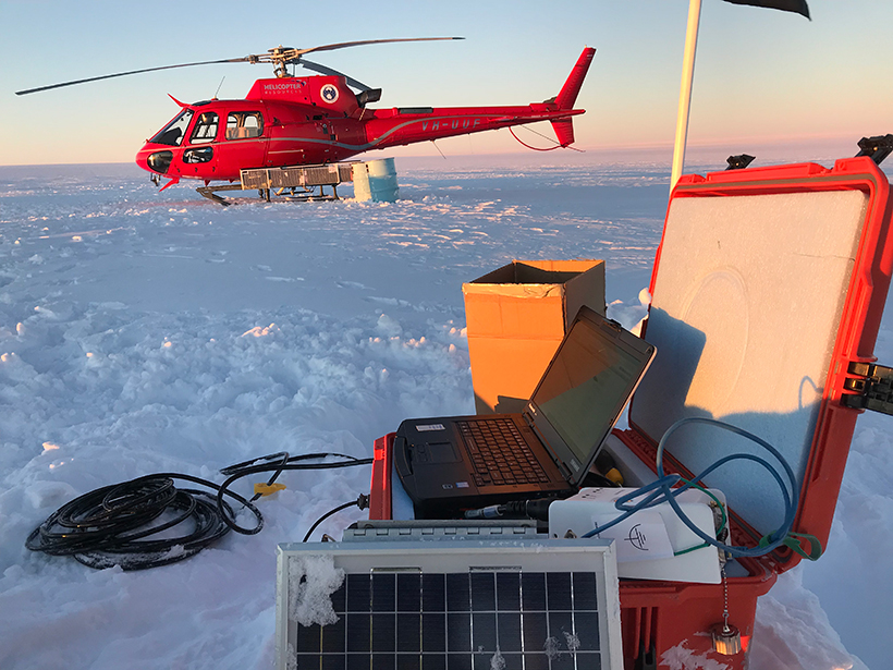
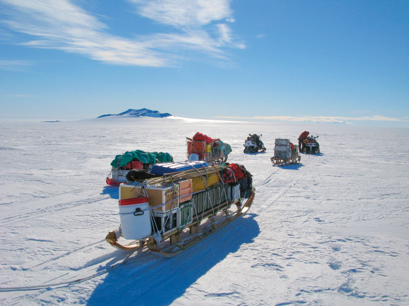
A Shared Resource for Studying Extreme Polar Environments
A new community pool of seismic instrumentation will facilitate and advance geologic and cryospheric research in Earth’s ice-covered environments.
Posted inNews
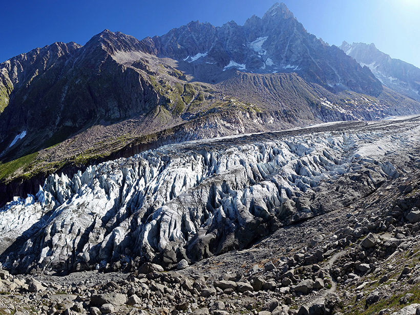
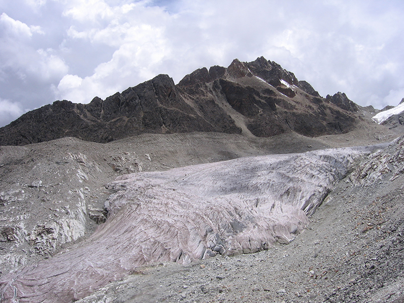
Precipitation Plays a Key Role in Glacial Erosion
After comparing the climatic conditions at dozens of glaciers worldwide, researchers find that precipitation, not temperature, is the leading environmental factor driving glacial erosion.
Posted inNews
Los Incendios del Amazonas Contribuyen al Derretimiento de los Glaciares Andinos
Investigaciones recientes revelan que las emisiones de carbono negro producidas por los incendios en el Amazonas causan que los glaciares en los Andes absorban más radiación solar y se derritan más.
Posted inAGU News
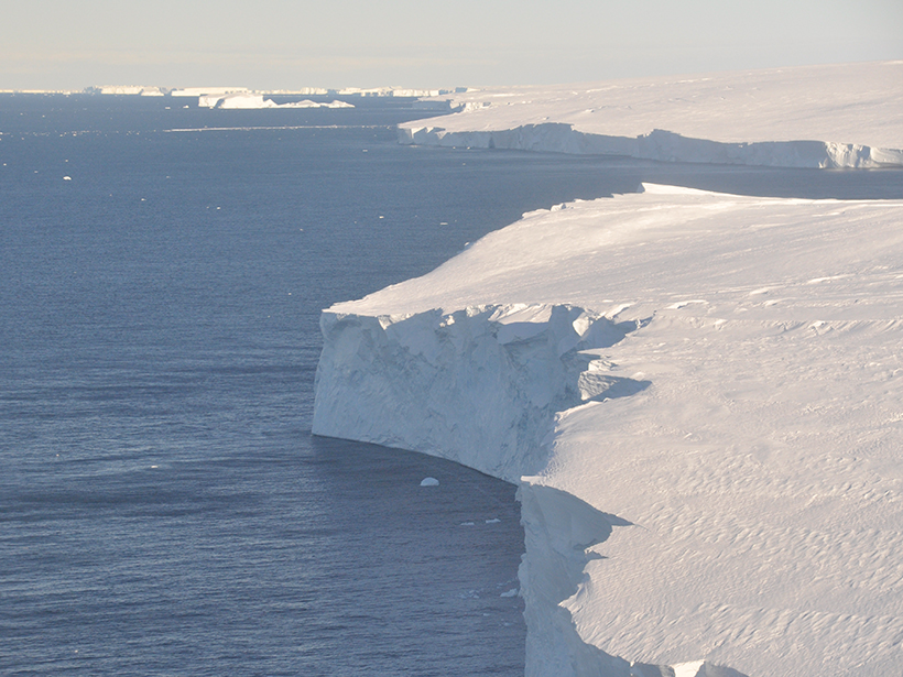
The Threat at Thwaites
This Antarctic glacier is rapidly losing mass. An international team is digging into the ice to figure out just how bad it is.

Posted inNews
“Glacial Earthquakes” Spotted for the First Time on Thwaites
These seismic events, triggered by icebergs capsizing and ramming into Thwaites, reveal that the glacier has lost some of its floating ice shelf.
Posted inEditors' Highlights
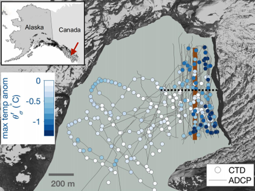
First Field Observations of Ocean Melting a Tidewater Glacier
Using autonomous kayaks, researchers carried out measurements of water properties near the terminus of LeConte Glacier and showed that ice/ocean interactions are more complex than thought.
Posted inNews
The Give and Take of Mercury in Glacial Landscapes
As glacial ice melts, toxic mercury is released into the environment. But a new study shows vegetation may be an effective cleanup crew.
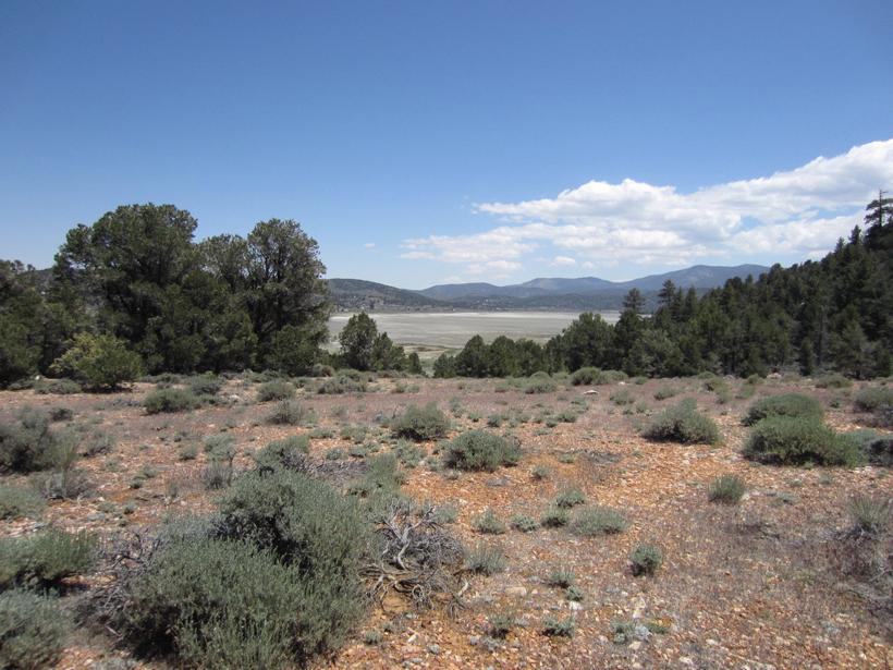
Posted inResearch Spotlights
Southern California Climate Change over 100,000 Years
Researchers used a sediment core from a lake in California’s San Bernardino Mountains to track the effect of climate on vegetation, fire, and erosion between about 120,000 and 15,000 years ago.