
Scientists studying why previous research revealed a steadily increasing number of tornadoes in the United States per outbreak find an unexpected result.
Hazards & Disasters

Posted inOpinions
Laboratory Sharing to Improve Rock Deformation Research
An ever-growing group of scientists seeks to integrate rock deformation labs from across the United States into one shared national facility.
Posted inResearch Spotlights
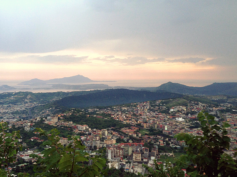
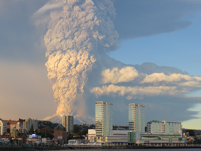
When Might the Campi Flegrei Caldera Erupt Again?
The clock may be ticking for Italy's Campi Flegrei caldera, a region with a pattern of numerous and sometimes large explosive eruptions. The next explosion could be less than 100 years away.

Posted inEditors' Vox
Plate Boundaries and Natural Hazards
The editors of a new book on tectonics discuss the origins of the science and its importance in a new millennium.
Posted inEditors' Vox
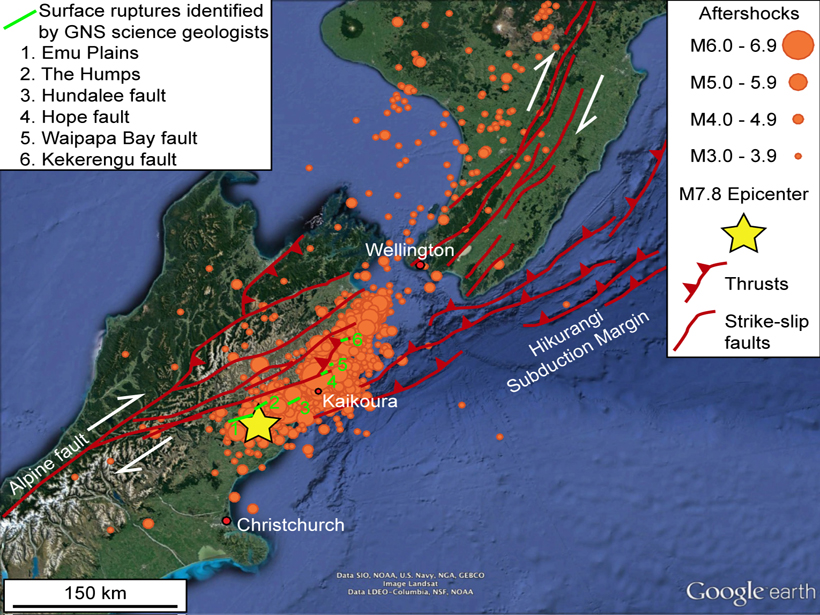
Complex Earthquake Raises Complex Questions
A devastating earthquake has hit New Zealand, but this unusual event, with long duration slip on several faults, will also provide an astounding data set for understanding a complex tectonic region.

Posted inNews
Cores from Crater Tied to Dinosaur Demise Validate Impact Theory
Drilling into the famous, deeply buried Chicxulub crater off Mexico, researchers found deformed and porous granite that opens new avenues of research.
Posted inOpinions
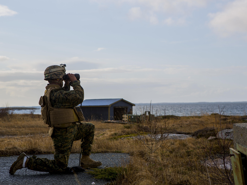
Academia and the Military Can Be Valuable Partners
The common cause of protecting people and the environment from disasters can and should unite academics and military personnel.
Posted inScience Updates
How Did Climate and Humans Respond to Past Volcanic Eruptions?
First workshop of the Volcanic Impacts on Climate and Society Working Group; Palisades, New York, 6–8 June 2016
Posted inScience Updates
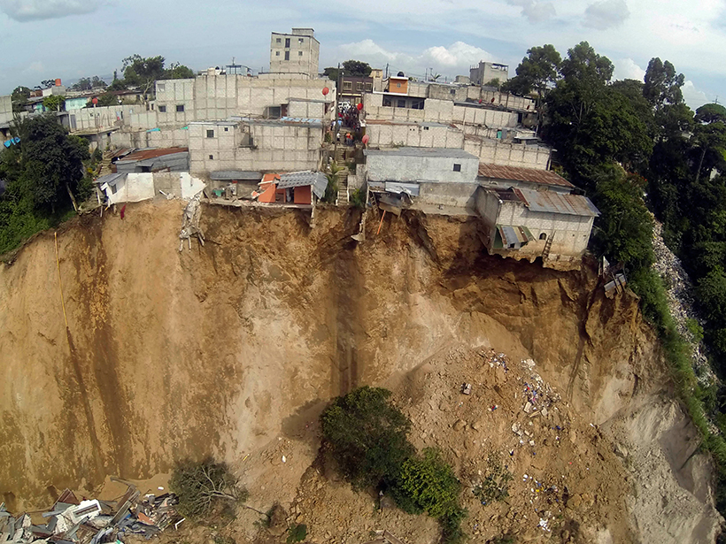
An Early Warning System for Landslide Danger
Advances in satellite imaging, mapping, and rainfall estimations have made it possible to implement a regional real-time assessment of landslide hazard threats across Central America.

Posted inEditors' Vox
Anthropogenic Drought: How Humans Affect the Global Ecosystem
Amir AghaKouchak discusses how human activity affects water supply and the environment.