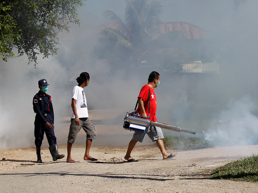
Public health and environmental organizations brought together by former vice president Al Gore held a pared-down meeting to replace a canceled one.
Hazards & Disasters
Posted inNews
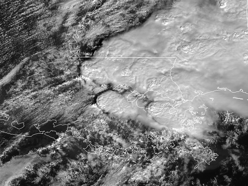
NOAA Video Shows Satellite Views of Louisiana Tornadoes
Real-time updates of storms will help forecasters track and predict where the most damage could occur.
Posted inResearch Spotlights
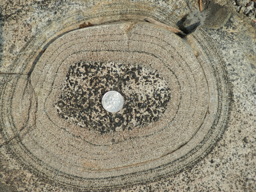
Pulses of Rising Magma in Sierra Nevada's Past
A detailed study of layered igneous material at California's Fisher Lake offers a novel approach to identifying the pathways and timescales of individual magma pulses in volcanic arcs.
Posted inNews
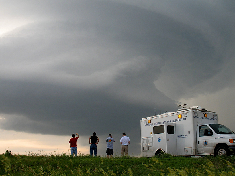
Initiative Aims to Help Cut Losses from Extreme Weather Events
A new alliance aims to integrate social and behavioral science into meteorological research and practice to help build resilience to natural disasters.

Posted inResearch Spotlights
Deep Drilling Reveals Puzzling History of Campi Flegrei Caldera
Results show that caldera collapse attributed to a super eruption almost 40,000 years ago was smaller than what scientists expected. So what might have really happened?
Posted inResearch Spotlights
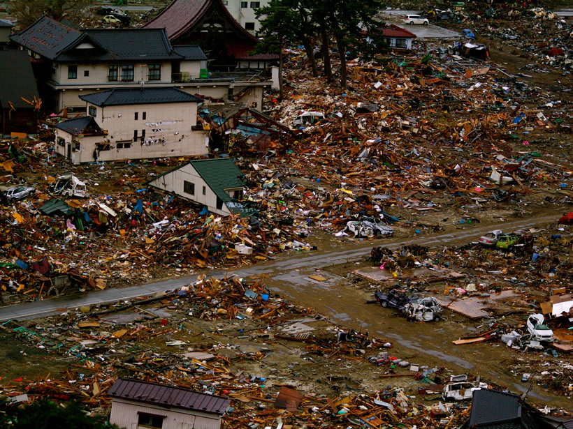
An Up Close Look at the Megaquakes That Cause Tsunamis
Researchers recreate changes in the seafloor during Japan's devastating 2011 tsunami.
Posted inNews
Report Calls for Revised Method to Chart Cost of Climate Change
Proposed changes could improve the calculation's scientific basis and transparency, according to the report.
Posted inScience Updates
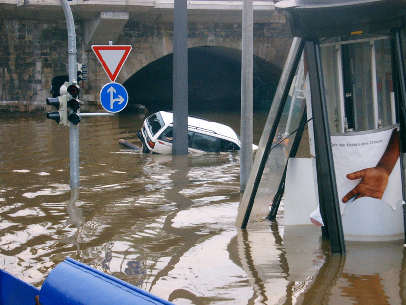
Using Archives of Past Floods to Estimate Future Flood Hazards
Cross Community Workshop on Past Flood Variability; Grenoble, France, 27–30 June 2016

Posted inNews
Tsunamis Leave a Telltale Chemical Trail
Researchers follow a trail of organic compounds in soil that reveals the 2011 Tohoku tsunami's path over the Japanese coastline, providing clues to how often tsunamis recur and where they travel.
Posted inScience Updates
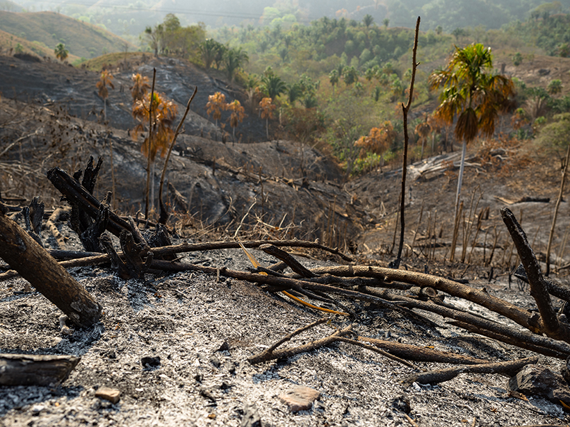
Identifying a Fire Ecology Research Agenda for Colombia
Fire Ecology Colloquium; Bogotá, Colombia, 23–24 June 2016