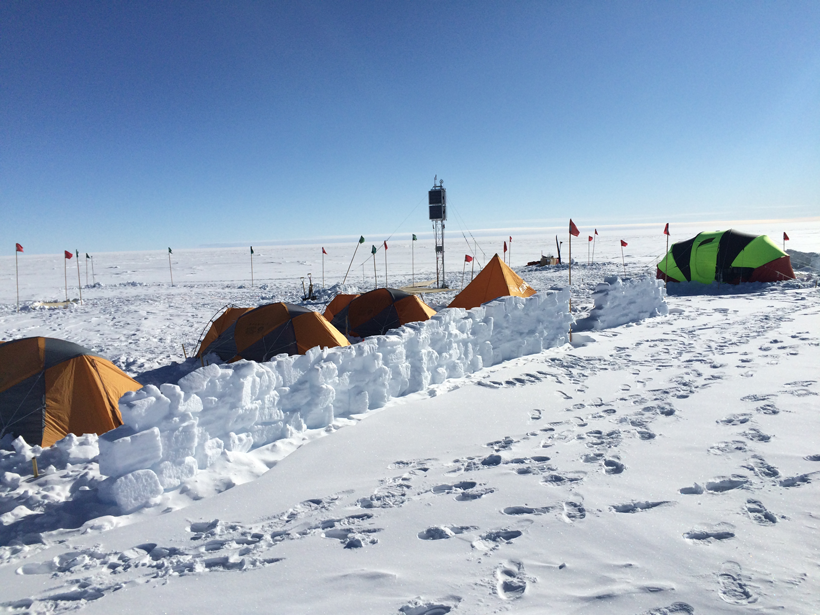
A recently completed instrument array in Antarctica provides a more complete understanding of the near-Earth space environment.
Hazards & Disasters

Posted inResearch Spotlights
Hong Kong, Macau at Greater Tsunami Risk Than We Thought
Researchers assess tsunami risk in the South China Sea based on models of seismic slip along the Manila megathrust.
Posted inResearch Spotlights
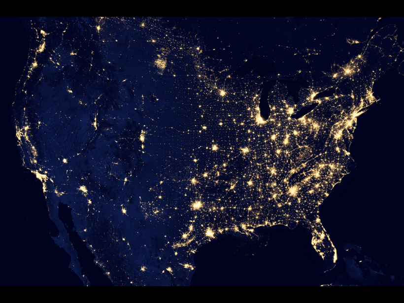
Mapping Geoelectric Hazards Across the United States
Variations in Earth’s magnetic field can induce electric fields in the ground, driving damaging currents through our power grids.
Posted inScience Updates
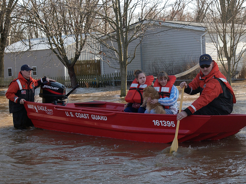
Flood Response Using Earth Observation Data and Products
NASA Flood Response Workshop; Greenbelt, Maryland, 14–16 June 2016
Posted inResearch Spotlights
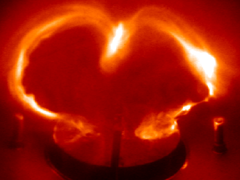
Lab Experiment Tests What Triggers Massive Solar Eruptions
In a first-of-its-kind demonstration, scientists provide experimental support for a possible mechanism behind the formation of coronal mass ejections.
Posted inNews
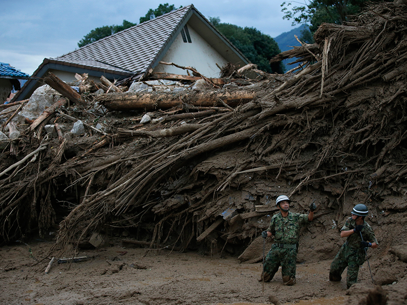
Tracking Landslide Hazards Around the World, Pixel by Pixel
Combining satellite precipitation measurements and remotely sensed environmental data, a new system aims to improve landslide awareness and preparedness in all corners of the globe.

Posted inResearch Spotlights
Why 2015 Was a Big Hurricane Year for the Eastern North Pacific
Record-breaking oceanic and atmospheric conditions led to a remarkable season in a key Pacific hurricane development region.

Posted inNews
Seismic Wave Videos Combine Sight and Sound
Researchers convert seismic data into sounds and animations, providing scientists with a new way to view what happens to Earth during earthquakes.

Posted inResearch Spotlights
The Gravity of Volcanic Eruptions
New research suggests that continually monitoring gravity changes near active volcanoes could provide insights into volcanic activity.

Posted inResearch Spotlights
Seismological Models Are Biased, but Scientists Have a Solution
Many seismic wave models are based on an erroneous assumption about the Earth's interior. A new technique corrects this by eliminating false signals produced by models.