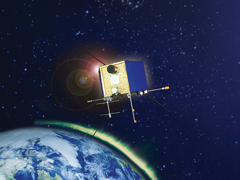
The first results from a recently launched satellite hold promise for studying solar storms, the very top of Earth's ionosphere, and how the atmosphere is evolving.
Hazards & Disasters
Posted inNews
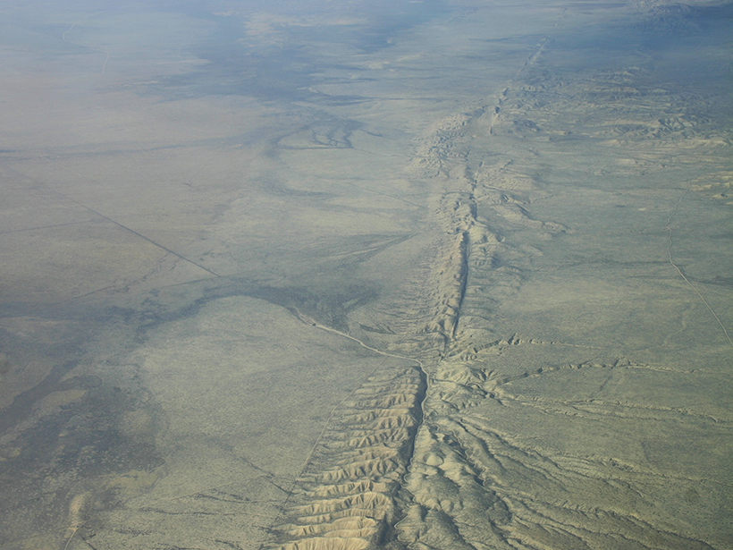
Tiny, Deep Quakes Increase on San Andreas as Tides Tug on Fault
When the gravity of the Sun and Moon causes Earth's crust to bulge every 2 weeks, slow-moving earthquakes proliferate in the lower reaches of the San Andreas, a new study finds.
Posted inResearch Spotlights
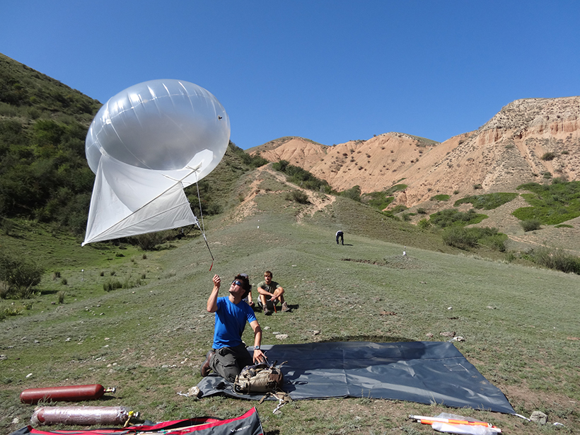
Tracking Down Elusive Origins of Kazakhstan's 1889 Chilik Quake
New fieldwork and satellite data suggest that three faults may have caused a large earthquake near Almaty, Kazakhstan, more than a century ago.

Posted inNews
Earth Fissures May No Longer Get Mapped in Arizona
A program that monitors giant cracks in the ground that suddenly appear after heavy rain could become a casualty of budget cuts to the Arizona Geological Survey.
Posted inFeatures
Global Risks and Research Priorities for Coastal Subsidence
Some of the world's largest cities are sinking faster than the oceans are rising. Humans are part of the problem, but we can also be part of the solution through monitoring and modeling.

Posted inScience Updates
Cameroon's Lake Nyos Gas Burst: 30 Years Later
9th Workshop of the IAVCEI-Commission on Volcanic Lakes (CVL9); Cameroon, 14–24 March 2016
Posted inAGU News
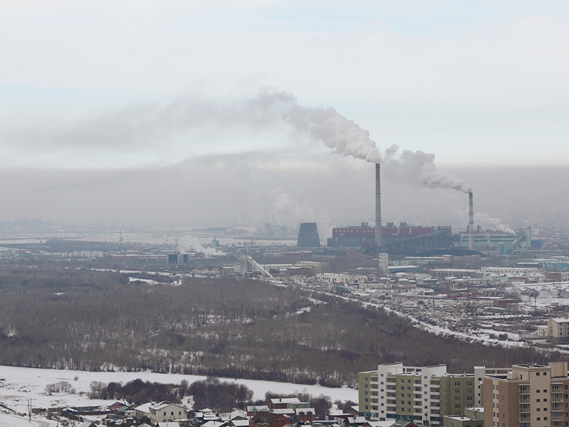
Closing the Air Quality Data Gap in the Developing World
How a husband-and-wife team created the world's first open access, open source international air quality data hub—a global resource for health organizations, policy makers, and others.
Posted inResearch Spotlights
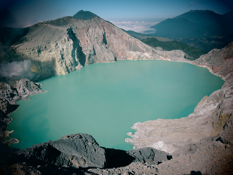
A New Tool to Better Forecast Volcanic Unrest
In a retrospective study of volcanic unrest at Indonesia's Kawah Ijen, a new model was able to pick up on the rising probability of eruption 2 months before authorities were aware of the risk.

Posted inNews
Telica Volcano Rested Quietly Right Before Spewing Ash
The length of quiet periods predicts the severity of eruption events, according to a new model that might soon help forecast explosions worldwide.
Posted inNews
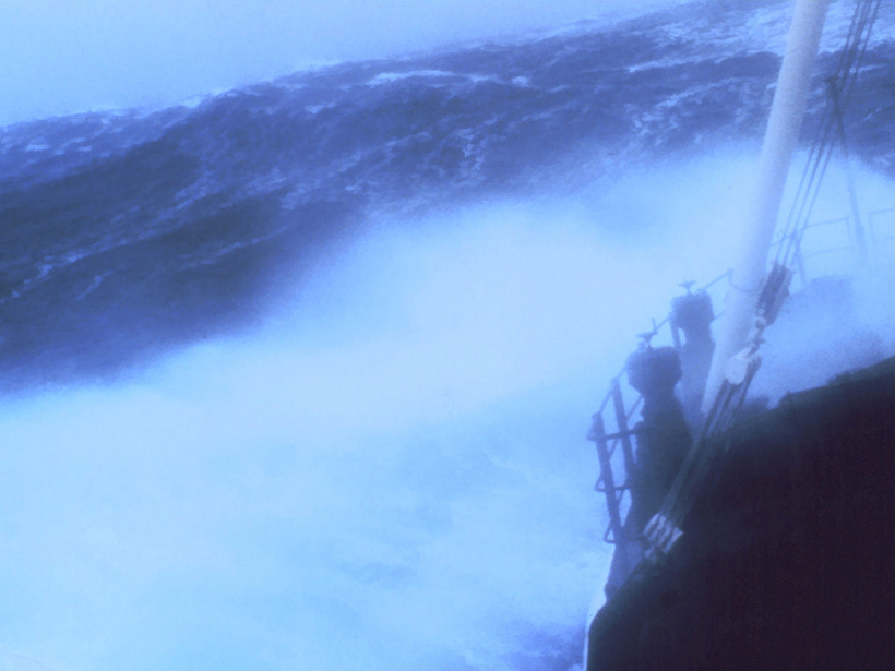
Model Predicts Heights of Rogue Waves
Rogue waves form without warning and can tower more than 25 meters high. A new mathematical approach shows promise at simulating how high these waves can be.