• About
  • Special Reports
  • Topics
    • Climate
    • Earth Science
    • Oceans
    • Space & Planets
    • Health & Ecosystems
    • Culture & Policy
    • Education & Careers
    • Opinions
  • Projects
    • Postcards From the Field
    • ENGAGE
    • Editors’ Highlights
    • Editors’ Vox
    • Eos en Español
    • Eos 简体中文版
    • Print Archive: 2015–2025
  • Policy Tracker
  • Blogs
    • Research & Developments
    • The Landslide Blog
  • Newsletter
  • Submit to Eos
  • AGU.org
  • Career Center
  • Join AGU
  • Give to AGU
  • About
  • Special Reports
  • Topics
    • Climate
    • Earth Science
    • Oceans
    • Space & Planets
    • Health & Ecosystems
    • Culture & Policy
    • Education & Careers
    • Opinions
  • Projects
    • Postcards From the Field
    • ENGAGE
    • Editors’ Highlights
    • Editors’ Vox
    • Eos en Español
    • Eos 简体中文版
    • Print Archive: 2015–2025
  • Policy Tracker
  • Blogs
    • Research & Developments
    • The Landslide Blog
  • Newsletter
  • Submit to Eos
Skip to content
  • AGU.org
  • Career Center
  • Join AGU
  • Give to AGU
Eos

Eos

Science News by AGU

Support Eos
Sign Up for Newsletter
  • About
  • Special Reports
  • Topics
    • Climate
    • Earth Science
    • Oceans
    • Space & Planets
    • Health & Ecosystems
    • Culture & Policy
    • Education & Careers
    • Opinions
  • Projects
    • Postcards From the Field
    • ENGAGE
    • Editors’ Highlights
    • Editors’ Vox
    • Eos en Español
    • Eos 简体中文版
    • Print Archive: 2015–2025
  • Policy Tracker
  • Blogs
    • Research & Developments
    • The Landslide Blog
  • Newsletter
  • Submit to Eos

Hazards & Disasters

Scientists track lava with steam clouds.
Posted inNews

Eyjafjallajökull Gave Lava and Ice Researchers an Eyeful

by E. Deatrick 28 June 20164 October 2021

New insights from the 2010 eruption may help volcanologists determine how glaciers shaped ancient lava flows.

Resort city of Ixtapa, Mexico
Posted inScience Updates

Understanding Slow Slip and Tremor on Plate Boundaries

by A. L. Husker, H. Houston and M. Campillo 27 June 20164 February 2022

Chapman Conference on Slow Slip Phenomena; Ixtapa, Mexico, 21–25 February 2016

A December 2015 eruption of Mexico’s Colima volcano.
Posted inScience Updates

Enhancing Safety in a Volcano's Shadow

by J. Martí, S. Bartolini and L. Becerril 21 June 201618 November 2022

A new project gives civil authorities and scientists a common set of tools for assessing volcanic hazards and managing associated risks.

NOAA's Mauna Loa Observatory, in Hawaii.
Posted inNews

El Niño Will Increase Atmospheric Carbon to Historic Levels

Amy Coombs by A. Coombs 16 June 201630 March 2023

Tropical fires and drought-stricken ecosystems that normally serve as sinks will release carbon, contributing to high atmospheric concentrations through 2016 and beyond.

Suspended fine sediment threatens fish.
Posted inNews

Silty Streams Muddy Freshwater Conservation Issues

by E. Deatrick 15 June 201621 December 2023

Throughout the Pacific Northwest, dirt from unpaved roads can clog streams, threatening fish habitats. Scientists have only a murky understanding of how to clear up these turbid waters.

A scientist takes a smoke sample from a smoldering peat fire in Kalimantan, Indonesia.
Posted inNews

The 2015 Indonesian Fires: Less Carbon Release Than Was Thought

by R. Heisman 9 June 201627 March 2023

Preliminary results from field measurements of smoldering Kalimantan peatlands suggest that the fires emitted 8% less carbon dioxide and 55% less methane than were previously estimated from lab tests.

The 15 June 1991 eruption of Mount Pinatubo.
Posted inNews

Pinatubo 25 Years Later: Eight Ways the Eruption Broke Ground

JoAnna Wendel, freelance science writer and illustratorMohi Kumar headshot by JoAnna Wendel and M. Kumar 9 June 20165 June 2023

From the first rapid assessment of a volcano's history to insights on geoengineering, the 15 June 1991 eruption of Mount Pinatubo changed the way we approach and learn from volcanic hazards.

Trained storm reporters learn to use environmental cues, like these swaying trees, to determine wind speeds.
Posted inNews

Humans Misread Wind Speeds, Skewing a Major Hazards Database

by E. Deatrick 6 June 201626 October 2021

Weather spotters who report storm measurements and observations to a U.S. national compendium of storm data often exaggerate winds speeds—by about one third, on average.

Posted inNews

Deepwater Horizon Oil Lingered and Sank, Stuck to "Marine Snow"

Amy Coombs by A. Coombs 3 June 201618 May 2022

A new study may explain how supposedly buoyant oil from the huge 2010 oil spill coated corals and other organisms on the ocean floor.

A large earthquake devastated parts of coastal northern Ecuador in April 2016.
Posted inResearch Spotlights

A New View of the Plate Dynamics Behind Earthquakes in Ecuador

Sarah Stanley, Science Writer by Sarah Stanley 2 June 20162 May 2022

Scientists get one step closer to an updated seismic hazard map that could help Ecuador prepare for future tremors.

Posts pagination

Newer posts 1 … 158 159 160 161 162 … 179 Older posts
Over a dark blue-green square appear the words Special Report: The State of the Science 1 Year On.

Features from AGU Publications

Research Spotlights

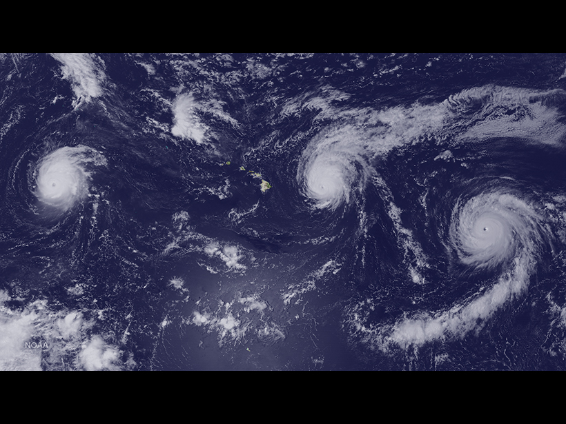
Typhoons Mix Up Bacteria and Biochemistry

10 July 20269 July 2026
Editors' Highlights

A Satellite-Based Global Carbon Flux Product is Sensitive to Droughts 

8 July 20266 July 2026
Editors' Vox

Small-Scale Indian Ocean Dynamics Underpin Marine Ecology and Climate

4 June 20263 June 2026
Eos logo at left; AGU logo at right

About Eos
ENGAGE
Awards
Contact

Advertise
Submit
Career Center
Sitemap

© 2026 American Geophysical Union. All rights reserved Powered by Newspack