Source: Geophysical Research Letters
Traditionally, seismic hazard studies have used data from past earthquakes to estimate the shaking from future earthquakes. These historical observations have shown that differences in the topography, density, and other properties of rocks surrounding a fault will affect the amount, nature, and duration of shaking.
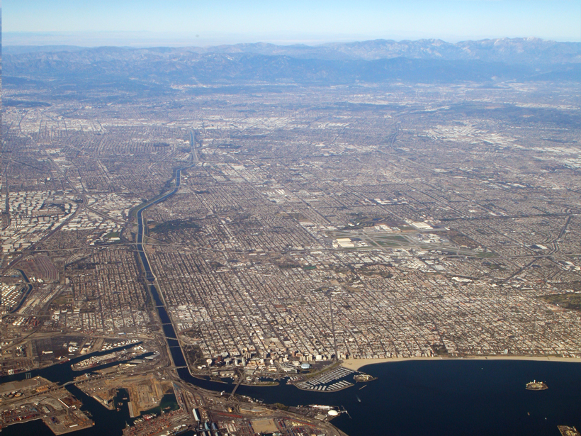
Data from historical events are limited, however, and may only provide average properties of a region or city. A more detailed assessment can be obtained using an array of geophones that listen to the high-frequency noise of the Earth. Bowden et al. analyzed data from a dense array of more than 5200 geophones located an average of only 100 meters apart in Long Beach, Calif., across the Newport-Inglewood fault (see video).
The authors combined ambient noise cross-correlation and wavefront tracking techniques to map the amplitudes of surface waves. The ambient noise cross-correlation technique extracts surface wave signals from background noise, and the wavefront tracking technique recovers amplification patterns from the local geology in detail. For example, the authors’ maps imply that amplitudes of shaking during an earthquake may be much greater in the southwestern part of the array and suggest how the structure of the fault itself plays a role. (Geophysical Research Letters, doi:10.1002/2014GL062662, 2015)
—Catherine Minnehan, Freelance Writer
Citation: Minnehan, C. (2015), Extracting new meaning from seismological data, Eos, 96, doi:10.1029/2015EO038255. Published on 9 September 2015.
Text © 2015. The authors. CC BY-NC 3.0
Except where otherwise noted, images are subject to copyright. Any reuse without express permission from the copyright owner is prohibited.