A theoretical model coupled to lab experiments on turbulent jets with reversing buoyancy sheds new light on the role of wind in controlling the dynamics of volcanic eruptive columns.
Hazards & Disasters

Posted inFeatures
An Unfought Geoscience Battle in U.S. Prisons
Prisoners, activists, and lawyers are fighting to protect incarcerated people from pollution and the dangers of climate change. There’s a place for geoscientists in the fight too.

Posted inNews
Birds Sang a New Song During the Pandemic
White-crowned sparrows in the San Francisco Bay Area sang differently during California’s COVID-19-induced shutdown, recordings have revealed.

Posted inNews
Can Newspaper Reporting Uncover Flood Risk?
In areas of low or no flood monitoring, archival coverage of historical flooding can help scientists make better risk predictions.
Posted inFeatures
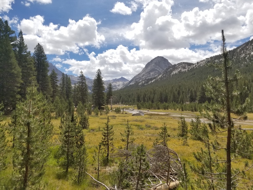
Traversing the High Sierra on the People’s Paths
Living in Geologic Time: Backpacking through the past, present, and future of fire on the John Muir Trail.

Posted inResearch Spotlights
Predicting the Next Big Frost Quake
Frost quakes occur in boreal regions when rapidly expanding ice underground causes frozen soils to fracture. A recent frost quake in Finland has given scientists a rare look into how they form.

Posted inEditors' Highlights
Post-Tropical Cyclones Influence on European Windstorm Risk
Comparing the importance of midlatitude cyclones and post-tropical cyclones on European windstorms during the Atlantic hurricane season using ERA-5 reanalysis.

Posted inResearch Spotlights
Simple Actions Can Help People Survive Landslides
New research provides practical advice to minimize landslide risk for individuals before, during, and after an event.

Posted inScience Updates
Torrential Rains and Poor Forecasts Sink Panama’s Infrastructure
Scientists are working to improve the forecasting of heavy rains in Panama following several events over the past decade that caused substantial flooding and damage.

Posted inNews
Wildfires Threaten West Coast’s Seismic Network
A dense seismic network keeps vigil over the western United States, sensing quakes soon after they begin so people nearby can brace themselves. How do wildfires affect these guardians of the West Coast?