
High-resolution radar images from Switzerland’s experimental test site show that snow temperature is a key factor in classifying avalanche behavior.
Journal of Geophysical Research: Earth Surface

Posted inEditors' Highlights
Untangling Sediment Transport Through River Networks
A stochastic sediment routing model for river networks is inverted to determine sediment source areas based on point observations of grain size and sediment flux at the basin outlet.

Posted inResearch Spotlights
A New Model of Drumlin Formation
Observations from the surge-type glacier Múlajökull in Iceland underpin new modeling results that suggest the glacier’s drumlins grow during quiet intervals of normal flow between glacial surges.
Posted inResearch Spotlights
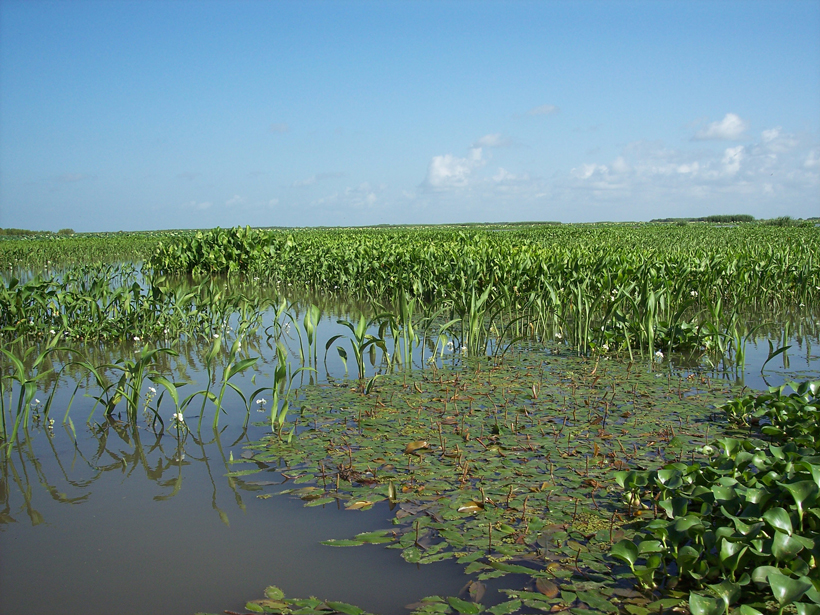
Nonflood Flow May Be Major Driver of Delta Growth
Plants and fluctuating river flow work together to balance vertical sediment buildup with sediment delivery to the delta’s edge.
Posted inEditors' Vox
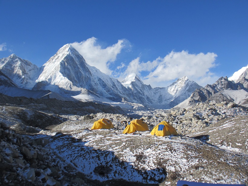
Hot Water, Cold Ice
Despite careful planning, there can be many uncertainties and unknowns about doing field research in remote locations.

Posted inResearch Spotlights
Faulty Assumptions Impair Earthquake Hazard Assessment in Italy
Along faults in the Central Apennine Mountains, weather and landslides may cause rock exposure that is mistakenly attributed to earthquakes.
Posted inResearch Spotlights
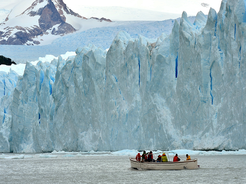
In Patagonian Lakes, Glacial Meltwater Lies Low
A new study reveals key differences in ice-water interactions between glaciers that flow into lakes and glaciers that end in the sea.
Posted inResearch Spotlights
New Tool for Understanding Landscape Evolution in Drylands
Combining vegetation distribution models and sediment transport models offers a better understanding of how dryland environments change in response to different factors.
Posted inResearch Spotlights
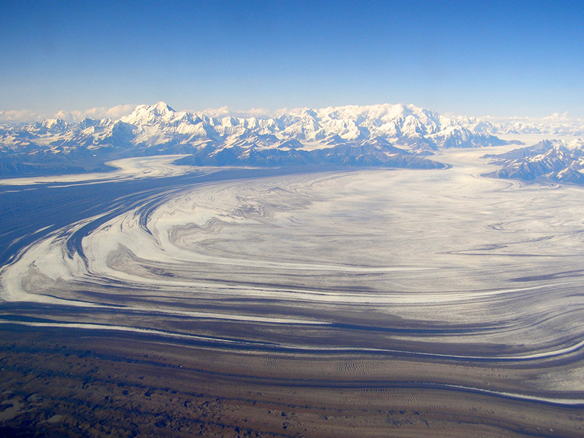
A Mountain Range's History Preserved in Ocean Sediments
Fission track dating core samples from the Gulf of Alaska demonstrates that offshore sediments can be used to reconstruct a mountain range's changing exhumation patterns.
Posted inResearch Spotlights
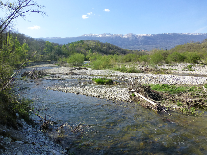
Groundwater: A Hidden Influence on River Shape
A new study shows how groundwater influences river dynamics and channel pattern.