
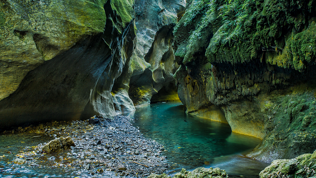
Permafrost thaw might cause Arctic riverbanks to erode more quickly. But a new study shows why these erosion rates aren’t as dramatic as some scientists feared.
Journal of Geophysical Research: Earth Surface
Posted inEditors' Highlights
Going Through a Rough Patch: Modeling Sediment Moving in Rivers
Irregularities of the rocky surface due to bumps and sediment patches are key to capturing the movement of sediment grains in rivers.

Posted inEditors' Highlights
Rainstorm Intensity Drives Desert Landscape Evolution
New mathematical models show that the persistence of near-vertical cliffs in arid landscapes is maintained by infrequent, but high-intensity rain storms.
Posted inEditors' Highlights
New Tracers of Wind Erosion Provide Insight into Dryland Vegetation
Rare earth element tracers provide insight into how fire and wind transport influence the vegetation state of the world’s drylands.
Posted inEditors' Highlights
How Good a Recycler is the Himalaya?
Researchers use sediment recycling to their advantage to calculate how fast the hills at the front of the Himalaya are eroding based on the concentration of rare elements in river sands.

Posted inEditors' Highlights
Modeling Braided Rivers in Presence of Exotic Weeds and Dams
Numerical modeling can help with identifying the combined effects of weed growth, flood frequency, and magnitude on gravel bed rivers.
Posted inEditors' Highlights
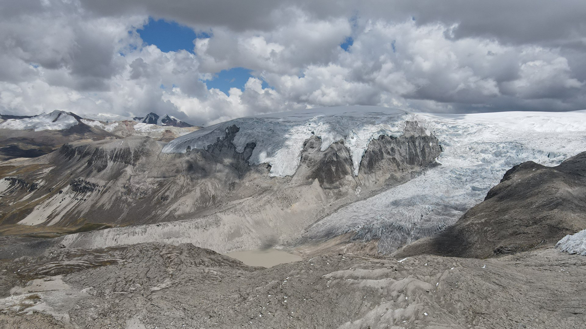
Plants Reveal the History of Earth’s Largest Tropical Ice Cap
Rooted plants buried by advancing outlet glaciers illustrate rapid changes in the extent of Quelccaya Ice Cap in Peru during the Holocene.
Posted inEditors' Highlights
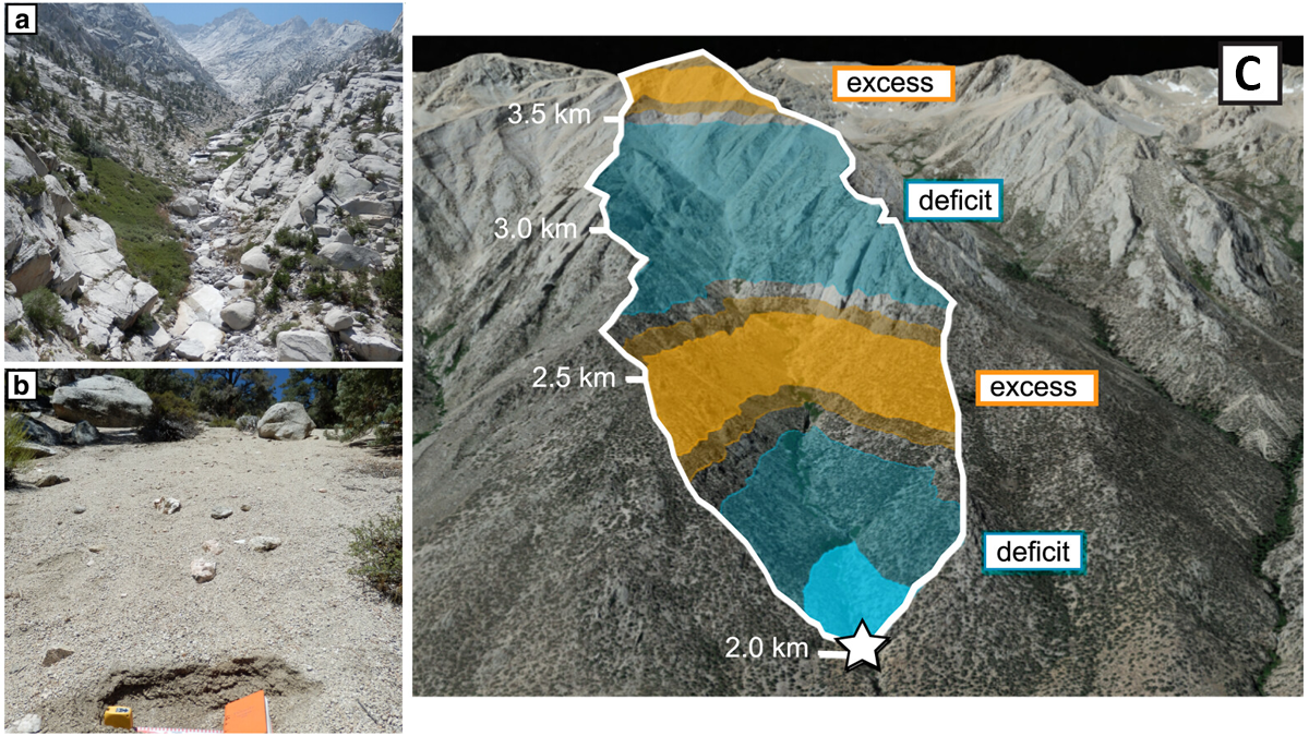
Revealing a Catchment’s Erosional Secrets: Grain Size Matters
A provenance study with 699 new samples from 12 different sediment grain sizes (from sand to boulder) shows that each fraction originates from distinct parts of a mountain catchment in California.

Posted inEditors' Highlights
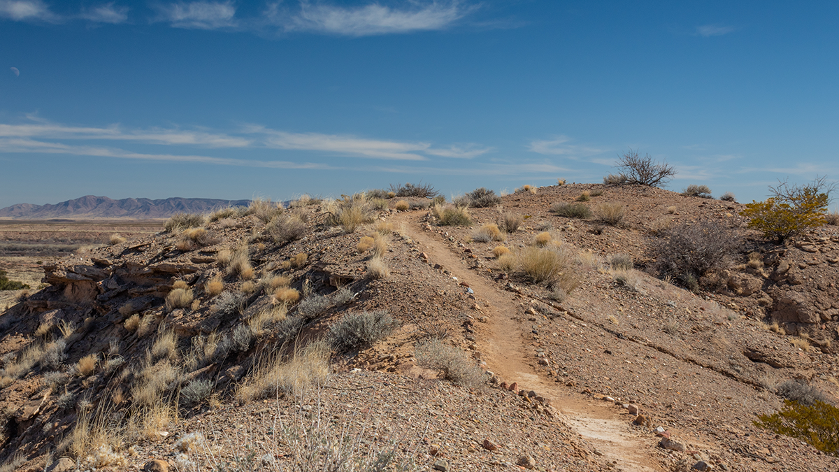
Desert Landscape Evolution Controlled by Storm Intensity
A new study in the Negev Desert finds that long-term erosion of a desert escarpment occurs in drier areas where intense storms are most frequent.
Posted inEditors' Highlights
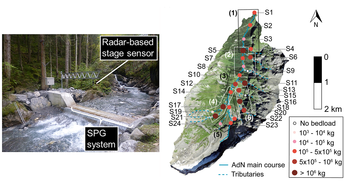
Seismometers Listening at Rivers to Measure Sediment Transport
Bedload sediment, transported throughout an alpine catchment by a flood, was remotely tracked in detail by analyzing the ground vibrations recorded by a network of 24 seismic sensors.